Climbing Mt. Borah via Chicken-Out Ridge: The Tallest Peak in Idaho
Distance: 8.2 miles / 13.2 km
Elevation Gain: 5,300 ft. / 1,615 m
For most people, talking about the Mt. Borah Trail is all about Chicken-Out Ridge.
This is because most hikers generally have no difficulty with the first 3.5 miles (5.6 km), outside of the steep elevation gain, to the base of Chicken-Out Ridge, but the short 0.4 mile (0.6 km) section that immediately follows is what prevents many from reaching the top of Idaho.
That being said, it can be a challenge to compare what difficulty looks like between hikers, as it largely depends on your comfortability with exposure, but read through the next section if you have any doubts.
How Hard is Chicken-Out Ridge?
If you asked me this question, I would say that Chicken-Out Ridge is a walk in the park.
Now, I’m saying that because all of my exposure experience comes from Hawaiʻi, where the rock is softer, wetter, more crumbly, and many times you are trusting your life to the plants available on these hairline ridges. Therefore, learning to hike/ climb basalt has made granite seem like a playground to me.
In any case, if you don’t have experience with exposure, then Chicken-Out Ridge should not be taken lightly, as a fall from either side of the ridge would likely be fatal.
That being said, Chicken-Out Ridge is one of the easier Class 3/ 4 climbs I’ve seen across the Mountain West, and I say this because there is no shortage of places to figure out your next move. It’s not as if there is only one narrow route you have to scoot across.
Therefore, if you know yourself to be comfortable with scrambling/ scooting down sections on your butt while exposed to big drops, then you will be fine. If you are the type of person that gets worked up while scrambling next to a big drop, then perhaps Chicken-Out Ridge isn’t for you.
How does Mt. Borah’s Chicken-Out Ridge Compare to the Knife Edge on Capitol Peak?
It doesn’t. The knife’s edge on Capitol Peak is, by far, more technical than Chicken-Out Ridge, as it’s more of a true saddle where you may want to sit and scoot across the most exposed sections.
As previously mentioned, Chicken-Out Ridge has many more possible routes; whereas on Capitol Peak, there is truly only one.
Read My Separate Post: Capitol Peak Trail
Mt. Borah Trailhead Parking
Parking for the Mt. Borah Trail is located at the very end of Birch Springs Road in Mackay, Idaho.
While I’m sure it depends on the weather, as well as how early in the season you visit, the dirt road leading to the trailhead should be able to handle vehicles of all sizes, granted that the road is snow-free.
Google Maps Directions: Mt. Borah Trailhead
Hiking Checklist - Lost River Range
Here is a complete list of must-have things that you will want for any hike in the Lost River Range.
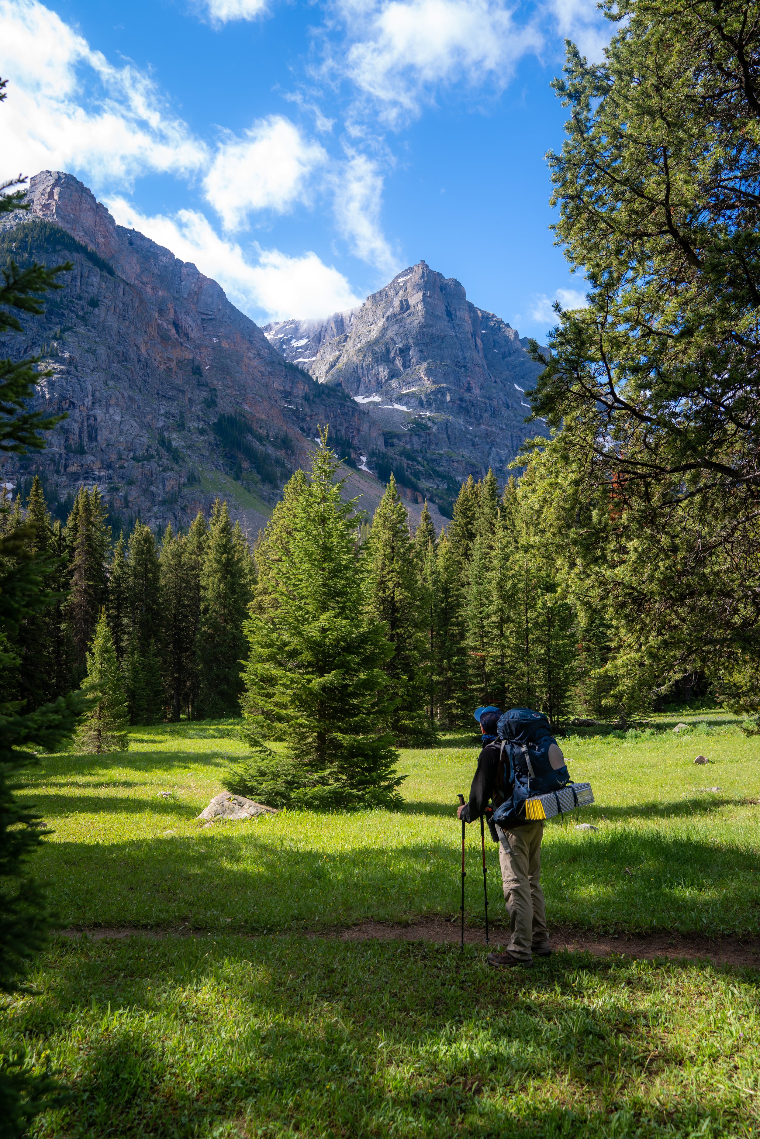
Climbing the Mt. Borah Trail
The Mt. Borah Trail begins in the Sagebrush before ascending into a beautiful Bristlecone Pine within the first 0.25 miles (0.4 km).
At about 1.1 miles (1.8 km), the Mt. Borah Trail makes a hard right turn for the ridge that continues up the peak. Note that this turn can be easy to miss on the return hike, so be sure to make a mental note.
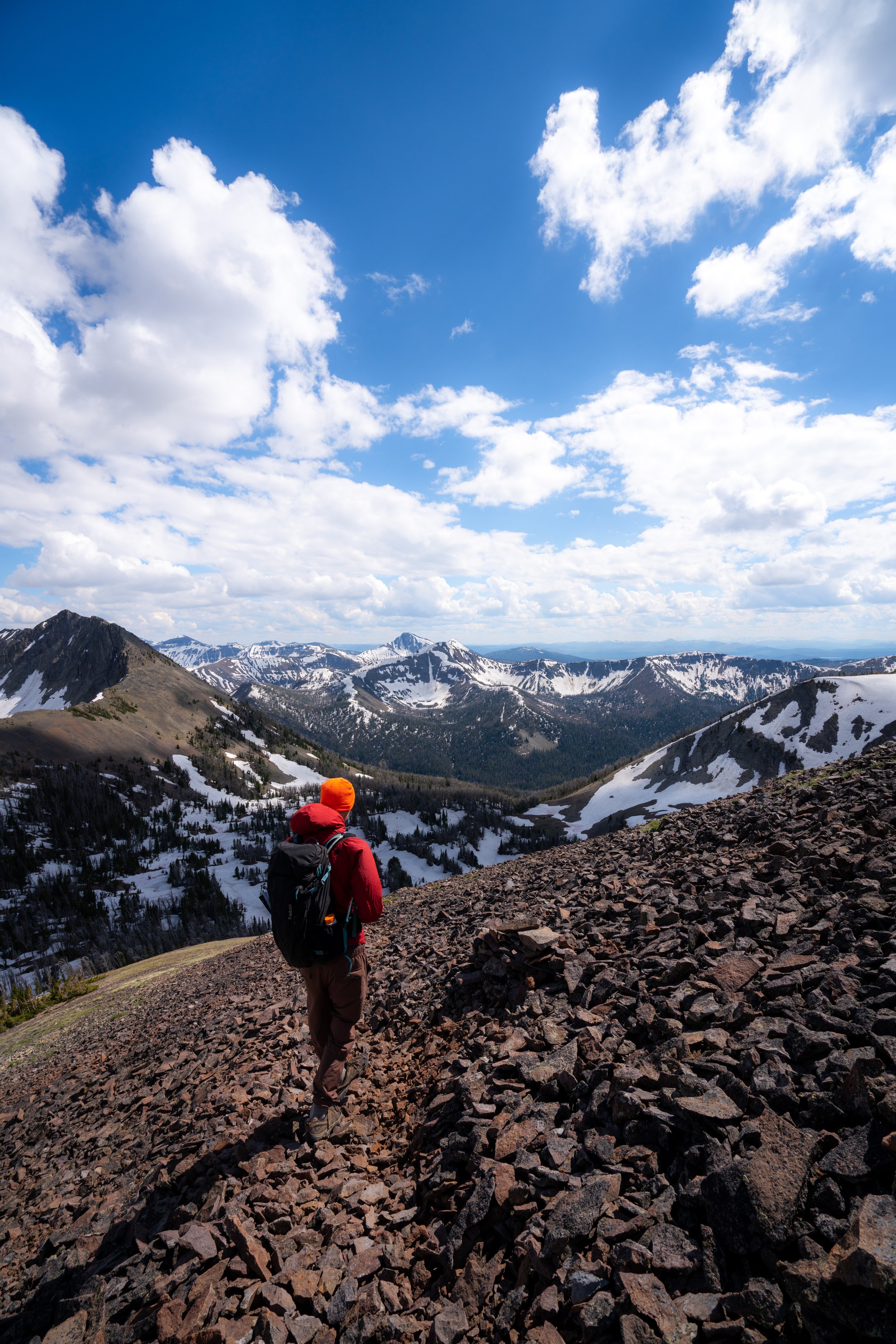
Then, at roughly the 10,000 ft. (3,048 m) mark, the trail crosses above the tree line, which is why I recommend hiking in a hooded sun shirt, like the ones below.
Chicken-Out Ridge
At about 11,300 ft. (3,444 m), you will start to get a clear picture of the scrambling on Chicken-Out Ridge.
That being said, we stayed on the ridgeline more when hiking up to the peak, but on the hike back, we contoured the ridge to the west. Personally, I believe that whichever way you choose will be similar in terms of difficulty.
The end of the short 0.4-mile (0.6 km) Chicken-Out Ridge is this small scramble section, shown in the photo below.
In our experience, there was a rope there, but it’s not really necessary.
Then, the final approach will be very flat, as you approach the summit ridge.
Mt. Borah Summit Ridge
As you head up the summit ridge, you might notice a few different trails all leading in the same direction, but in my experience, they all lead to the same place.
Mt. Borah
According to the National Forest Service, the summit of Mt. Borah is 12,662 ft. (3,859 m), and from the top, you can get great 360° views of the Lost River Range.
However, you unfortunately cannot see the Borah Glacier, Idaho’s only glacier, from the summit, which is just off the peak on the north side.

Mt. Borah
Hiking Down Mt. Borah
Like us, you may think you found a better route down Chicken-Out Ridge, but after doing it two different ways, I don’t think that one way was any better or worse than the other.
On different note, I thought that the steep elevation on the Mt. Borah Trail was much more noticeable on the way down than up. For this reason, you may want to bring trekking poles for the descent, as Mt. Borah truly is one of the steepest trails outside of a scramble.
Additional Early Season Gear
Depending on the winter snowpack, micro-spikes may be necessary, especially when the trail reaches some of the more exposed sections above tree line.
This is because upper elevation trails, like the Mt. Borah Trail, can be covered in snow for much longer than lower areas across Idaho, making these sections extremely dangerous when they are snowy and icy.
I personally use the Yaktrax below.