Hiking the Humbug Mountain Loop Trail on the Oregon Coast
Distance: 5.6 miles / 9.0 km
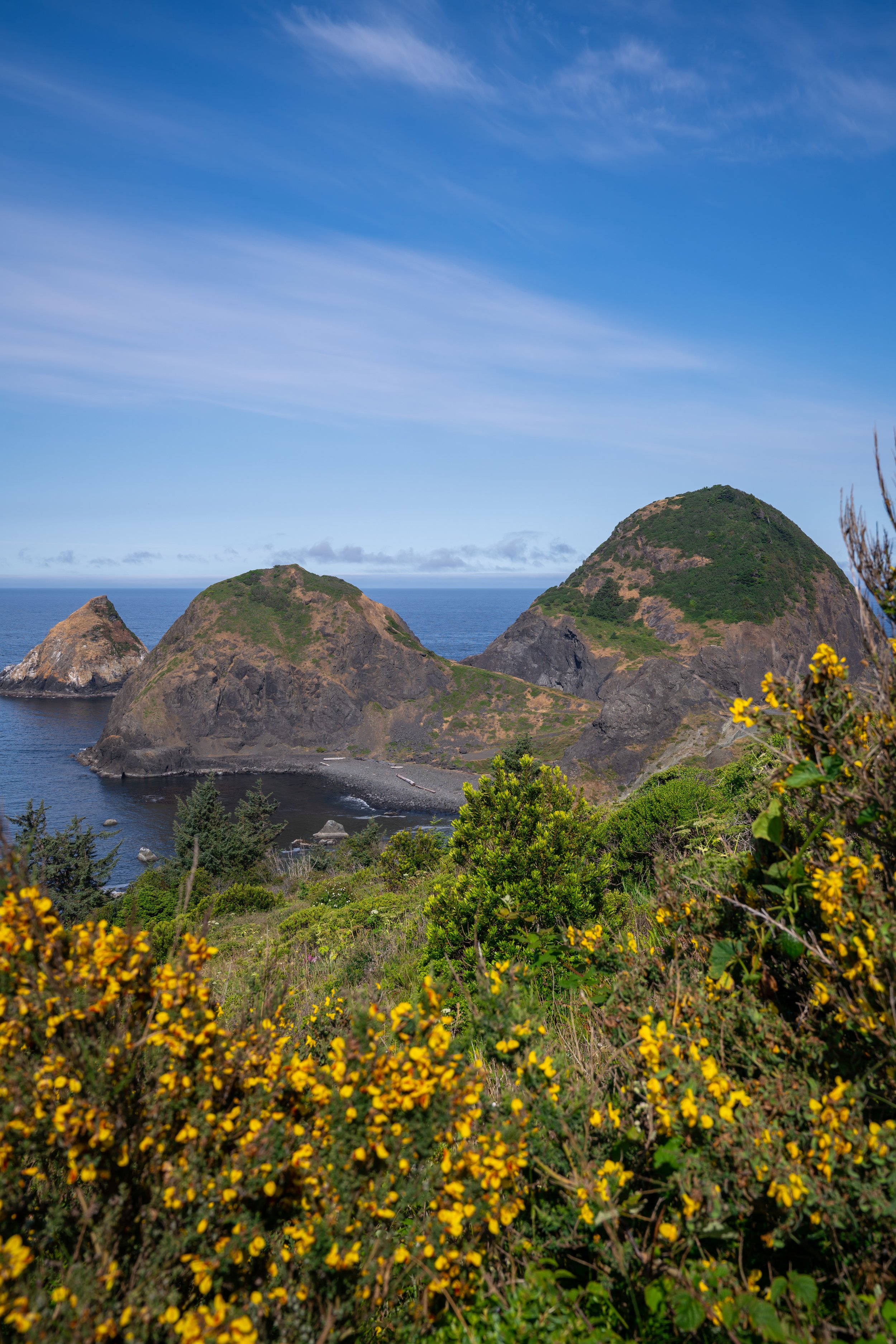
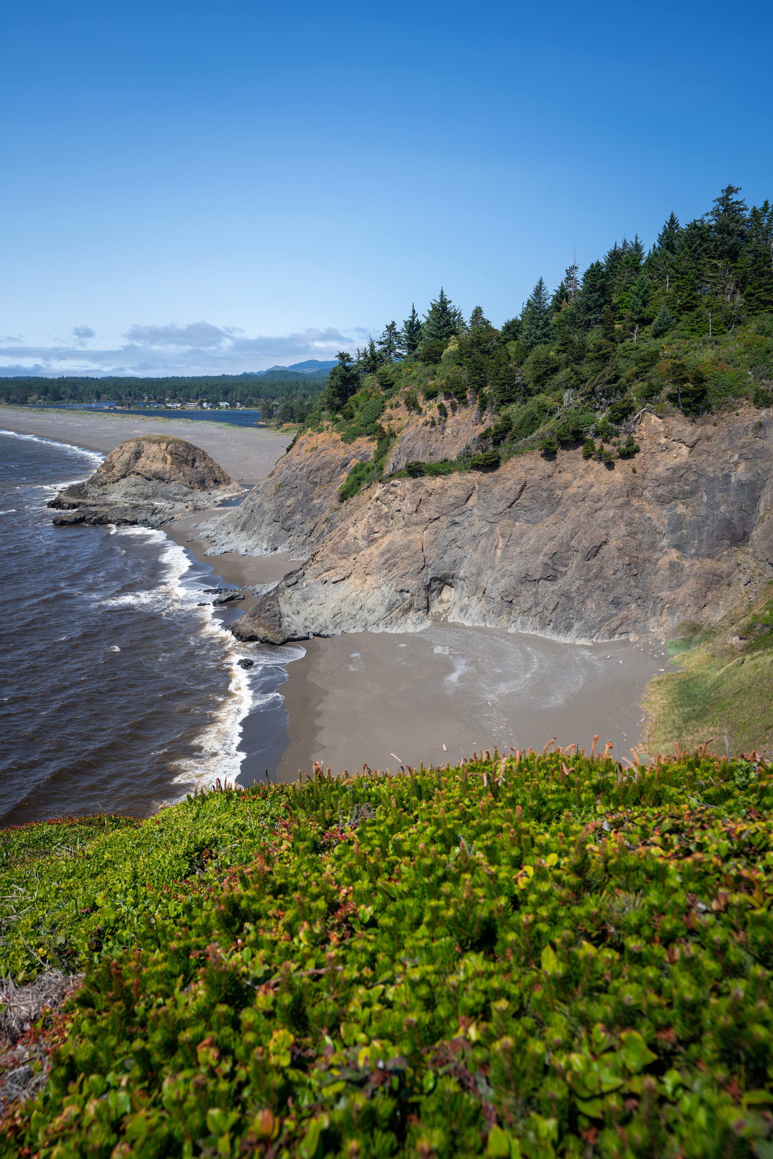
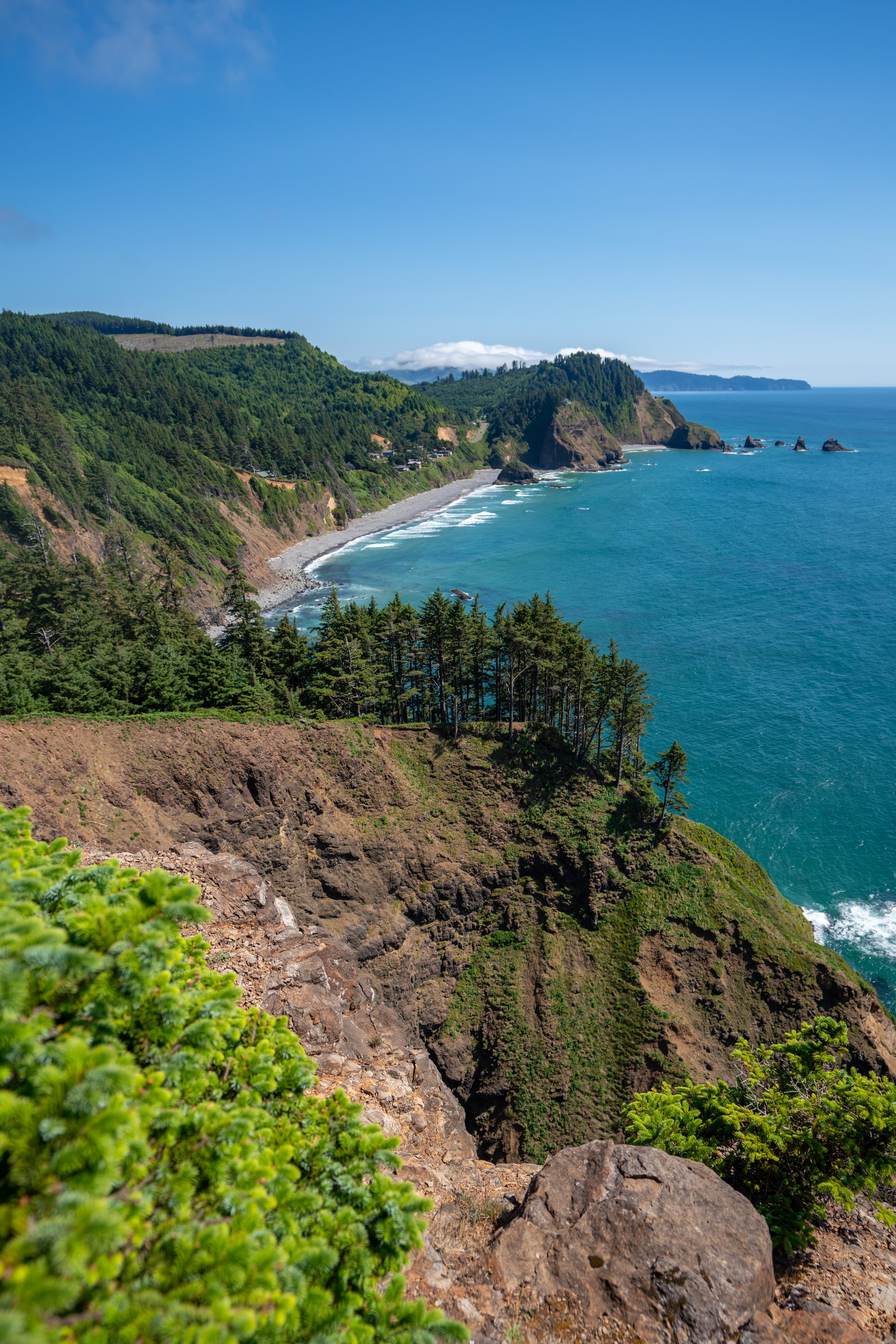
Humbug Mountain in Port Orford, Oregon, is one of just a few hikes on the Oregon Coast that climbs to the summit of a true peak. The other most notable is Neahkahnie (or Neah-Kah-Nie) Mountain in Manzanita.
By this, I mean that most hikes along the Oregon Coast simply wind their way up and down the rugged coastline, but few climb to the summit of any mountain.
That said, the Humbug Mountain Trail, also called the Humbug Mountain Loop Trail, ascends to a beautiful south-facing overlook above the southern Oregon Coast by way of one of two different routes, which are commonly combined to create a loop—the same loop referred to in this article.
Humbug Mountain Trailhead Parking
Parking for the Humbug Mountain Loop Trail is located in a large parking lot just off the Oregon Coast Highway on the mountain side of U.S. 101.
Google Maps Directions: Humbug Mountain Trailhead
Hiking Checklist - Oregon Coast
Black bears can be found up and down the Oregon Coast, but hiking with or without bear spray is truly up to your own discretion and comfort level when adventuring in black bear territory.
Furthermore, here is a complete list of must-have things that you will want for any hike on the Oregon Coast.
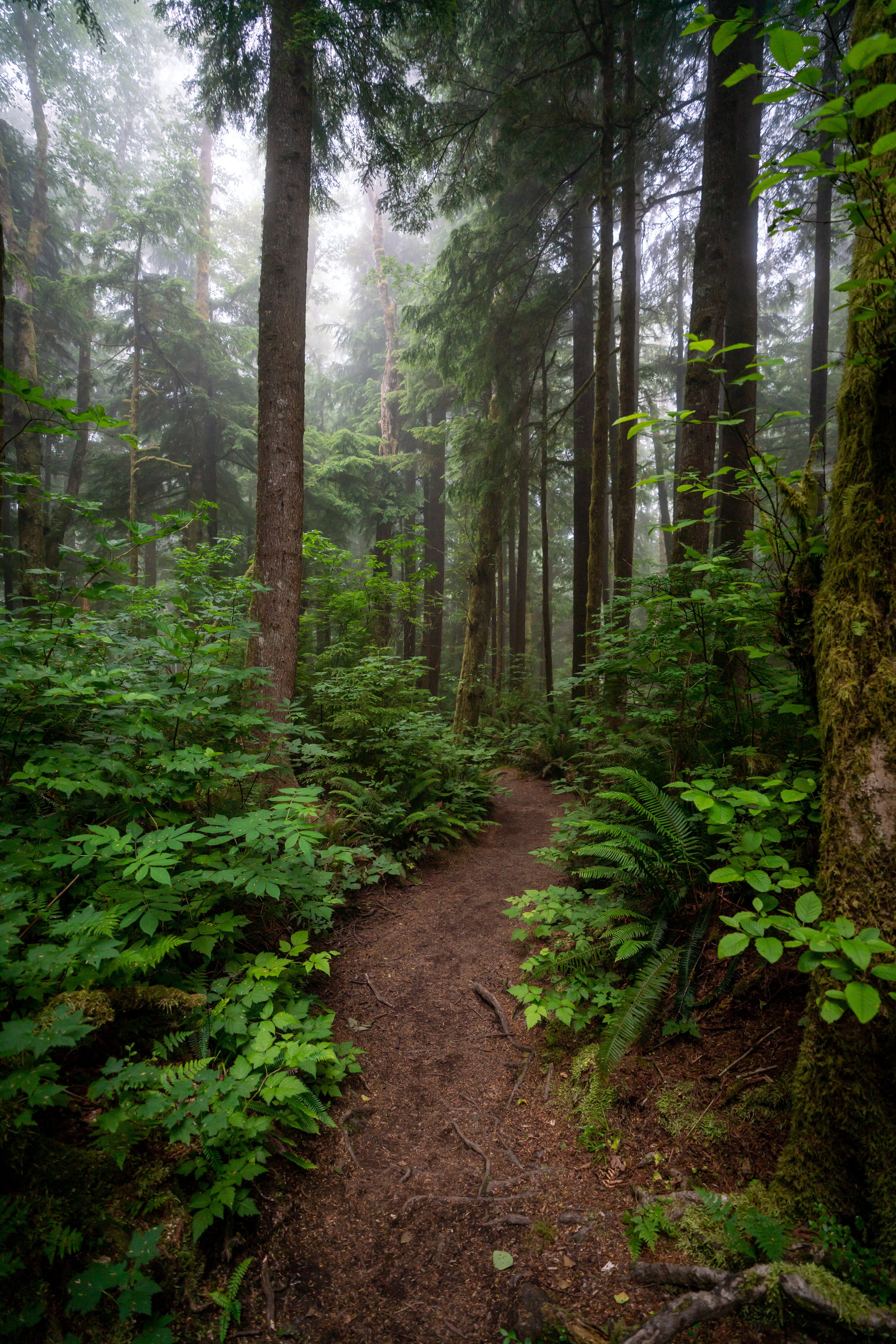
Hiking the Humbug Mountain Loop Trail
In my opinion, the first 0.5 miles (0.8 km) of Humbug Mountain before the loop junction felt like the steepest sections of the trail.
From what I recorded, this distance seems to be a little bit of an overestimation, with the East Humbug Loop being slightly longer.
Regardless, Humbug Mountain is an entirely uphill hike from the trailhead to the summit.
Humbug Mountain proved to be one of the best marked trails on the Oregon Coast, as these distance markers could be found on the entire trail.
Eventually, the trail crosses over a stream, which may or may not be flowing.
This is the same stream that parallels the trail shortly after beginning the hike.
Humbug Mountain Loop Trail
At about 0.9 miles (1.4 km) into the trail, the Humbug Mountain Trail splits into both an east and west loop that both connect just prior to the summit.
I don’t think one trail is necessarily easier or harder than the other. Therefore, I highly recommend doing the loop, so that you can see different parts of the mountain on the way up and down.
West Humbug Loop Trail
Distance: 1.8 miles / 2.9 km
On this hike, I decided to climb up Humbug on the West Summit Trail and return later on the East Summit Trail.
Humbug Mountain Summit Junction
At the top of the West and East Humbug Summit Trail, the loop comes together at the area in the photo below.
Go right at the split to reach the summit of Humbug Mountain only, 0.1 miles (0.2 km) ahead. The route to the left is the start of the East Humbug Loop.
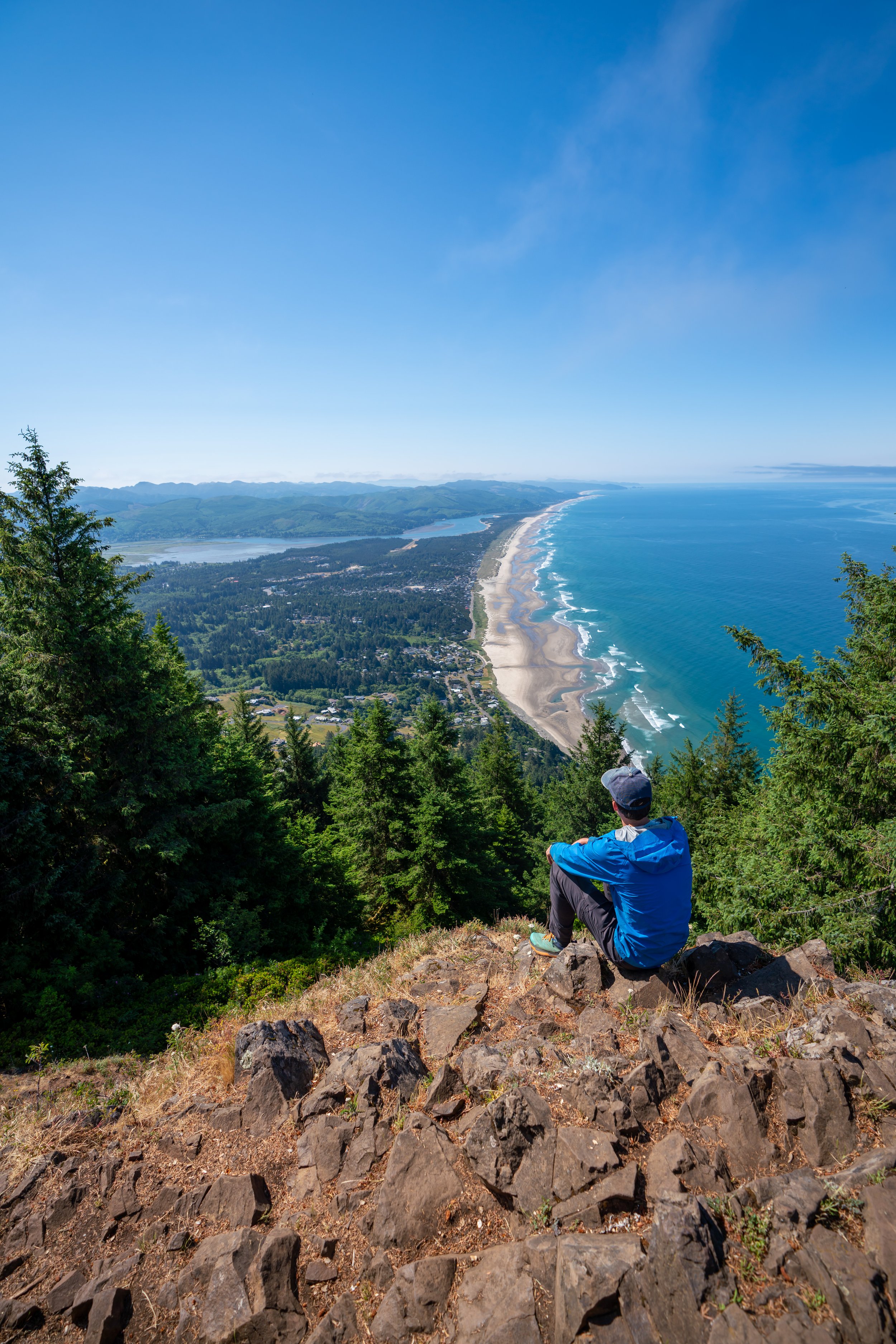
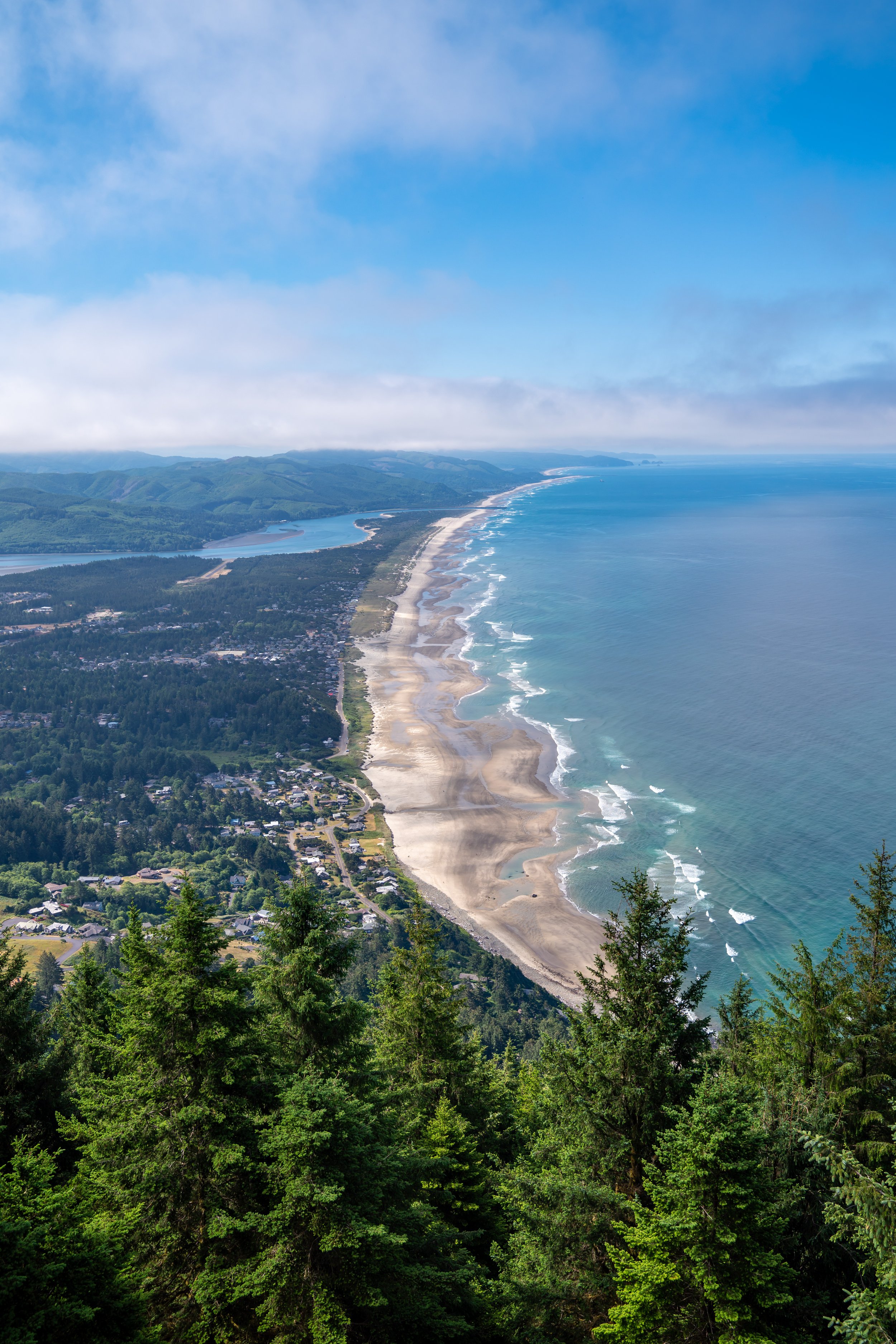
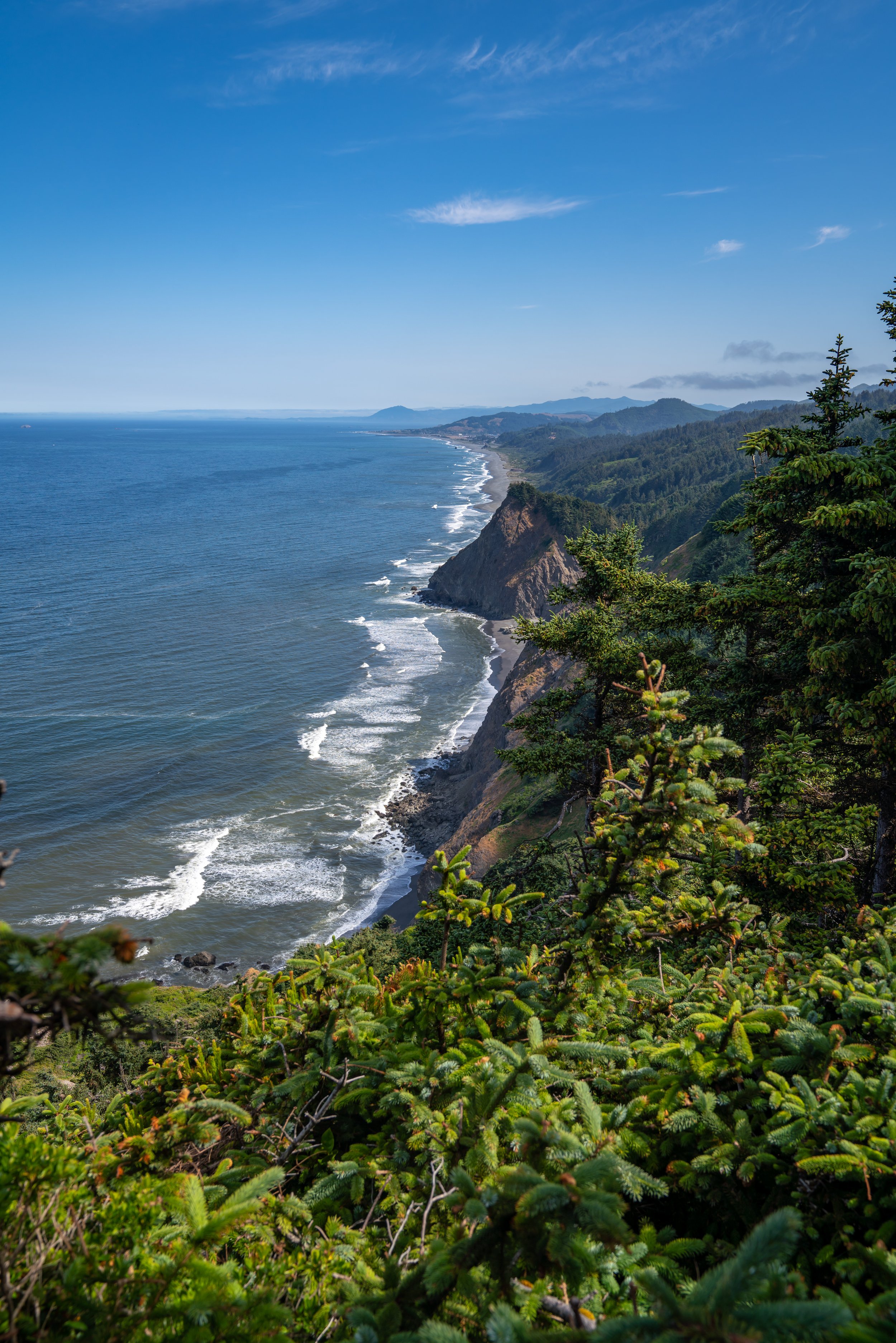
Summit of Humbug Mountain
The summit of Humbug Mountain is 1,756 ft. (535 m) in elevation.
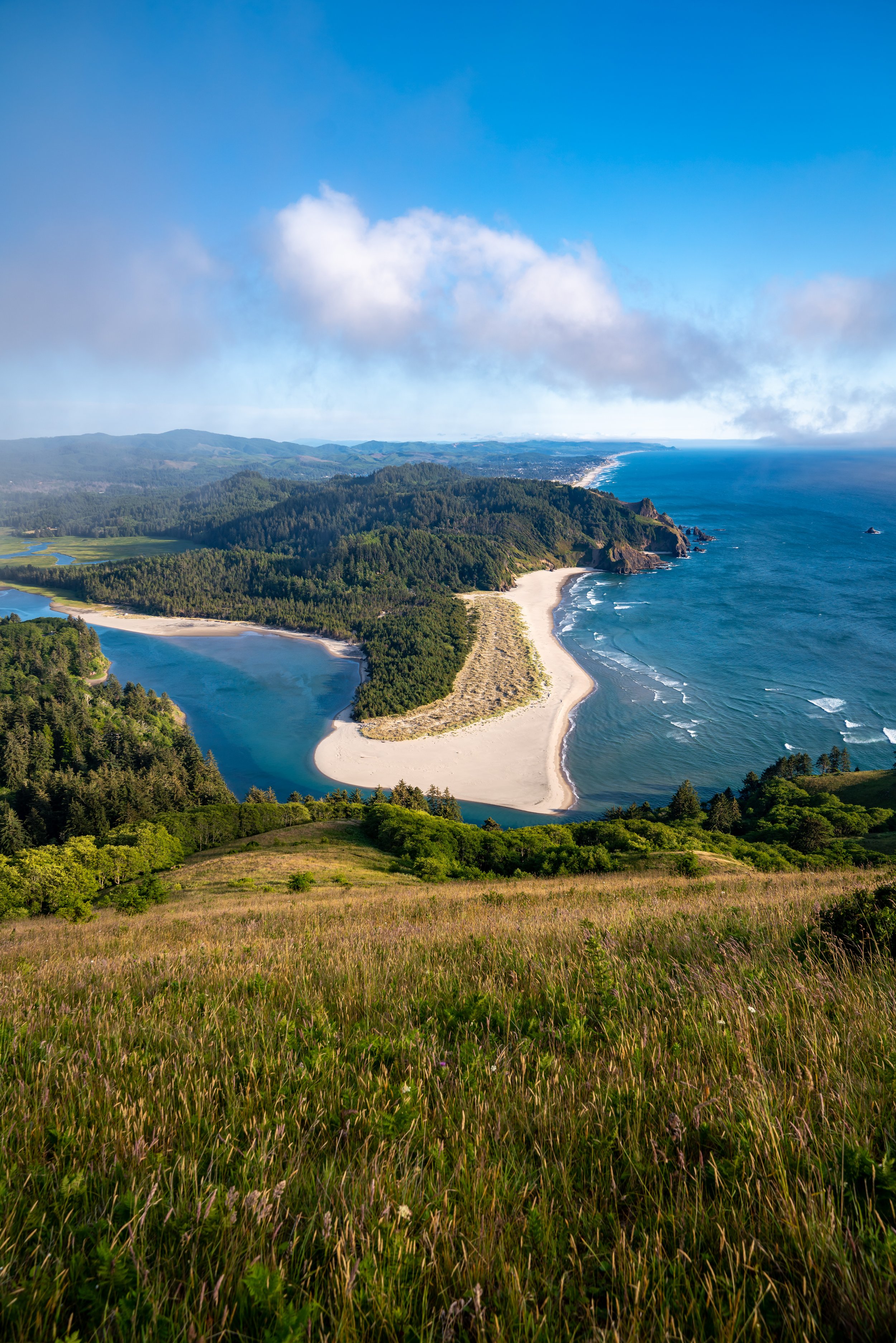
The main viewpoint from the summit of Humbug faces south toward Gold Beach, meaning that Humbug doesn’t necessarily make the best sunrise or sunset hike because the surrounding summit is so forested.
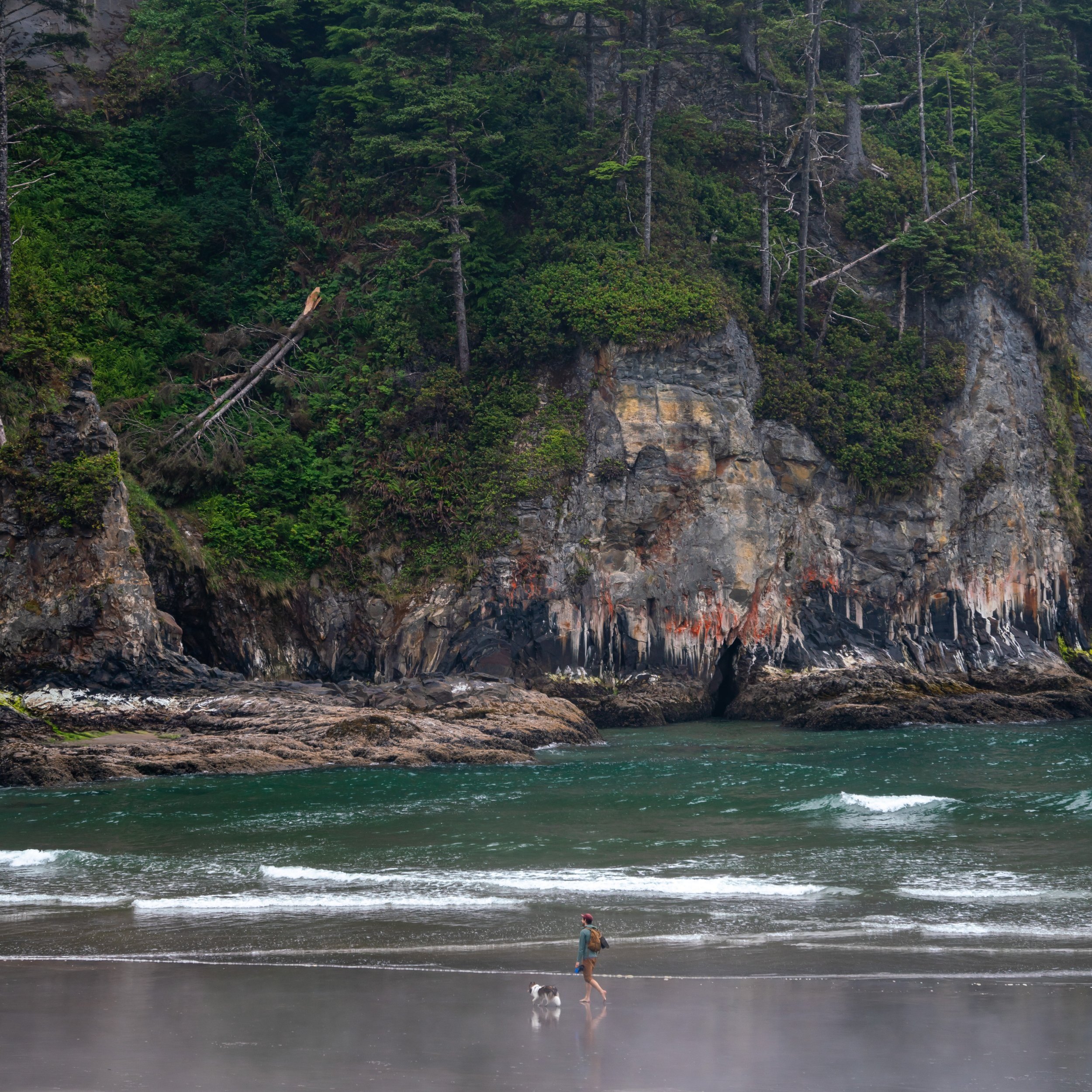
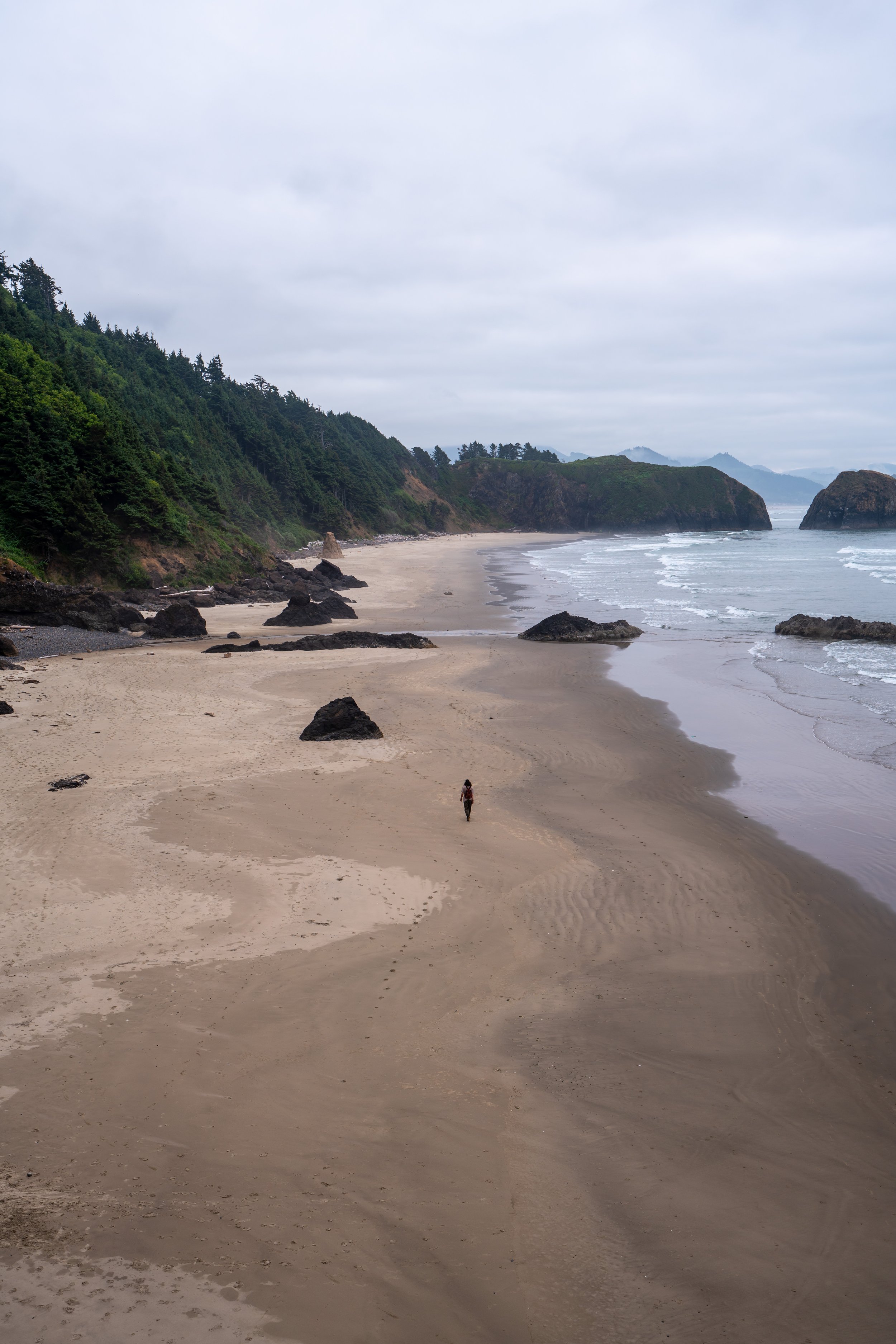
Regardless, if you hiked Humbug midday to late afternoon, I recommend heading back down and catching sunset at Arizona Beach just south of the mountain.
Arizona Beach is easily one the best uncrowded beaches on the Oregon Coast.
East Humbug Loop Trail
Distance: 1.8 miles / 2.9 km
At the split below the summit, go right to begin the East Humbug Loop back the original junction.
Since the hike up Humbug is almost entirely uphill, the hike back down seemed to fly by in comparison.
In my experience, there were still beautiful Rhododendrons blooming on the coast in late June.
Humbug Mountain Loop Junction
After about 1.8 miles (2.9 km), the East Humbug Summit Trail meets back up with the West Trail, with only 0.9 miles (1.4 km) left to reach the trailhead.