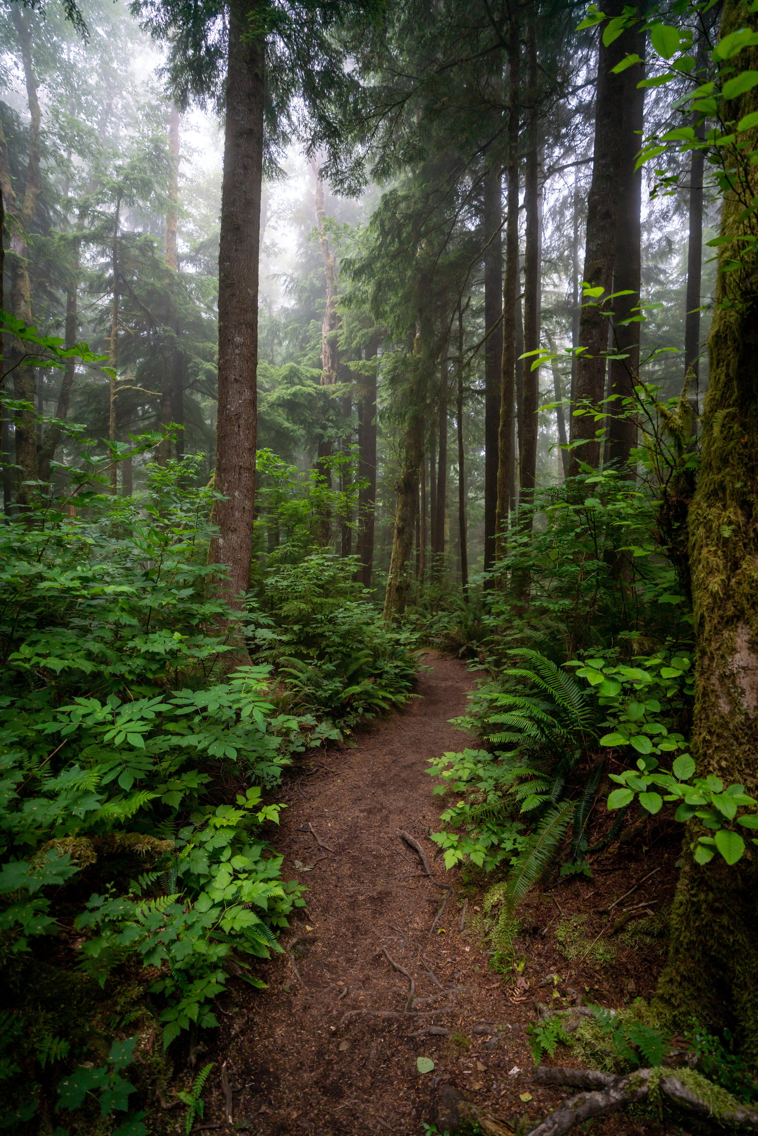
Hiking the North Neahkahnie Mountain Trail on the Oregon Coast
Distance: 4.6 miles / 7.4 km
With stunning ocean views from the towering summit, Neahkahnie Mountain in Manzanita is a must-see day hike on the Oregon Coast that has become a favorite among both locals and visitors alike!
Having said that, it’s important to know that there are two main routes up Neahkahnie Mountain—one from the north and one from the south. This article is all about the North Neahkahnie Mountain Trail, which is often hiked less than the south because it is seen as more challenging.
However, for a full breakdown of both trails, be sure to check out my side-by-side comparison below!
North vs. South Neahkahnie Mountain Trail
Neahkahnie, or Neah-Kah-Nie Mountain, can be hiked via either the North or South Trailhead in Oswald West State Park.
Now, in terms of which Neahkahnie Mountain trail is better or more difficult, the answer is easy—the North Neahkahnie Trail is more challenging.
This is because the North Neahkahnie Trail is a bit longer, with a little more than 300 ft. (91 m) of extra elevation gain since the trailhead is located lower on the mountain. For this reason, and because there are hardly any additional views when hiking from the North Trailhead, my personal preference leans toward the South Neahkahnie Mountain Trail. However, if you prefer a quieter adventure with fewer people on the trail, I recommend choosing the North Neahkahnie Mountain Trail.
Read My Separate Post: South Neahkahnie Mountain Trail
North Neahkahnie Mountain Trailhead Parking
Parking for the North Neahkahnie Mountain Trail is located off the side of Highway 101 in a large parking lot for both Neahkahnie Mountain as well as the neighboring Elk Flats Trail.
During busy times of the year, like the summer months, this parking lot can fill up by mid-morning with hikers for either trail.
Google Maps Directions: North Neahkahnie Mountain Trailhead
Hiking Checklist - Oregon Coast
Black bears can be found up and down the Oregon Coast, but hiking with or without bear spray is truly up to your own discretion and comfort level when adventuring in black bear territory.
Furthermore, here is a complete list of must-have things that you will want for any hike on the Oregon Coast.
Hiking the North Neahkahnie Mountain Trail
From the parking area, the North Neahkahnie Mountain Trail starts across the busy U.S. 101.
In my experience, cars typically don’t slowed down for hikers, so be careful when crossing.
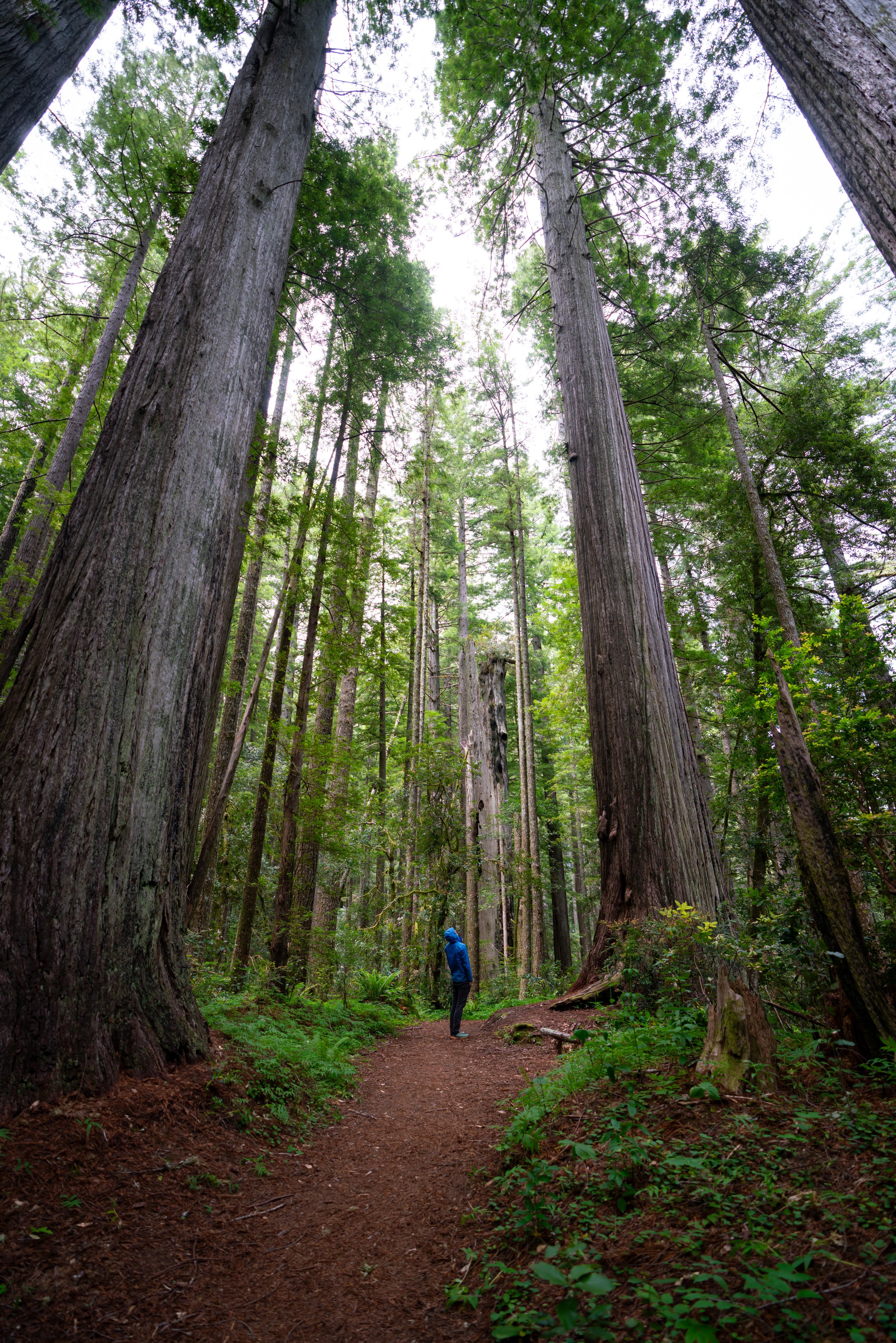
Past the north trailhead, the hike begins climbing a series of 9 or 10 switchbacks, depending on how you count, up about 1,200 ft. (366 m) of elevation from the trailhead to the summit.
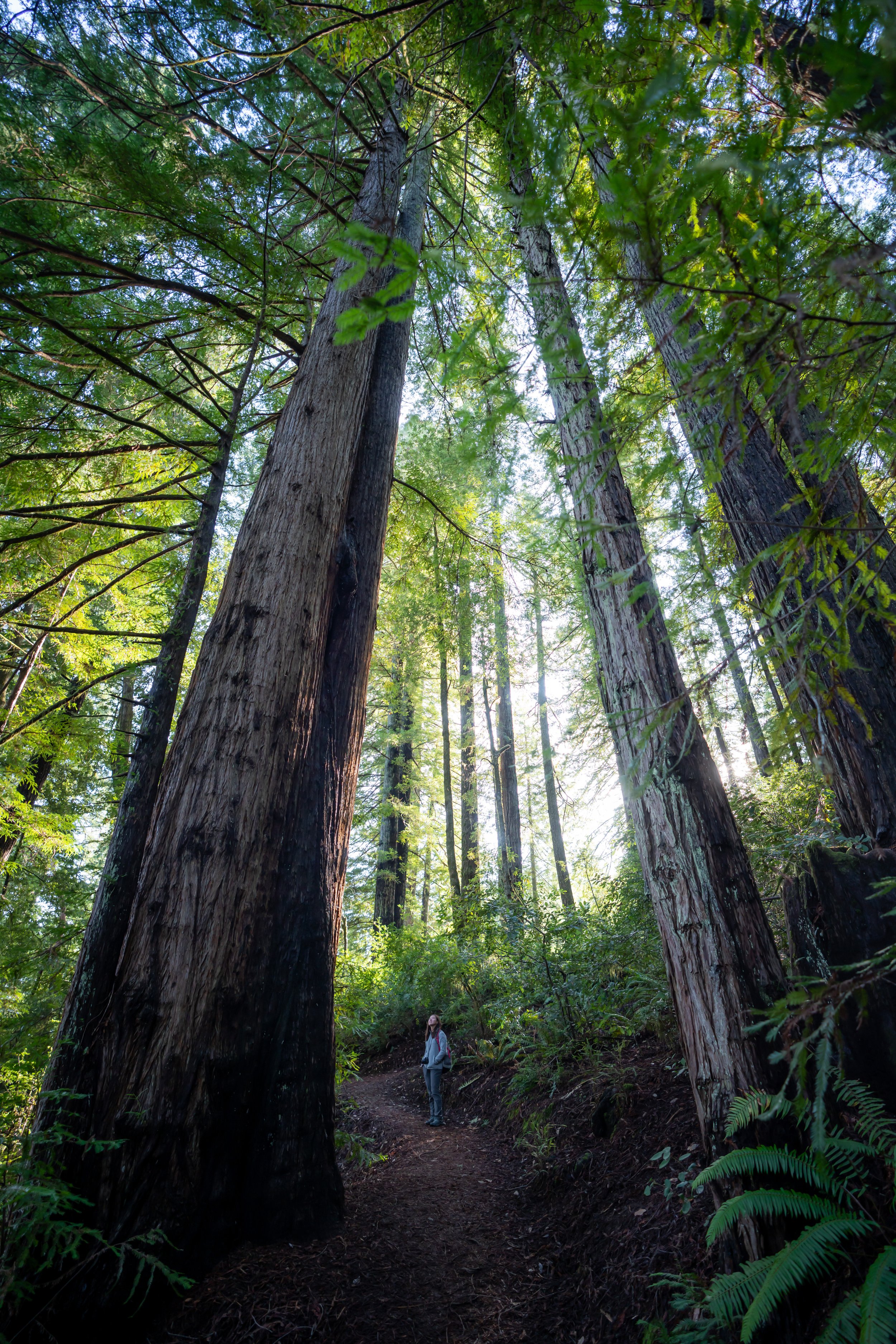
Eventually, the trail becomes a bit more shaded than the beginning switchbacks, making the hike a bit easier on a sunny day.
In my experience, nearly all of the downed trees on the trail had been clear, but I have heard that it can vary greatly depending on weather and maintenance.
As the trail nears the top, it levels out significantly compared to the beginning switchbacks after the trailhead.
Neahkahnie Mountain Saddle
Just after passing beneath the peak, the North Neahkahnie Trail meets with the South Neahkahnie Mountain Trail at the saddle between both the east and west peaks.
Typically speaking, most people only hike the west summit, which is the route shown first. However, the East Neahkahnie Summit is by far less trafficked and has much more expansive views from the top!
Read My Separate Post: South Neahkahnie Mountain Trail
West Neahkahnie Summit
From the saddle, go left to hike up to the more popular West Neahkahnie Mountanin Summit.
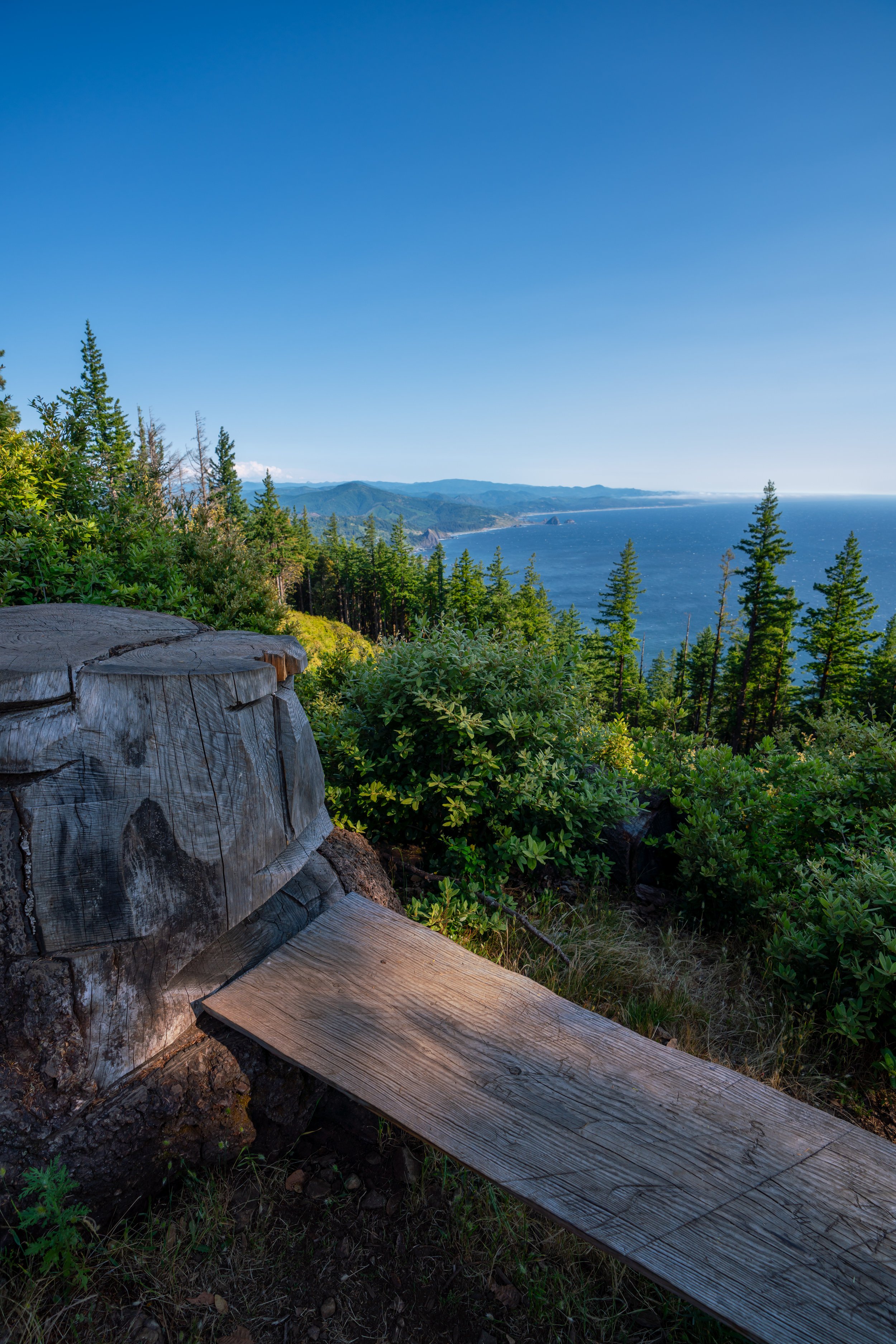
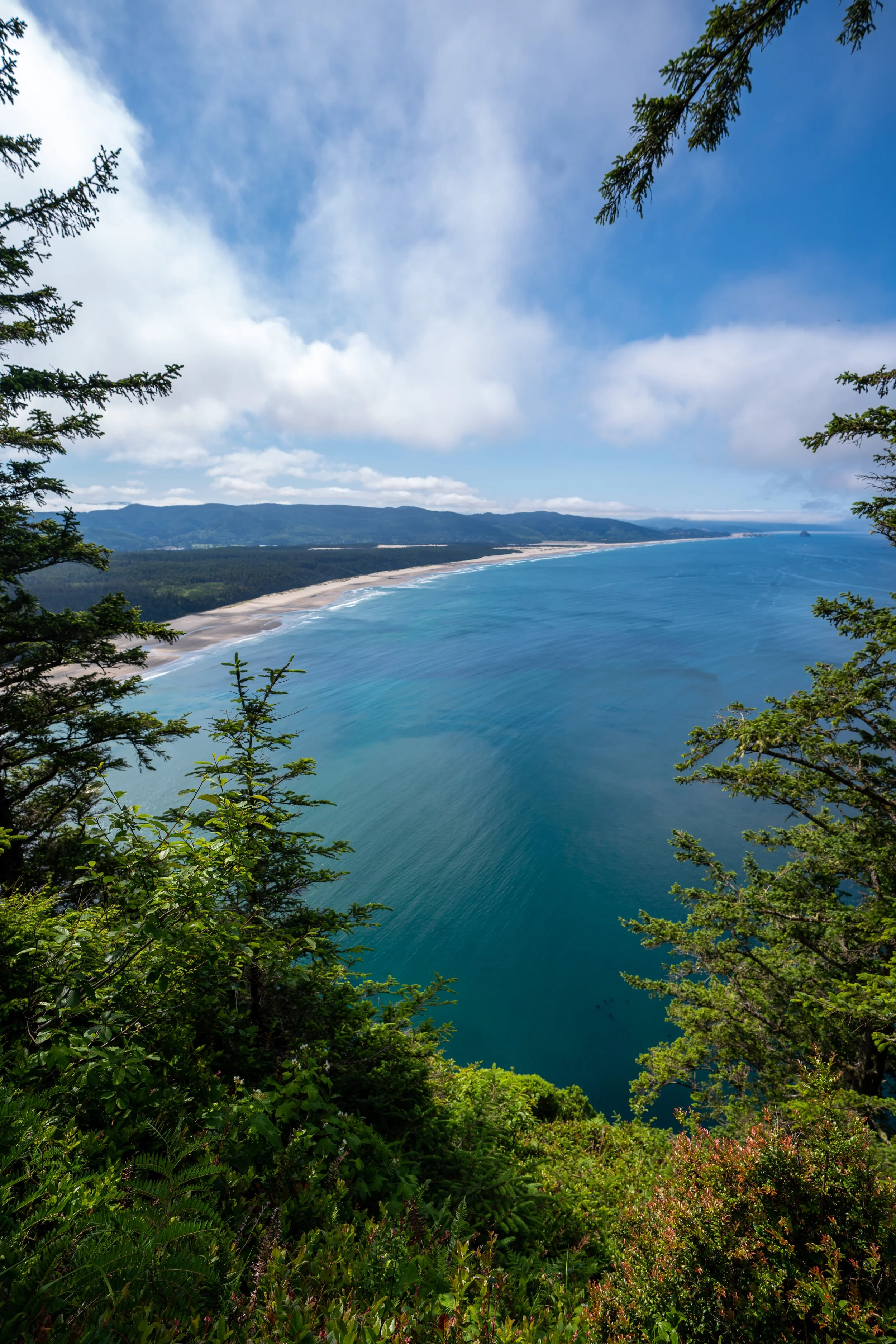
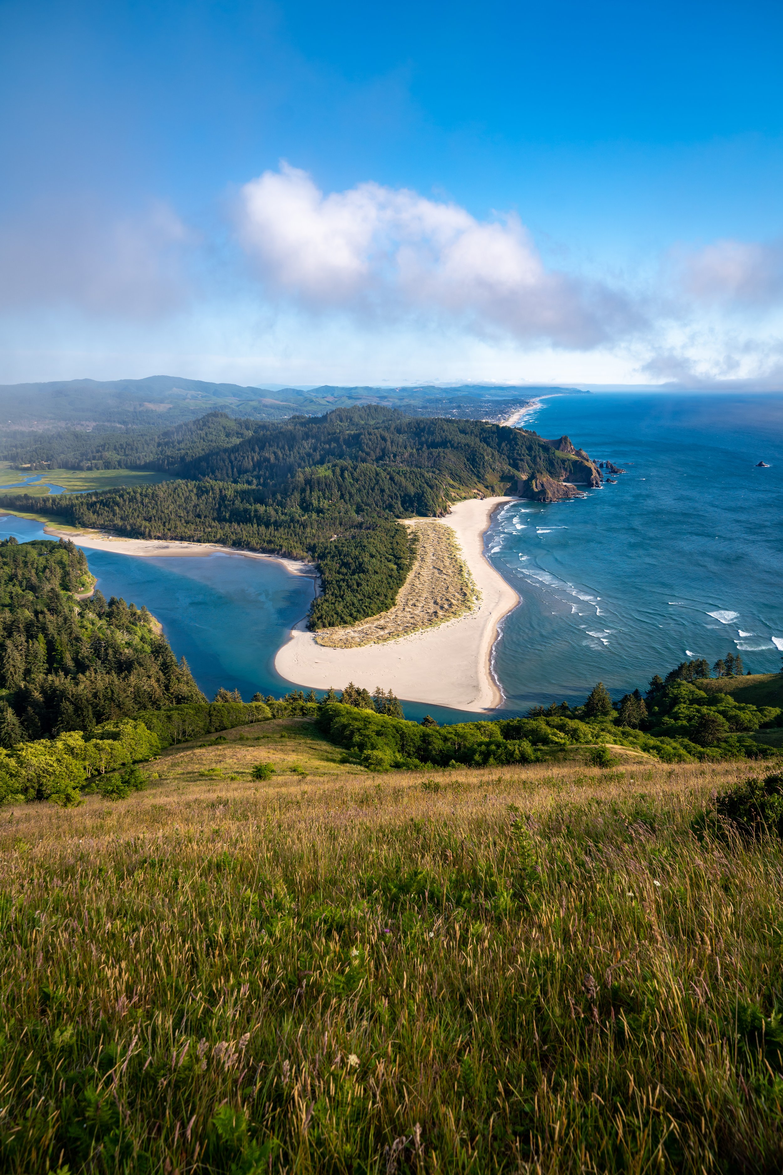
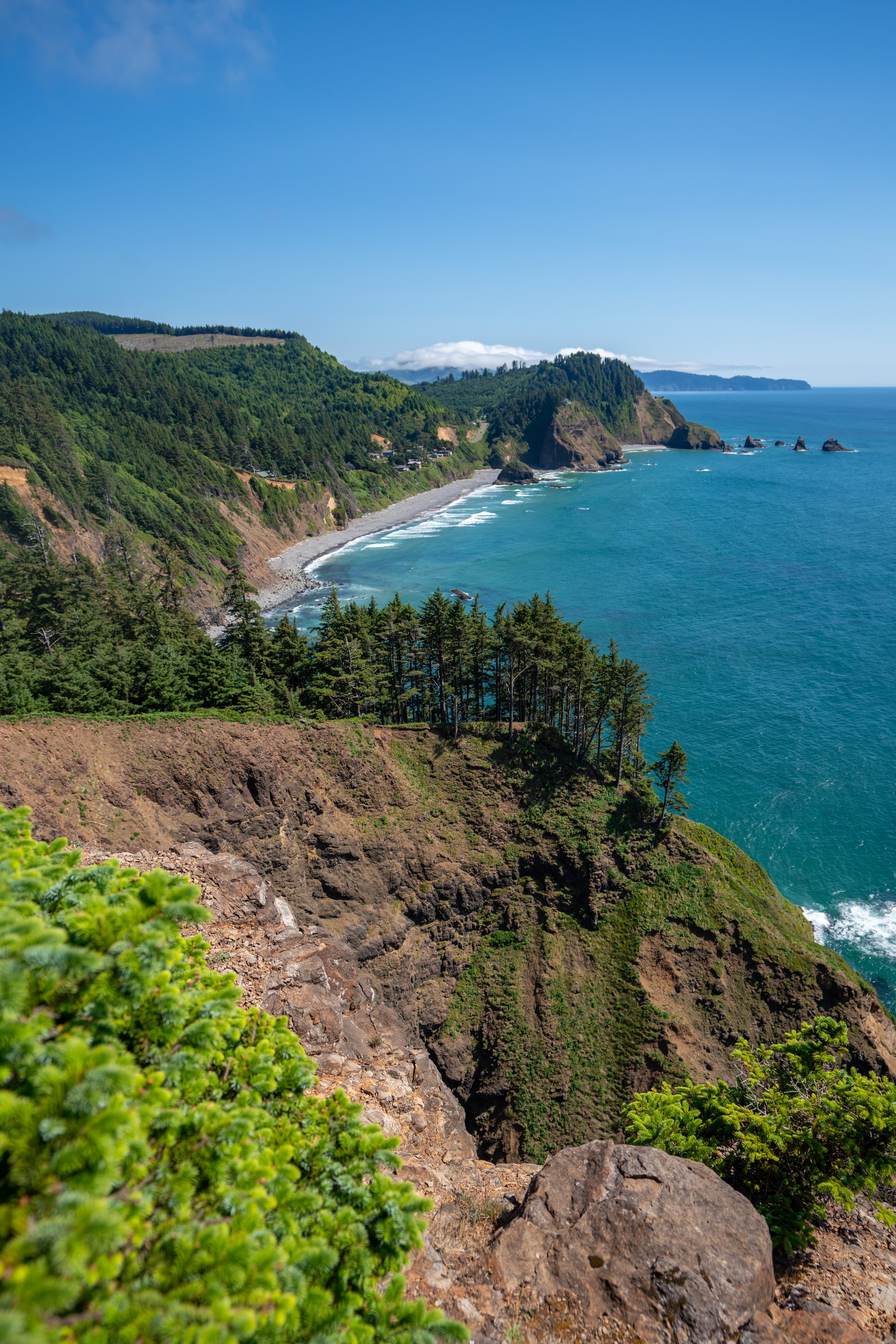
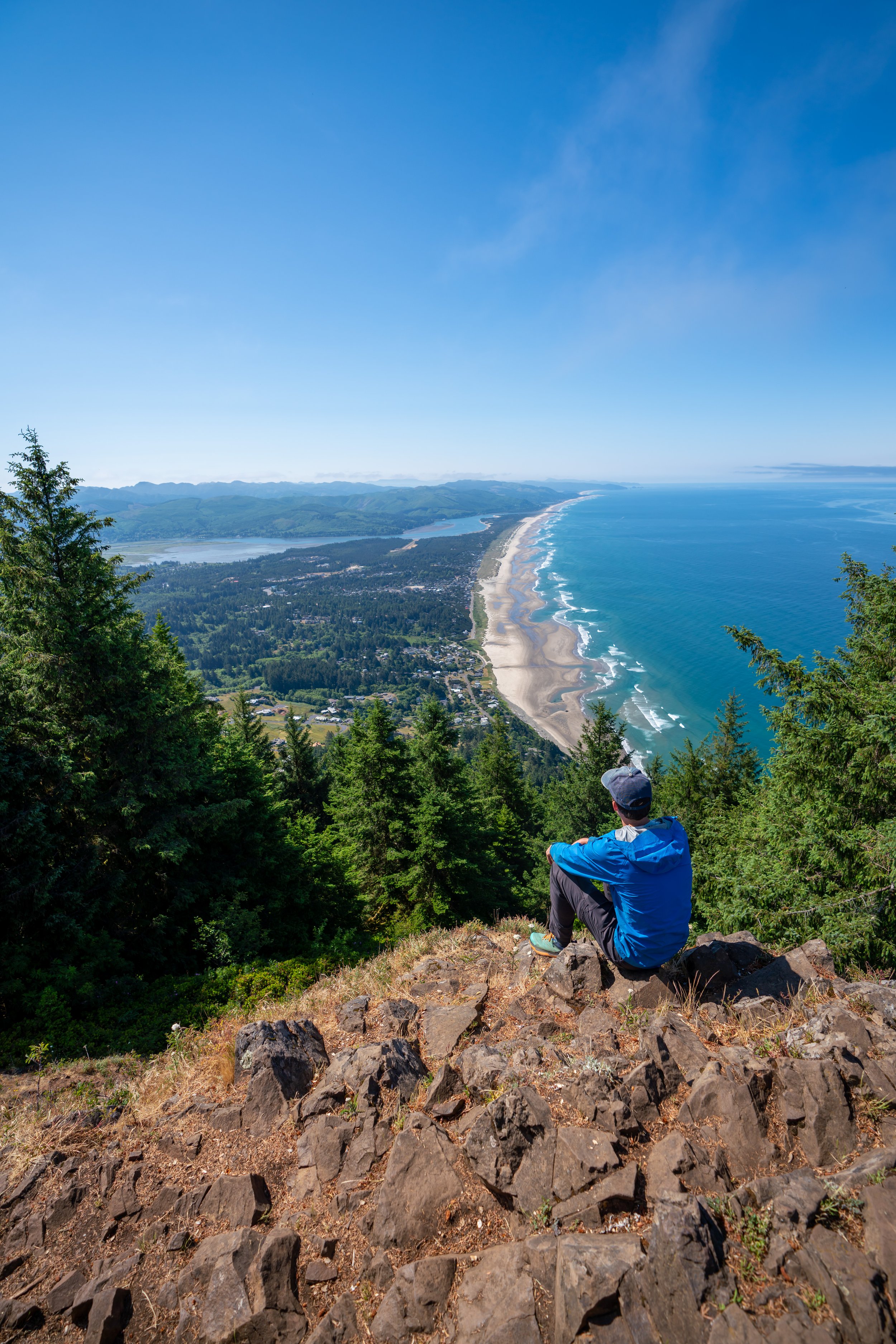
The view from the summit of Neahkahnie Mountain looks south down Neahkahnie Beach, Manzanita, and Nehalem State Park.
It’s worth noting that the view from the top of Neahkahnie Mountain is not always a guarantee. Since the Oregon Coast can be very overcast, especially during the wetter times of the year, the view from Neahkahnie Mountain can be socked in the clouds as often as it’s this clear in the photo below.
On the other side of the saddle, the ridge that heads up to the east summit is far less trafficked and a little more narrow than the west.
Only experienced people who are comfortable scrambling with moderately high-exposure should climb up the East Neahkahnie Summit.
East Neahkahnie Summit
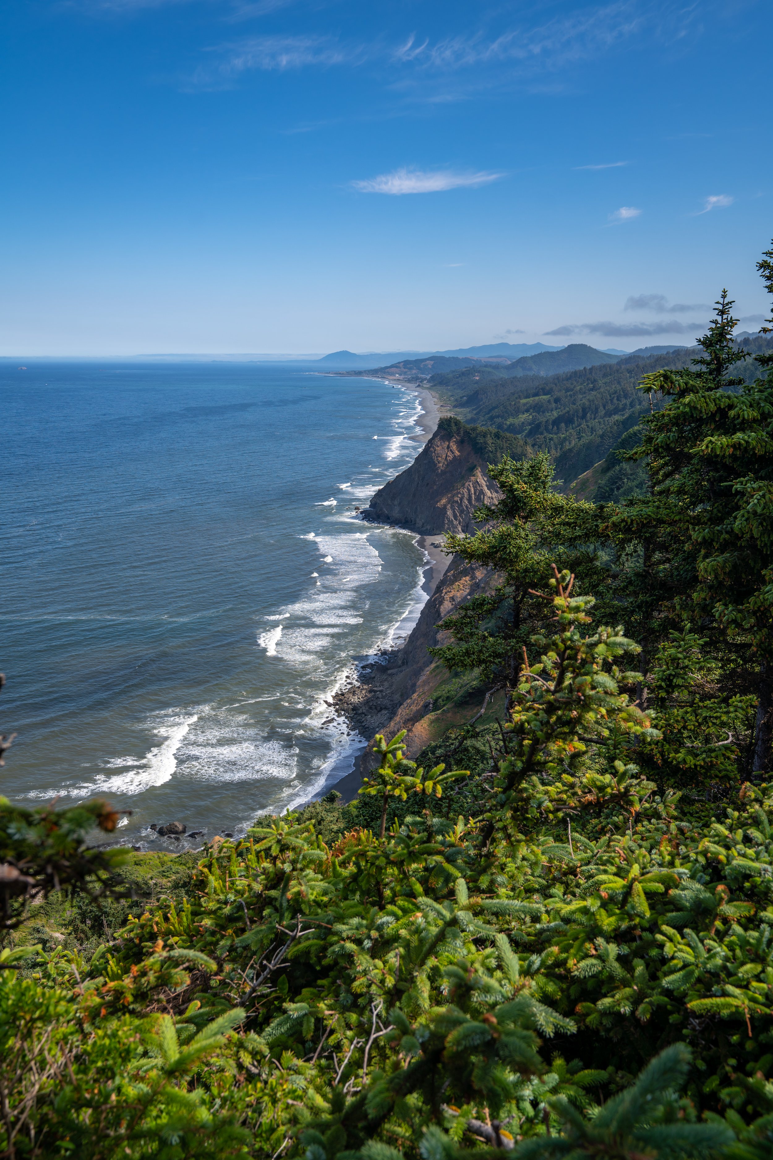
From the top of the East Neahkahnie Summit, the views up Nehalem River Valley are much more expansive than the west summit.
Again, only those who are comfortable scrambling up and down-climbing a slightly narrow ridge should attempt the east summit.


