Hiking the Lower Cascade Head Trail on the Oregon Coast
Distance: 4.5 miles / 7.2 km
The Lower Cascade Head Trail is one of the best hidden gems on the Oregon Coast—especially when hiked at sunset!
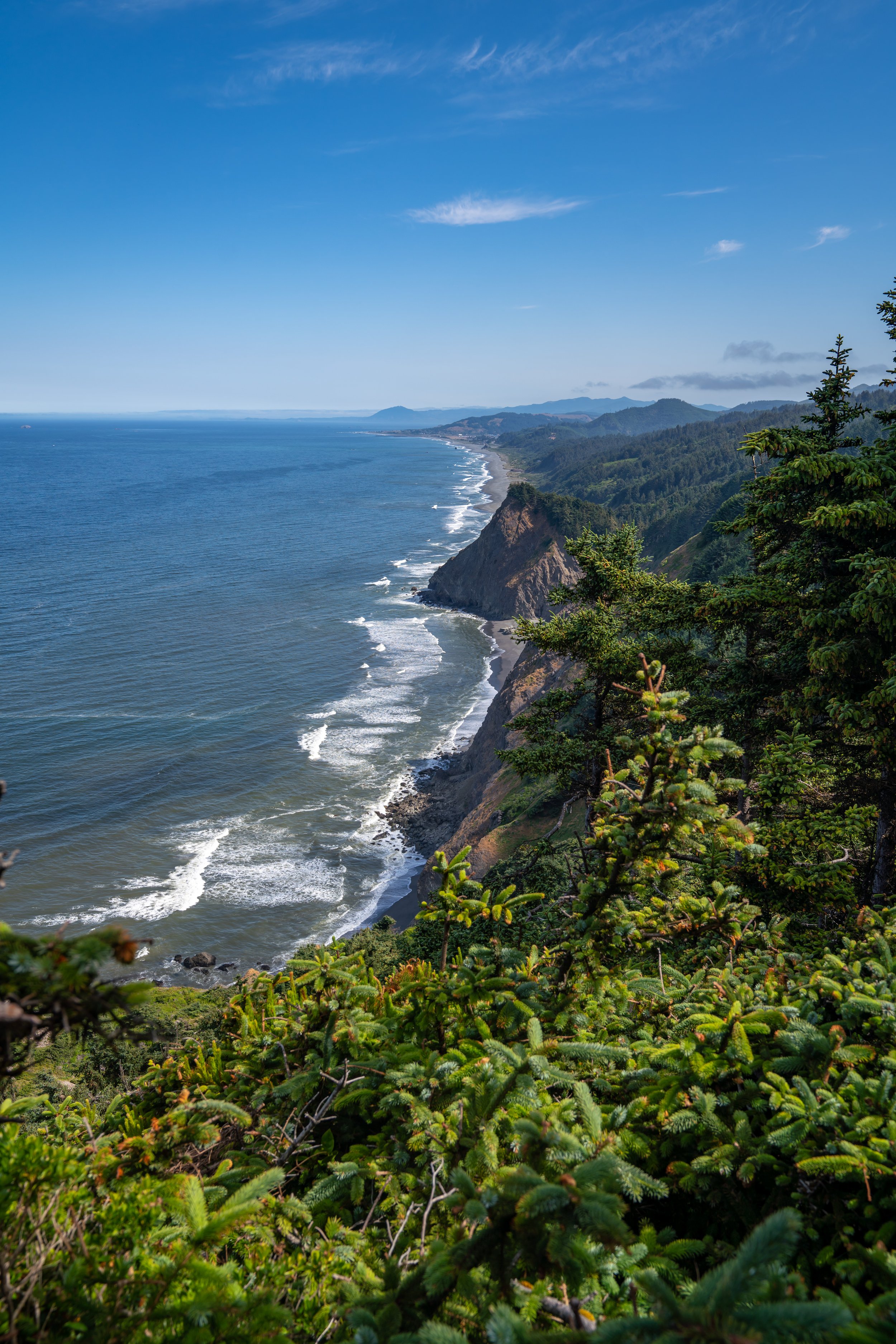
With that in mind, I personally only recommend hiking the Lower Cascade Head at sunset, as this is undoubtedly the best time to enjoy the trail, which is exactly when the photo below was taken.
All this to say, the Lower Cascade Head is easily one of my favorite things to do on the Oregon Coast, and it’s truly a secret that simply cannot compare to the popularity of the nearby God’s Thumb Trail in Lincoln City.
Lower Cascade Head Trailhead Parking
Parking for the Lower Cascade Head Trail is located in the same parking lot as the Knight County Park.
From here, the real trailhead is accessible on foot only, as parking on Savage Road is prohibited for at least the last 0.5 miles (0.8 km) leading up to the start of the trail.
Google Maps Directions: Lower Cascade Head Trailhead
Hiking Checklist - Oregon Coast
Black bears can be found up and down the Oregon Coast, but hiking with or without bear spray is truly up to your own discretion and comfort level when adventuring in black bear territory.
Furthermore, here is a complete list of must-have things that you will want for any hike on the Oregon Coast.
Hiking the Lower Cascade Head Trail
This is the start of the Lower Cascade Head Trail beginning from Knight County Park.
From here, the trail parallels and crosses the road a number of times until it eventually reaches the true Cascade Head Trail, located about 0.5 miles (0.8 km) away.
Cascade Head Trailhead
The Cascade Head Trail will begin on the right-hand side of the road and will start climbing uphill immediately after the trailhead.
You may notice small trail markers, like the ones on the trees below.
Over the course of the hike, the Lower Cascade Head Trail crosses numerous bridges, which I think make great mental checkpoints if you plan on hiking back in the dark after sunset.
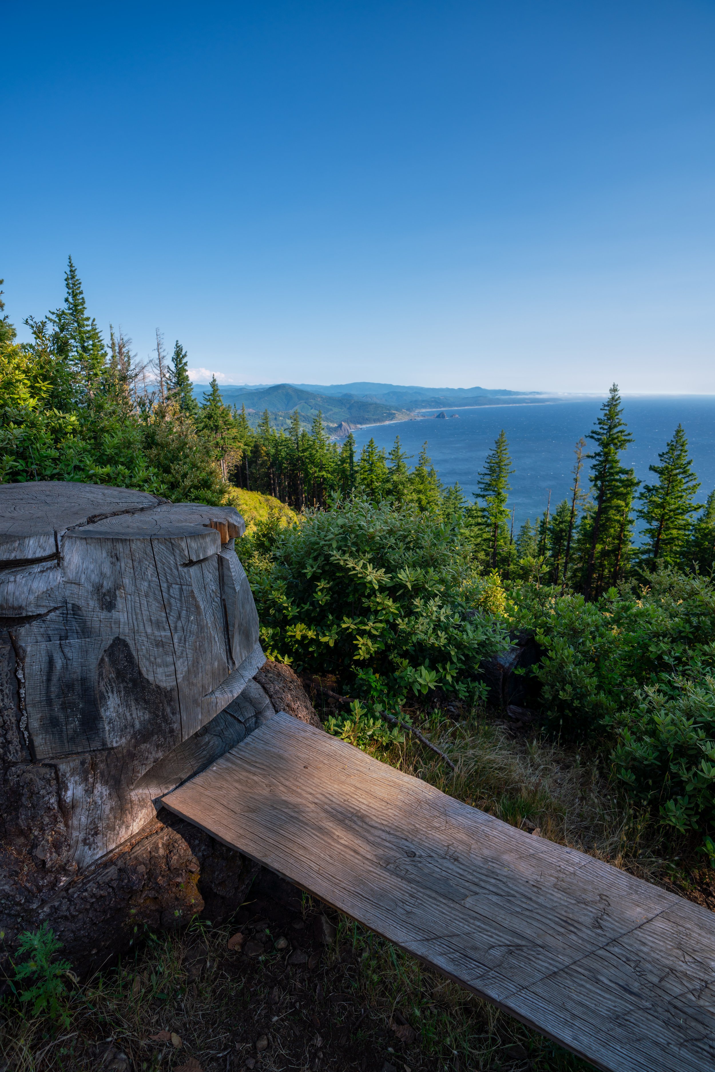
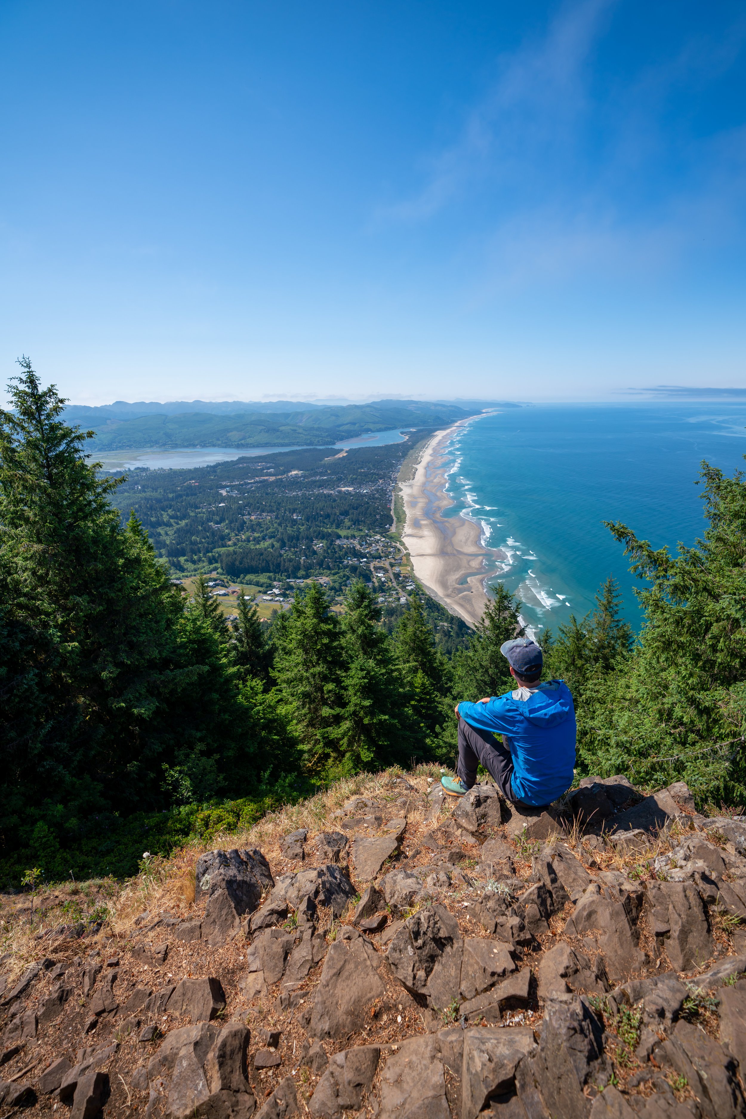
After about 1.3 miles (2.1 km), the Lower Cascade Head Trail breaks out of the trees, where the views only get better and better the higher you go!
Then, the trail will make a hard right turn up the Cascade Head, gaining about 400 ft. (122 m) until the most popular turnaround point for those only hiking the Lower Cascade Head.
Lower Cascade Head
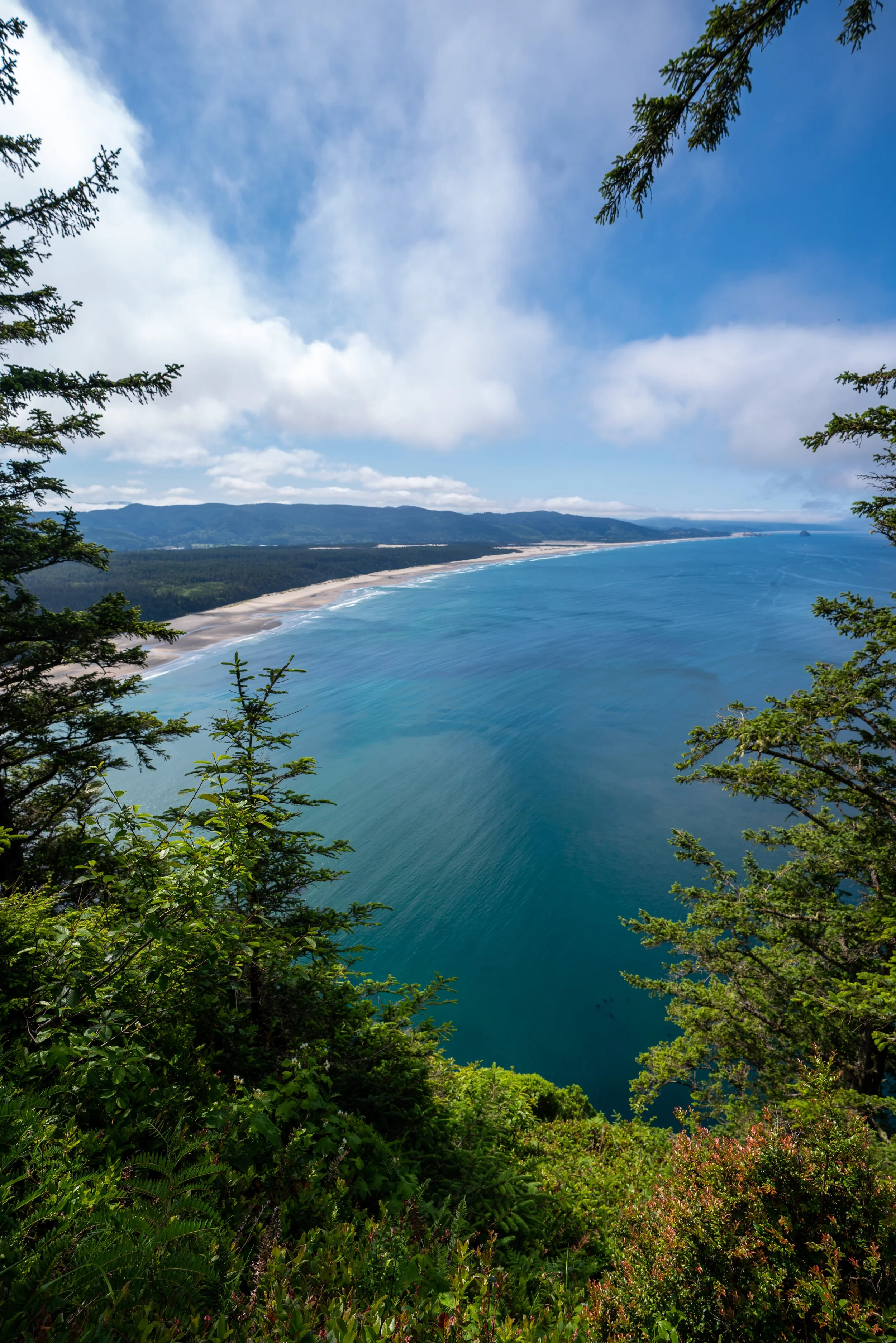
As you move up toward the top of the Lower Cascade Head, the trail is more and more likely to get socked in by the clouds, as opposed to the neighboring God’s Thumb Trail, which is much lower.
Being the case, I decided to hike back down below the clouds, which ended up being one of the best sunsets I’ve seen along the Oregon Coast!
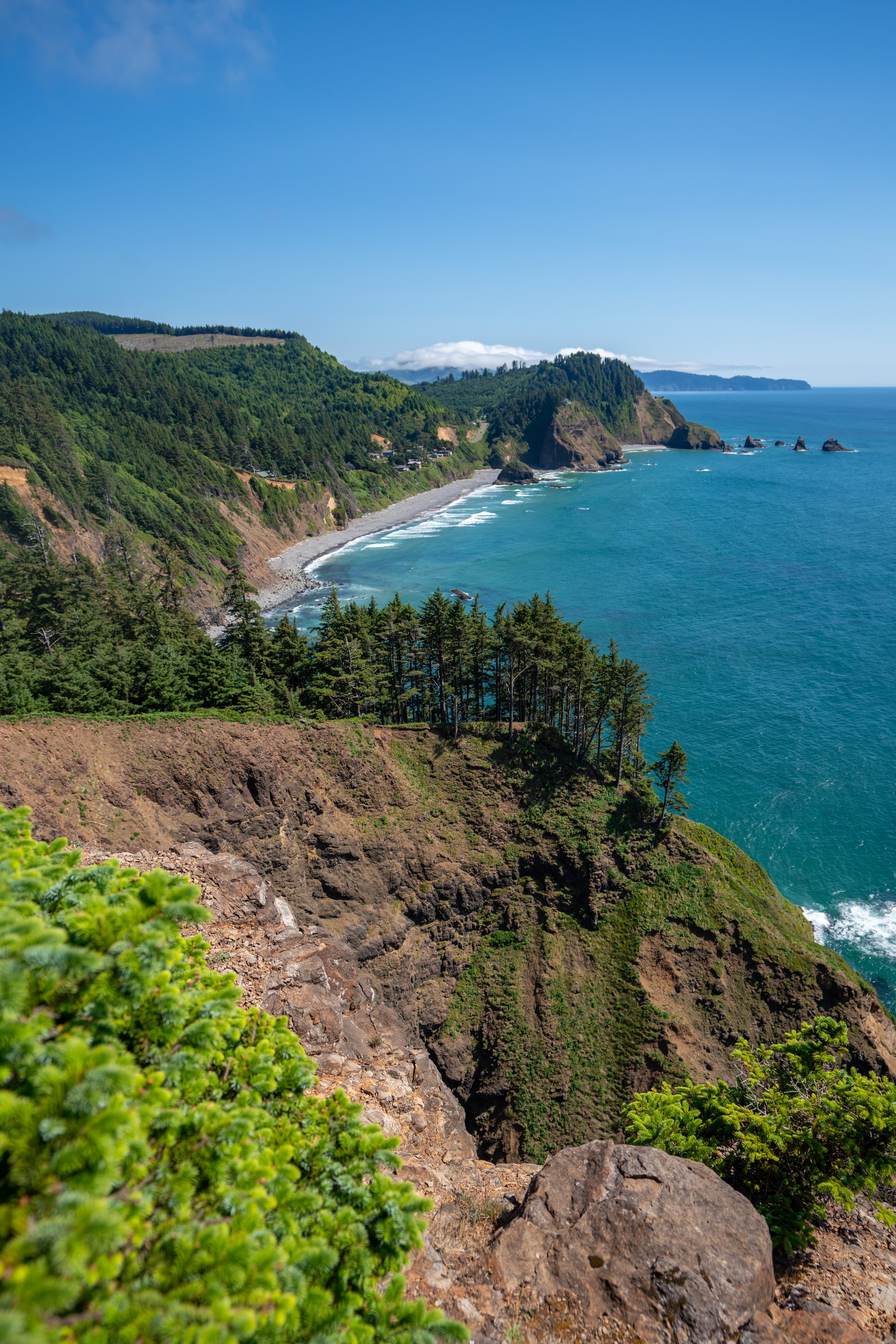
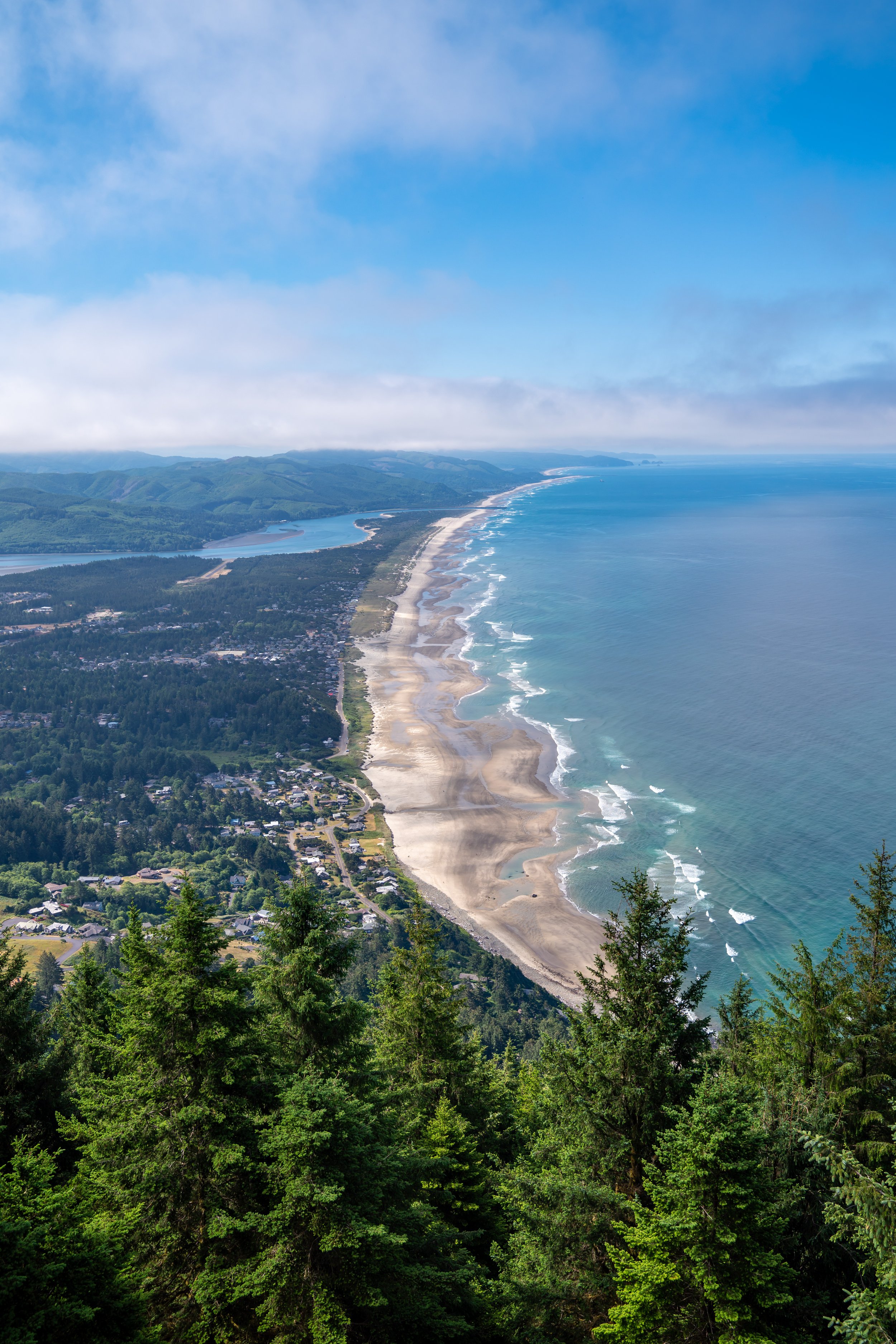
This iconic view to the south looks directly at God’s Thumb and Lincoln City just beyond.


