Hiking the Doe Mountain Trail in Sedona, Arizona
Distance (Doe Mountain): 1.5 miles / 2.4 km
Distance (Doe Mountain Loop): 1.9 miles / 3.1 km
The Doe Mountain Trail is a local favorite in Sedona, Arizona, because it is often seen as one of the best all-around sunrise and sunset hikes in Sedona—much like the nearby Devil’s Bridge Trail!
This is because the top of Doe Mountain isn’t a traditional peak, but rather a 1.9-mile (3.1 km) loop trail around a flat-topped mesa, meaning there’s no shortage of beautiful viewpoints and places to enjoy the sunrise and sunset from all directions!
For this reason, I highly recommend hiking up Doe Mountain with the intention of exploring some or all of the Doe Mountain Loop Trail, because exploring the summit is, without a doubt, one of the best ways to find a quiet, secluded place to enjoy golden hour—away from other groups who only tend to hike only as far as the Doe Mountain Overlook.
Doe Mountain Trailhead Parking
Parking for the Doe Mountain Trail is located in a small paved lot off Boynton Pass Road, in a shared parking area that serves both Doe Mountain and the Bear Mountain Trail across the road.
Before arriving, be aware that the most trailheads in Sedona are considered U.S. Fee Areas, meaning that hikers are required to pay to park or leave a valid federal recreation pass—like the ones commonly used for National Park entry—in the dash of your vehicle.
Google Maps Directions: Doe Mountain Trailhead
Southwest Hiking Checklist
Here is a complete list of must-have things that you will want for any hike in the Southwest U.S.
Hiking the Doe Mountain Trail
The Doe Mountain Trail begins climbing right from the start of the hike, gaining roughly 420 ft. (128 m) over 7 to 9 switchbacks, depending on how you count, from the trailhead to the beginning of the Doe Mountain Loop Trail at the top.
North Doe Mountain-Aerie Junction
After just 0.1 miles (0.2 km), the Doe Mountain Trail splits, then immediately splits again at another junction with the Aerie Trail, with which it shares the next short segment.
Here, go right at this first junction.
South Doe Mountain-Aerie Junction
At this second Aerie Trail junction, go left to continue up the Doe Mountain Trail.
After the Aerie Trail, there are no more splits on the switchbacks that ascend Doe Mountain.
What is the Best Time of Day to Hike Doe Mountain?
I’ve been fortunate over the years to hike the Doe Mountain Trail a number of times—both at sunrise and sunset—and my personal recommendation leans toward sunset in terms of what I think is better.
I say this because the way the adjacent Bear Mountain lights up at sunset is much prettier than sunrise, as there are no nearby sandstone formations on the east side of the peak that create the same effect at sunrise.
This switchback to the west, along with the next one that follows, is one of the two longest on the Doe Mountain Trail, which both make for a nice sign that you’re getting near the top of the peak!
These steep, exposed areas are about as challenging as the Doe Mountain Trail gets.
After this next switchback, the top of Doe Mountain and the Doe Mountain Loop Trail are only 0.25 miles (0.4 km) away.
Just before the summit, the Doe Mountain Trail climbs this steep section, which is why I previously mentioned that it entirely depends on what you count as a switchback—as some feel very subjective.
These final sections just below the top are the steepest parts of the entire Doe Mountain Trail.
Doe Mountain-Doe Mountain Loop Junction
At the top of Doe Mountain, the trail splits in three different directions.
First, the Doe Mountain Trail continues straight to the other side of Doe Mountain, which is where most hikers go to what’s known as the Doe Mountain Overlook. Second, this junction marks the beginning of the Doe Mountain Loop Trail, which heads both right and left (north and south) from the three-way split.
That said, the Doe Mountain Overlook is truly an arbitrary viewpoint, as the entire 1.9-mile (3.1 km) Doe Mountain Loop Trail around the summit has countless better overlooks in all different directions. It’s just that the Doe Mountain Trail continuing straight is a great way to cut across to the east side of the summit and the loop—which is what I recommend if you’re hiking up the trail for sunrise.
This is the Doe Mountain Trail heading straight from the three-way junction to the overlook.
Doe Mountain Overlook (Loop Junction)
The Doe Mountain Overlook is located just 0.1 miles (0.2 km) from the first three-way intersection and marks the end of the Doe Mountain Trail.
That said, I highly recommend exploring the Doe Mountain Loop Trail in either direction, but if you’re hiking up for sunrise, my personal preference leans toward the viewpoints to the right (south) of the junction.
Doe Mountain Loop Trail (South Loop)
Distance: 1.2 miles / 1.9 km
This is the Doe Mountain Loop Trail, by going right (south) from the Doe Mountain Overlook above — which, again, is my preferred direction to hike for the best sunrise viewpoints shortly ahead!
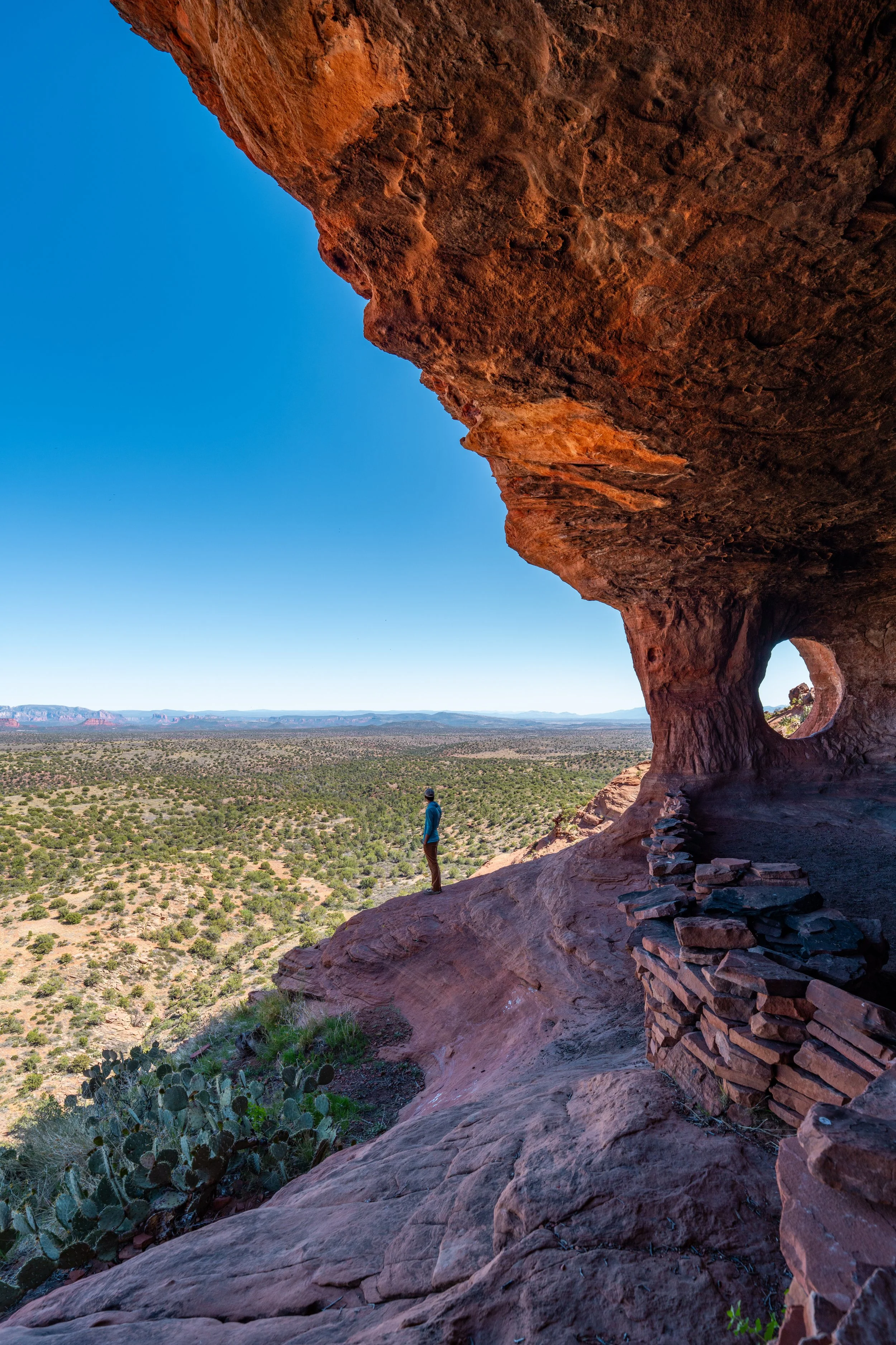
Truly, anywhere on these eastern ledges can make for a great place to catch sunrise, but the more exposed areas just ahead are my favorite!
These ledges, just past the Doe Mountain Overlook, are where I like to hike up to for sunrise, but even beyond these areas, there are countless places along the South Doe Mountain Loop to enjoy sunrise as it makes its way around.
To me, Cockscomb Peak in the distance always looks like a volcano from this angle on Doe Mountain.
As another reminder, don’t forget to hike with a good sun shirt, which will certainly be useful here on the Doe Mountain Loop Trail, as well as other day hikes across Sedona.
This is where the South Doe Mountain Loop Trail begins to turn back toward the main trail.
When it comes to catching the sunset on Doe Mountain, these areas on the southeast side of the peak are my favorite, because of how the sun lights up the rest of Doe Mountain and Bear Mountain across the road!
Doe Mountain Loop-Doe Mountain Junction
This is the same junction from earlier in this article, where the Doe Mountain Trail first met at the Doe Mountain Loop Trail.
That said, go left to return to the trailhead; go right to return to the Doe Mountain Overlook; or go straight to finish hiking the remaining 0.7 miles (1.1 km) around the North Doe Mountain Loop Trail.
Doe Mountain Loop Trail (North Loop)
Distance: 0.7 miles / 1.1 km
After the original three-way intersection, I continued straight to begin the North Doe Mountain Loop Trail, which is about 0.5 miles (0.8 km) shorter than the South Loop.
I generally don’t see the North Doe Mountain Loop as a great place to catch the sunrise, but it does have my second-favorite spot on Doe Mountain to catch the sunset, which is located right around this first sharp bend in the trail to the east.
Even though I said my favorite place to watch the sunset is the first point on the North Loop, anywhere along these ledges can make for a great place to find your own quiet, secluded spot away from other groups.
This is where the North Doe Mountain Loop Trail turns back to the south to complete the loop, and it’s really the only short part of the entire 1.9-mile (3.1 km) loop where I don’t think there’s a great place to catch the sunrise or sunset—or, at the very least, not better than the spots mentioned previously.
Doe Mountain Overlook
After a total of 1.9 miles (3.1 km) around both 'halves' of the loop and 0.75 miles (1.2 km) up the Doe Mountain Trail, I finally returned to the Doe Mountain Overlook, where the trail back down to the beginning can be found to the right.
All this to say, I hope this longer article and the details shared show that Doe Mountain is truly a golden hour hike—which is why I highly recommend coming prepared with a quality headlamp, as one will certainly be useful here and on many other day hikes across Sedona, like Bell Rock and the Cathedral Rock Trail.