Hiking the Bell Rock Trail in Sedona, Arizona
Distance: 1.2 miles / 1.9 km
The Bell Rock Trail in Sedona, Arizona, is without a doubt one of the best day hikes in the Red Rock Ranger District of the Coconino National Forest, and I say this because Bell Rock is one of the best and most beautiful sunset hikes in all of Sedona!
On top of this, I love the Bell Rock Trail because it can be as challenging or as easy an adventure as you’re looking to get into, depending on how high up Bell Rock you’re interested in climbing.
By this, I mean that Bell Rock can be as simple and straightforward as following the trail above the trees to a beautiful overlook above the surrounding landscape, but for those interested in climbing near or all the way to the summit, Bell Rock can range anywhere from a Class 2 to a Class 4 scramble.
That said, this post is only about the Bell Rock Trail to the top of the Bell Rock Climb just below the summit, which stays at a maximum of Class 2 difficulty—granted that you follow the correct route.
Bell Rock Trailhead Parking
Parking for the Bell Rock Trail is located in a small parking lot about 5.0 miles (8.0 km) south of Sedona, off Highway 179.
Before arriving, be aware that the most trailheads in Sedona are considered U.S. Fee Areas, meaning that hikers are required to pay to park or leave a valid federal recreation pass—like the ones commonly used for National Park entry—in the dash of your vehicle.
Google Maps Directions: Bell Rock Trailhead
Southwest Hiking Checklist
Here is a complete list of must-have things that you will want for any hike in the Southwest U.S.
Hiking the Bell Rock Trail
The Bell Rock Trail begins on a very easy, flat path that heads directly toward the base of the peak.
Bell Rock-Phone Junction
Shortly after beginning the hike, the Bell Rock Trail comes to the first of three different junctions—the first being the Phone Trail, which connects the Bell Rock Trail with the Baby Bell Rock Trail to the northeast.
That said, go straight here to continue on the main Bell Rock Trail.
Bell Rock-Bell Rock Pathway Junction
The second junction on the Bell Rock Trail is where the hike meets the Bell Rock Pathway, a popular bike trail that extends behind Bell Rock, Courthouse Butte, and beyond.
At this split, go left (straight) toward the wilderness boundary signs just ahead.
Munds Mountain Wilderness Boundary
As the fenced-in section comes to an end, the Bell Rock Trail enters the Munds Mountain Wilderness.
This is important to highlight because wilderness areas in the United States carry specific regulations, which most commonly applies to hikers when it comes to drones.
Yes, drones are banned here and in all wilderness areas across the country, and those caught flying drones may be cited at Bell Rock.
After about 0.25 miles (0.4 km), the Bell Rock Trail begins to climb the base of the peak, where it gets steeper and steeper the higher it ascends Bell Rock.
Bell Rock-Rector Connector Junction
The third and final time the Bell Rock Trail splits is with the connector that leads over to the Rector Trail, which passes between Bell Rock and the Courthouse Butte just to the east.
Here, go right, where the Bell Rock Trail will begin what’s known as the Bell Rock Climb, just a short distance ahead.
Bell Rock Climb
Once past the Rector Trail Connector, the Bell Rock Trail begins the Bell Rock Climb, which is a place where hikers can climb as little or as much as they’d like up Bell Rock.
However, be aware that the Bell Rock Climb is not the route that leads to the summit of Bell Rock, which I’ll discuss in more detail below.
These lower sections of the Bell Rock climb are marked fairly well, but this quickly changes as the trail ascends higher.
This is where the Bell Rock Trail becomes much less straightforward.
That said, the route shown here is the most common trail used to reach the beautiful upper ledge beneath the summit of Bell Rock, with the Class 4 route to the top located to the right (west) of where this photo was taken on the north side of the peak.
This is where the Class 2 scrambling truly begins.
I think it’s important to mention that, on these upper ledges of the Bell Rock Trail, the hike can become more challenging than a Class 2 scramble, but as long as you find and stay on the correct route, it shouldn’t become more difficult.
However, getting off-route is not uncommon—especially on the hike back down. Therefore, I do not recommend that all hikers proceed up the scramble shown here, as Bell Rock—like many Sedona trails—is deceptively steeper and more dangerous than it initially appears—not to mention that hikers have unfortunately lost their lives on the Bell Rock Trail before.
If you decide to continue up to the end of the Bell Rock Climb for sunset, be sure to pack a good headlamp for the hike back down.
I cannot overstate how important one is for staying on the correct route after sunset.
At the top of the ledge shown above, the Bell Rock Trail makes a hard turn to the right.
These narrow ledges are certainly not for all hikers, of all abilities!
After the long, narrow ledge, the Bell Rock Climb begins its final steep ascent to the end of the trail, just below the summit.
End of Bell Rock Trail
This is not the summit of Bell Rock, but it is the end of the Bell Rock Trail/ Climb, where most hikers scramble up the final section shown below, only to learn the hard way that the main trail does not lead to the summit without true climbing gear.
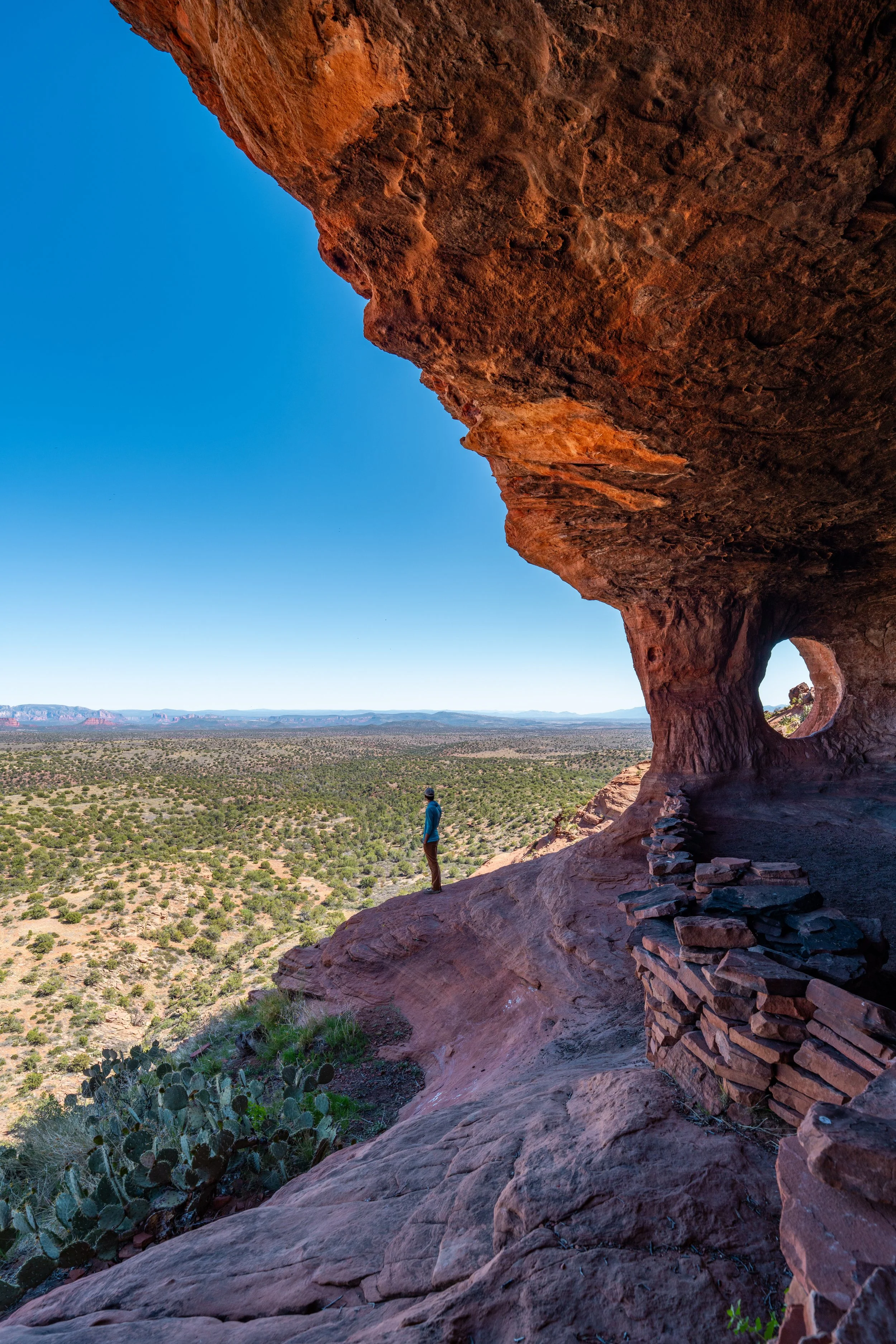
Nevertheless, this upper ledge is easily one of the best places to catch the sunset in all of Sedona because of the way the red rock on the Twin Buttes to the north and the cliffs to the east light up when the sun gets low!
Again, be sure to pack a good headlamp for such an adventure.
This is what the end of the Bell Rock Trail looks like if you decide to scramble up the final portion.
That said, there is a route to the summit of Bell Rock, but I must warn you that it is considerably more difficult and more dangerous than everything shown in this post.
To learn more, I highly recommend watching the video below. However, I do not recommend the hike to the summit unless you are familiar with Class 4 and 5 difficulty.