Hiking the Ossagon Trail in Prairie Creek Redwoods State Park, California
Distance: 4.2 miles / 6.8 km
Elevation Change (Highest Point to Ocean): 790 ft. (241 m)
The Ossagon Trail in Prairie Creek Redwoods State Park is a beautiful out-and-back day hike that connects Newton B. Drury Scenic Parkway with Gold Bluffs Beach and the Coastal Trail.
This is why the Ossagon Trail can most similarly be compared with the Damnation Creek Trail in Del Norte Coast Redwoods State Park, though the elevation change is not nearly as dramatic.
That said, the Ossagon Trail is an almost all-downhill hike from the scenic parkway to Gold Bluffs Beach, which is important to keep in mind for the nearly all-uphill hike on the way back!
However, I would not consider the Ossagon Trail to be a challenging adventure by any means, and if you take your time, the Ossagon Trail is best for enjoyed for its rapidly changing landscape, from towering Redwoods off the scenic parkway to Sitka Spruce and Red Alder as the trail nears the ocean, ultimately ending at the beautiful, wide-open, dramatic coastline along Gold Bluffs Beach!
Ossagon Trailhead Parking
Parking for the Ossagon Trail is located directly off Newton B. Drury Scenic Parkway in the Prairie Creek Redwoods, about 5.7 miles (9.2 km) north of the Prairie Creek Visitor Center.
That said, the Ossagon Trailhead is a joint parking area that serves both the Ossagon Trail and the Hope Creek–Ten Taypo Loop Trail across the road, which is why this parking area tends to be a little busier than most off the scenic parkway.
Google Maps Directions: Ossagon Trailhead
Hiking Checklist - Redwoods
Here is a complete list of must-have things that you will want for any hike in Redwood National & State Parks.
Hiking the Ossagon Trail
As previously mentioned, the Ossagon Trail mimics the Damnation Creek Trail in the Del Norte Coast Redwoods almost exactly, in that the trail begins on a gradual uphill path, but then follows a near-constant descent down to the ocean once at the top of the initial hill.
However, the main difference between the two is that the Ossagon Trail is a lot less significant, as there is only 790 ft. (241 m) of elevation change from the highest point to the beach, compared to 1,170 ft. (357 m) on the Damnation Creek Trail.
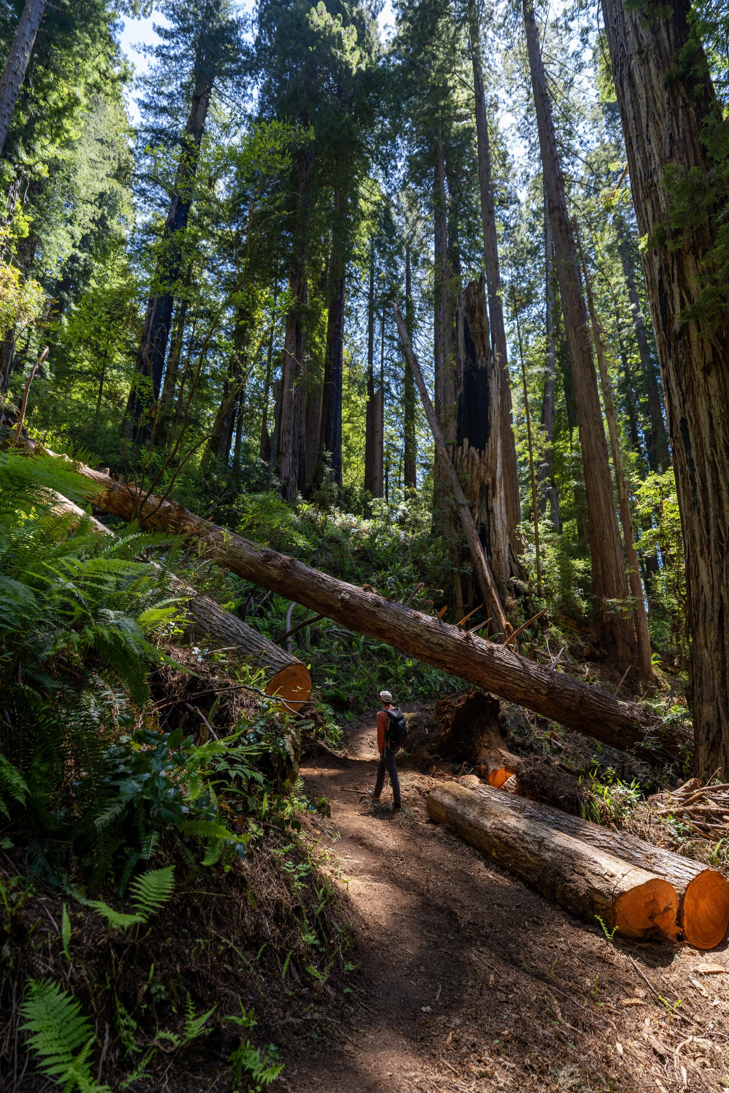
The initial uphill on the Ossagon Trail only climbs about 140 ft. (43 m) in the first 0.5 miles (0.8 km), which is not steep by any means.
To that point, all the notable elevation change is from the top of the ascent to the water, though it, again, is much more mild than the Damnation Creek Trail.
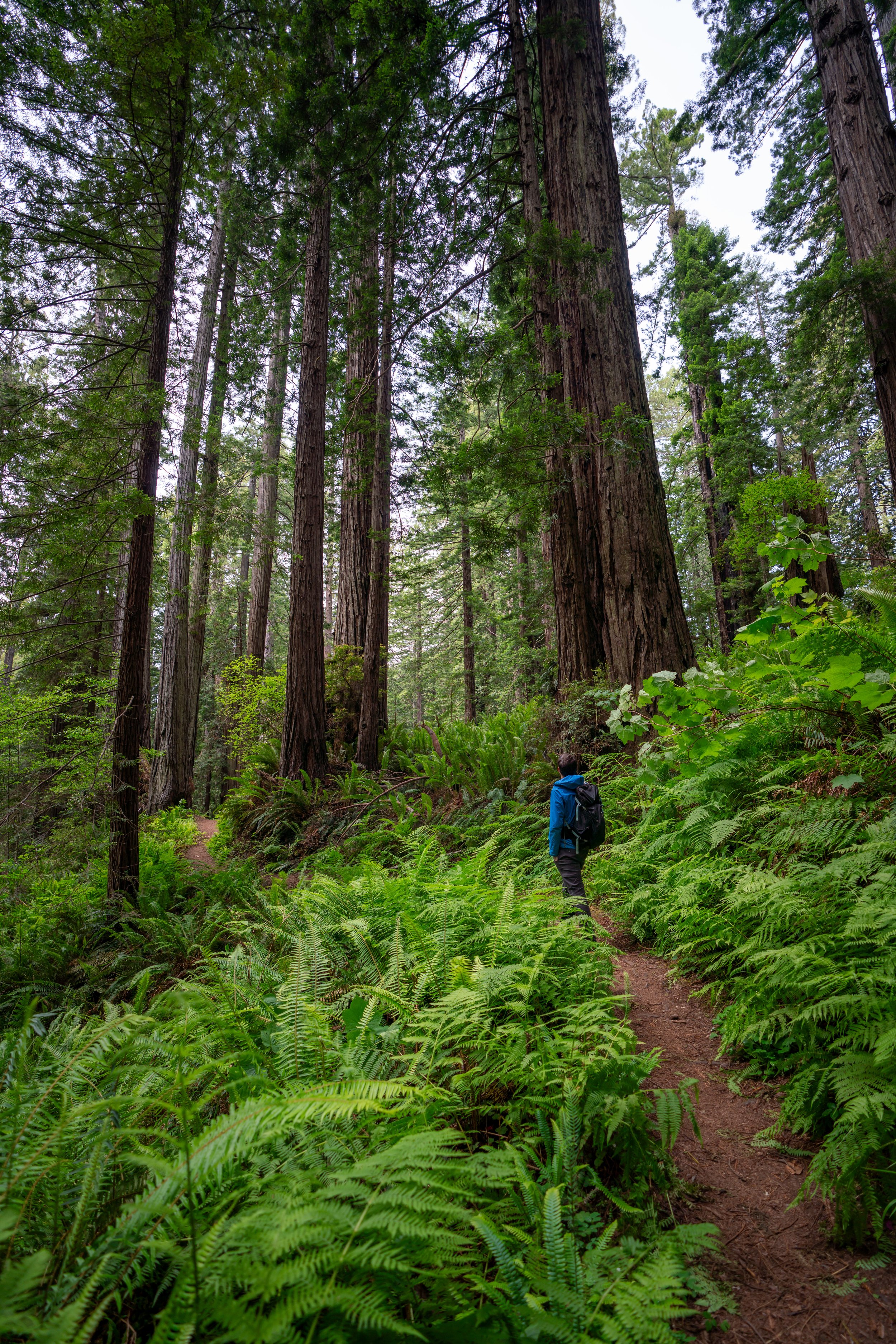
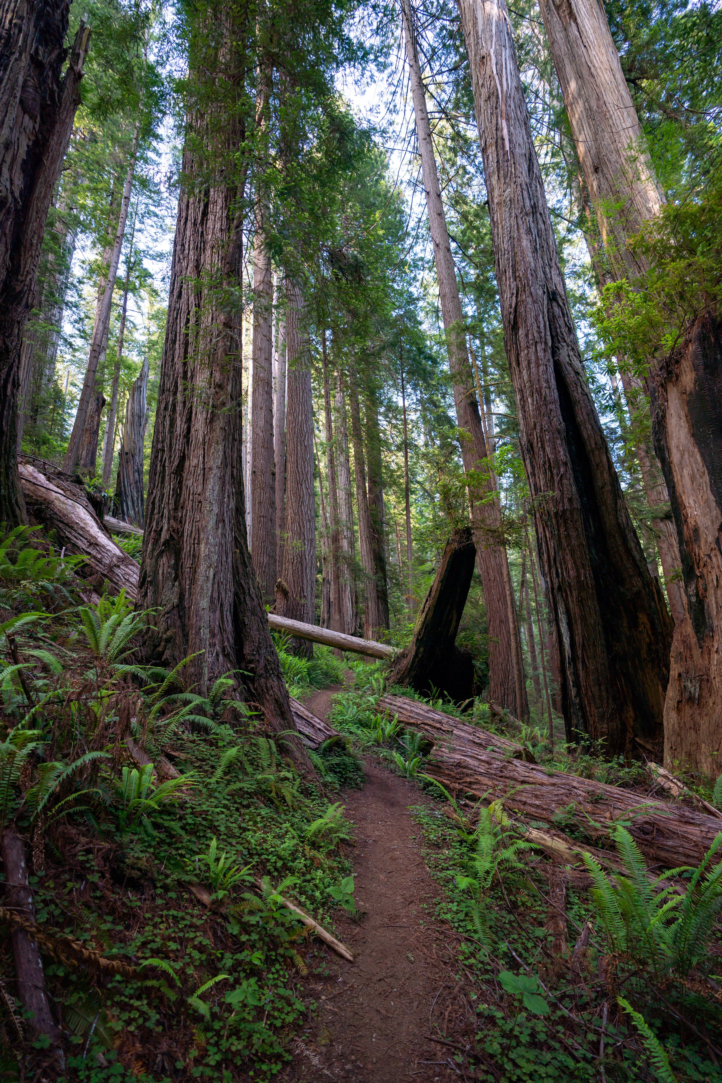
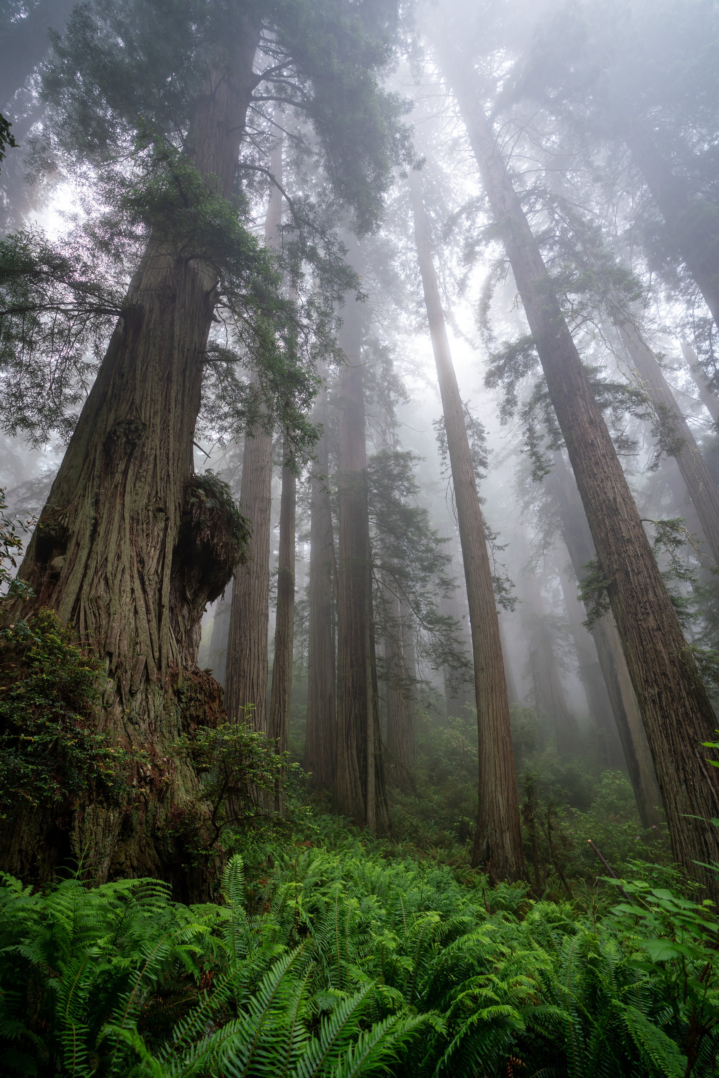
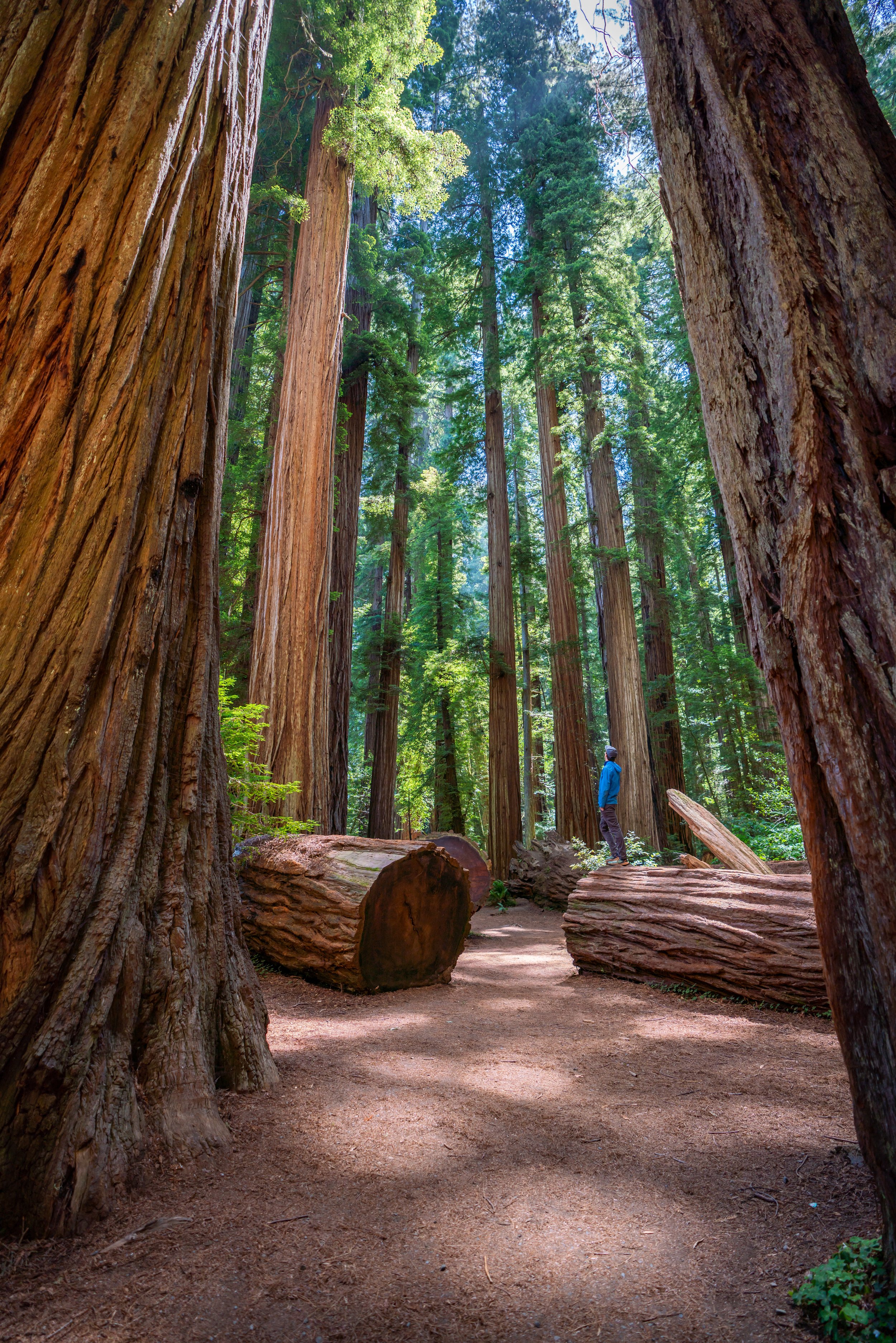
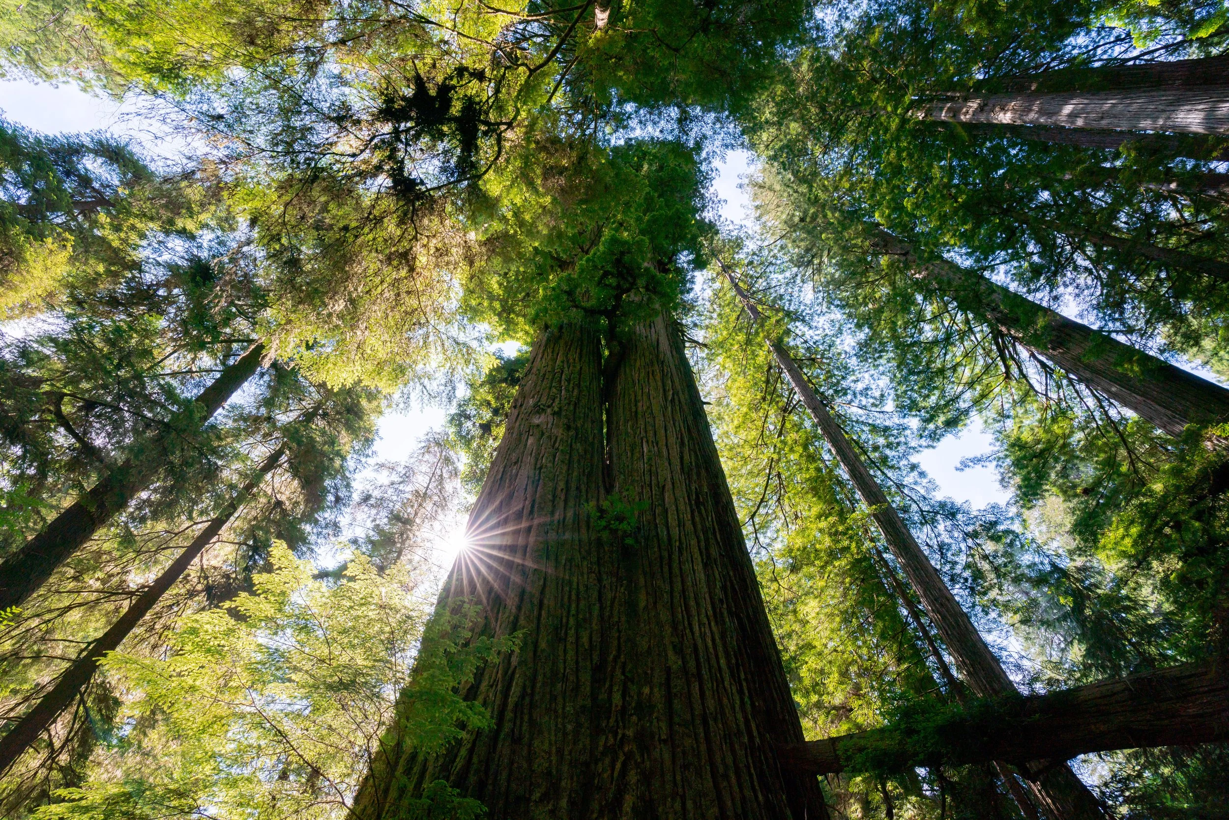
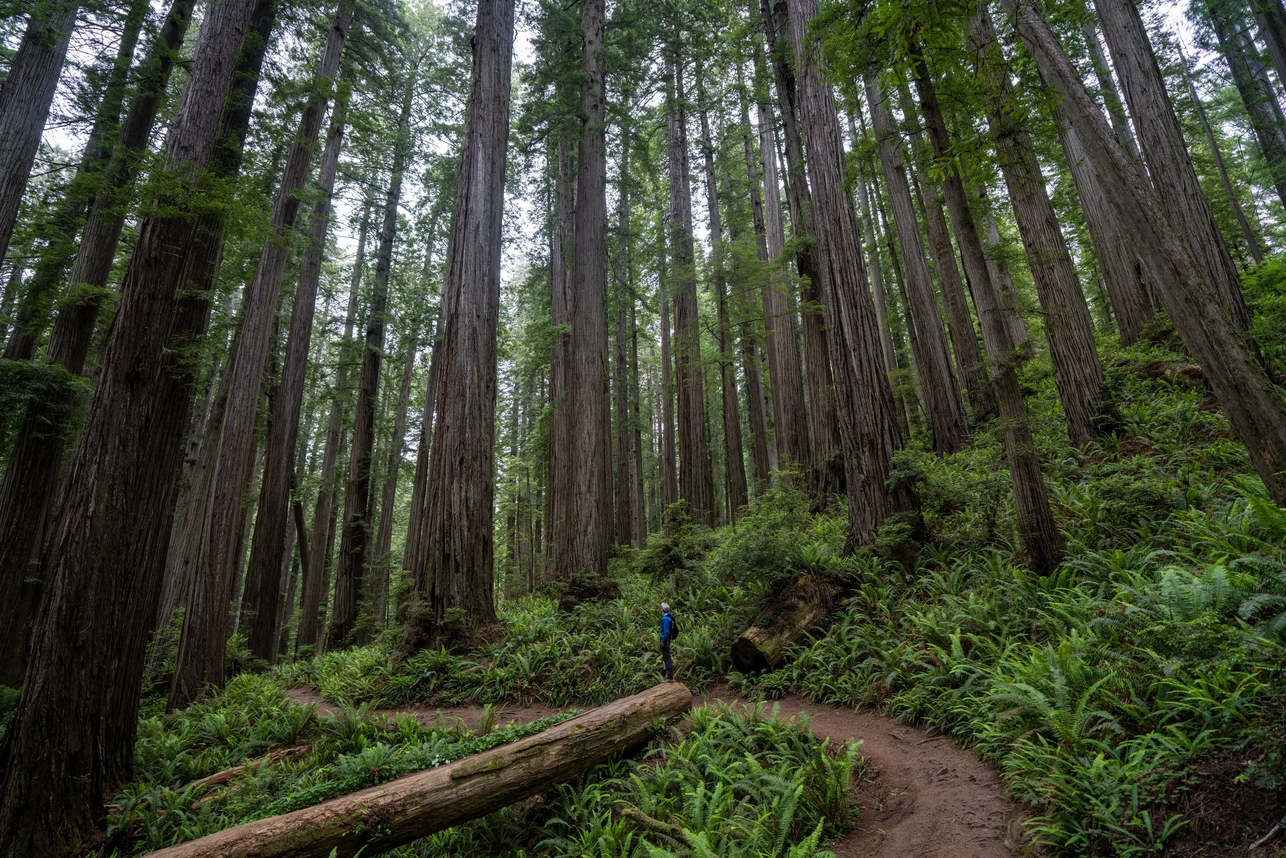
It’s important to keep in mind that almost all of the Coastal Redwoods on the Ossagon Trail are located within the first 0.6 miles (1.0 km) of the hike, which is hopefully helpful to know if you’re not interested in hiking the full 2.1-mile (3.4 km) trail to Gold Bluffs Beach.
If you were only interested in enjoying the giant Redwoods on the Ossagon Trail, this bench at the very beginning of the hike can make for a very quick and easy destination before turning back to the scenic parkway.
This is the top of the initial 0.5-mile (0.8 km) ascent, meaning the rest of the Ossagon Trail to Gold Bluffs Beach is all downhill from this point.
Leopard Lilies, also called Tiger Lilies, are certainly one of the most beautiful flowers in the California Redwoods and up the Oregon Coast!
This is where the Redwoods on the Ossagon Trail disappear almost entirely, giving way to Sitka Spruce and Red Alder for the rest of the hike to Gold Bluffs Beach.
Since much of the Ossagon Trail does not navigate its way through a tall overstory Redwood forest, there is quite a bit of exposure throughout the hike—especially along Gold Bluffs Beach at the very end.
This is why hiking in a hooded sun shirt can be very helpful for staying safe on the trail, particularly during the very sunny summer months.
At this point there are essentially no Redwoods to be found for the rest of the hike to Gold Bluffs Beach, as Sitka Spruce trees are much more tolerant of salty ocean air than Coastal Redwoods are.
In addition to a sun shirt, some hikers may want to bring trekking poles for the near-constant descent to Gold Bluffs Beach.
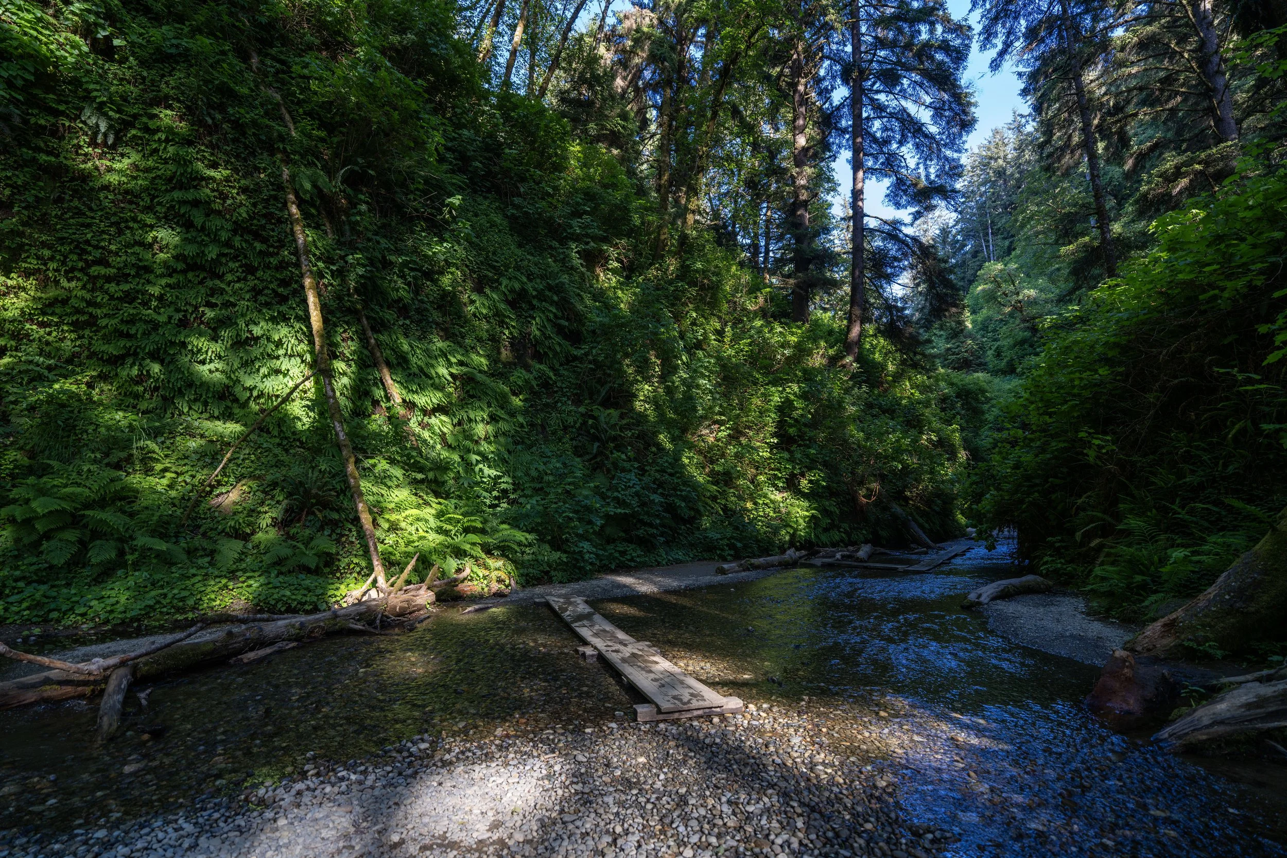
Ossagon Creek
This bridge across Ossagon Creek is a nice sign that there are only 0.7 miles (1.1 km) left before the trail reaches Gold Bluffs Beach.
According to the National Park Service, Salmonberries are considered edible, though the taste is quite different from a traditional Raspberry.
This is where Gold Bluffs Beach can be seen for the first time through the thinning Sitka Spruce trees!
The tsunami warning signs scattered throughout the Redwoods are always a nice sign that the beach is not far ahead!
When the Ossagon Trail finally breaks out of the overstory canopy for the first time, there are only 0.3 miles (0.5 km) left until the start of Gold Bluffs Beach.
Ossagon-Davison (Coastal) Junction
Shortly before the Ossagon Trail reaches Gold Bluffs Beach, the trail splits with the Davison Trail, which leads over to the West Ridge Trail.
That said, go straight (right) to continue on the Ossagon Trail to Gold Bluffs Beach, which is typically the much more obvious and popular path at this inconspicuous junction.
Gold Bluffs Beach
The very end of the Ossagon Trail is Gold Bluffs Beach, with the Coastal Trail running in either direction along the sand and the Fern Canyon Loop Trail located about 2.7 miles (4.3 km) to the south.
That said, be sure to turn back around toward the forest where the Ossagon Trail meets the sand, as this beach entrance can be hard to find again if you decide to hike north or south along the wide-open coastline!
Gold Bluffs Beach is, without a doubt, one of the best places to catch sunset in the Redwoods, but since the coastline can be much more easily accessed from Gold Bluffs Beach Road, I tend to recommend that over the Ossagon Trail.
However, if you weren’t able to secure an advanced reservation for Gold Bluffs Beach Road during the peak summer travel season, the Ossagon Trail is arguably the best option for hiking a not-too-difficult trail for sunset, but be sure to pack a good headlamp for the roughly 2.1-mile (3.4 km) hike back after dark.
Del Norte Coast Redwoods
Jedediah Smith Redwoods
Prairie Creek Redwoods