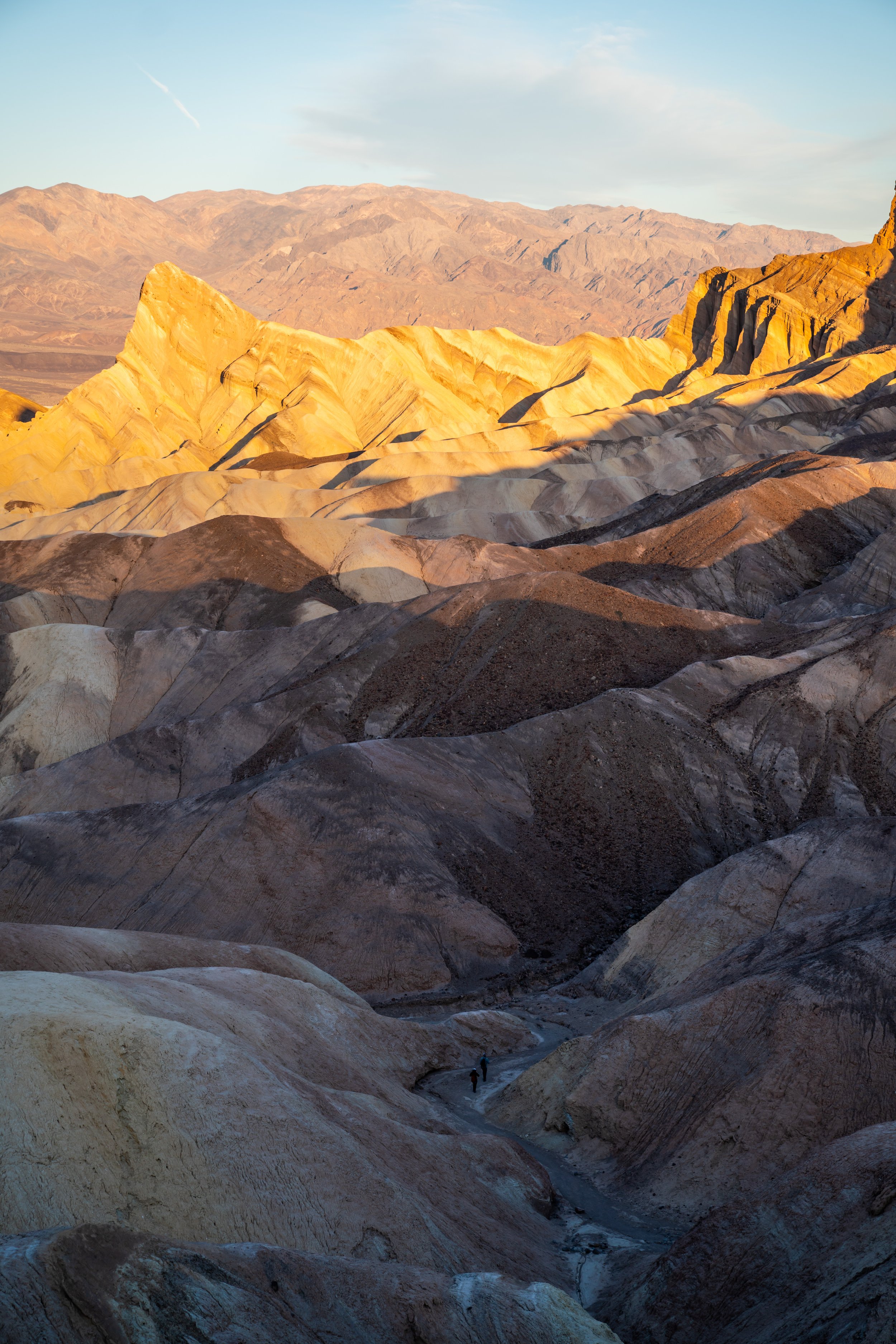
Hiking the Mosaic Canyon Trail in Death Valley National Park
Distance: 3.6 miles / 5.8 km
Renowned for the beautiful sedimentary rocks that line the canyon walls, the Mosaic Canyon Trail in Death Valley National Park is a fun, relatively easy adventure that is often seen as the sister trail to Grotto Canyon, just to the east.
However, Mosaic Canyon is, by far, more accessible for most people, as Grotto Canyon is notorious for being one of the more advanced day hikes in Death Valley.
This is to say that the Mosaic Canyon Trail is a great family-friendly adventure, and it’s one that I personally recommend hiking early in the morning to enjoy the best of the beautiful morning light on the patterned canyon walls.
Mosaic Canyon Trailhead Parking
Parking for the Mosaic Canyon Trailhead is located in a dirt parking lot just outside of Stovepipe Wells at the end of the 2.3-mile (3.7 km) Mosaic Canyon Road.
Most low-clearance vehicles should be able to make the drive to the trailhead if you take it slow.
Google Maps Directions: Mosaic Canyon Trailhead
Hiking Checklist - Death Valley
Here is a complete list of must-have things that you will want for any hike in Death Valley National Park.
Hiking the Mosaic Canyon Trail
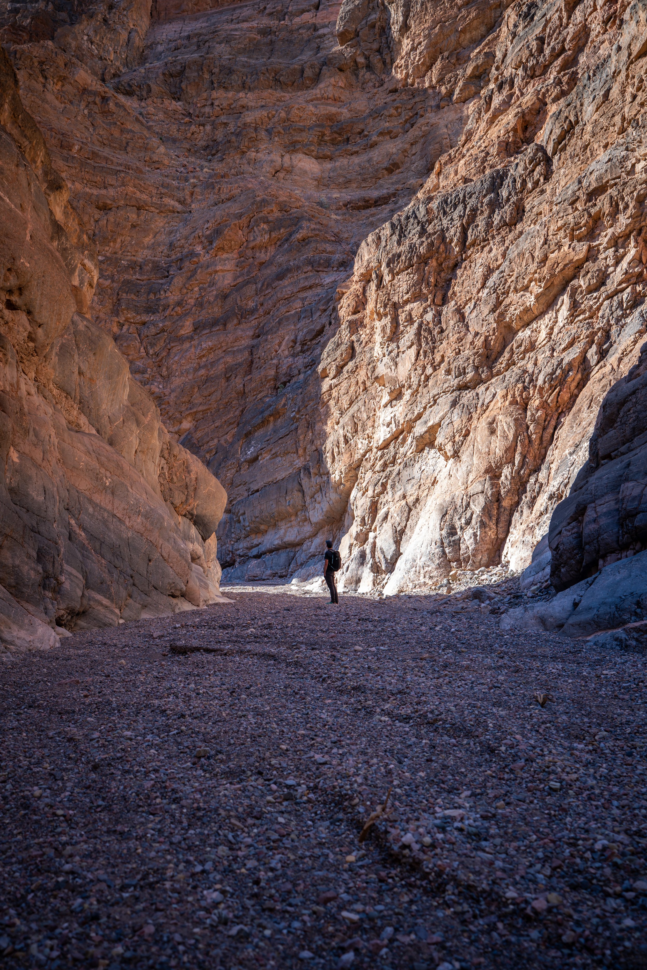
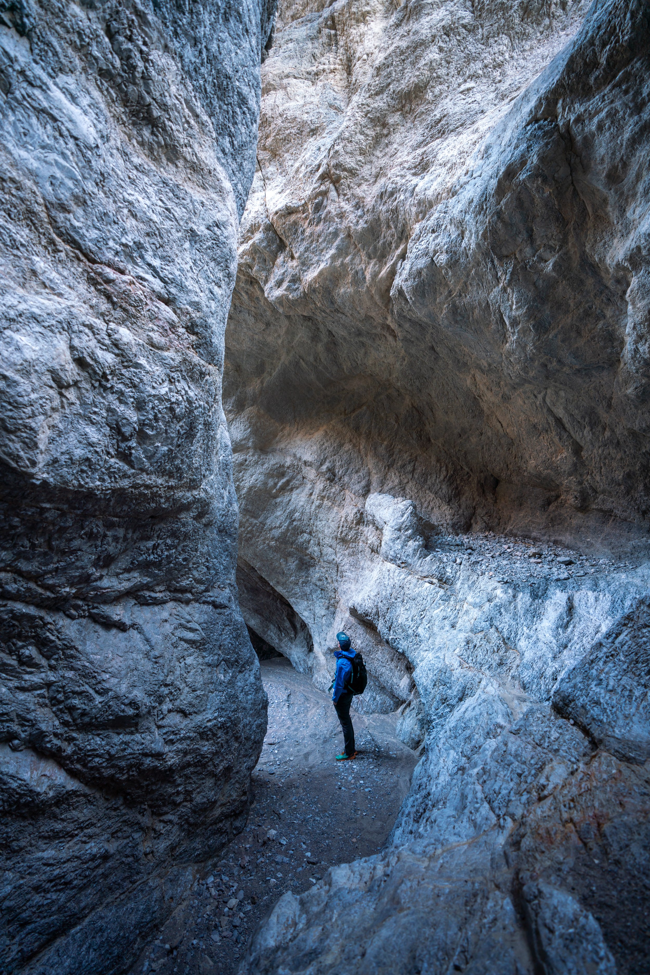
The Mosaic Canyon Trail begins in an open, dry wash, but the canyon walls quickly close in within the first 0.25 miles (0.4 km).
In my opinion, some of the most beautiful stretches of the canyon were within the first 0.5 miles (0.8 km) of the trailhead.
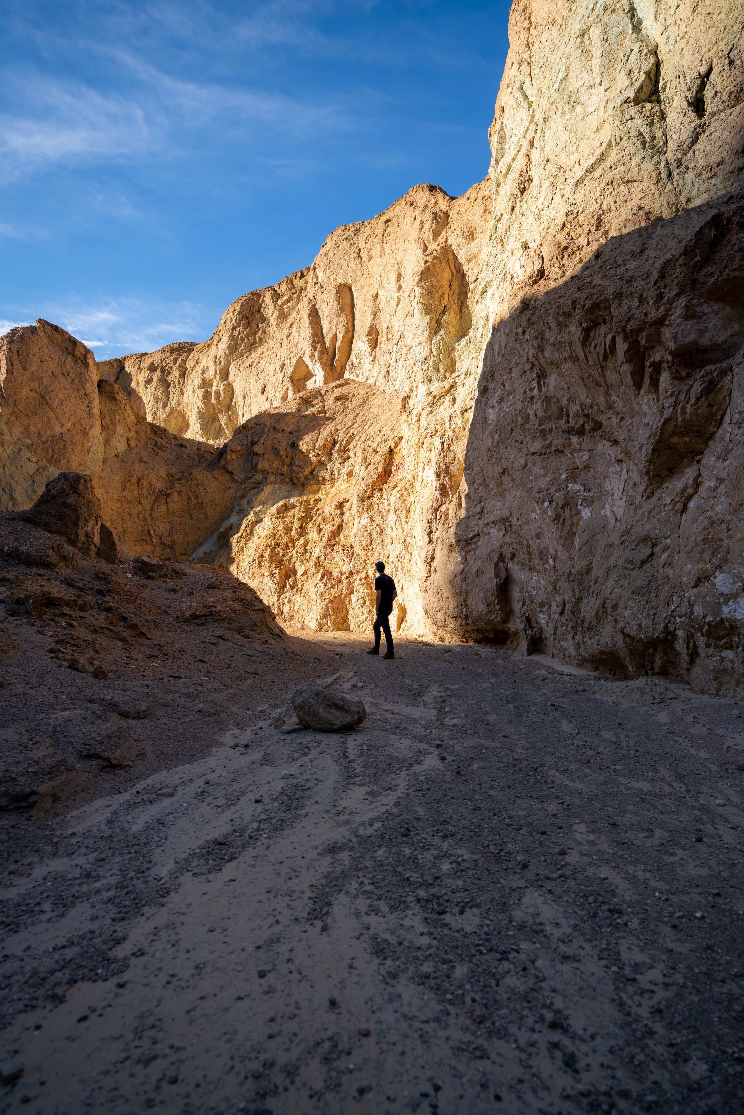
Toward the middle of the trail, Mosaic Canyon opens up on both sides for a short stretch before closing in again.
As you can see from the arrows on the ground, go left to climb around this boulder.
If you end up going right, the trail runs into rock wall where you’ll likely choose to go back around the other way.
In my opinion, this climb is the most difficult scramble on the entire hike.
Above the climb, you can go in either direction around the next boulder.
Both directions are shown below.
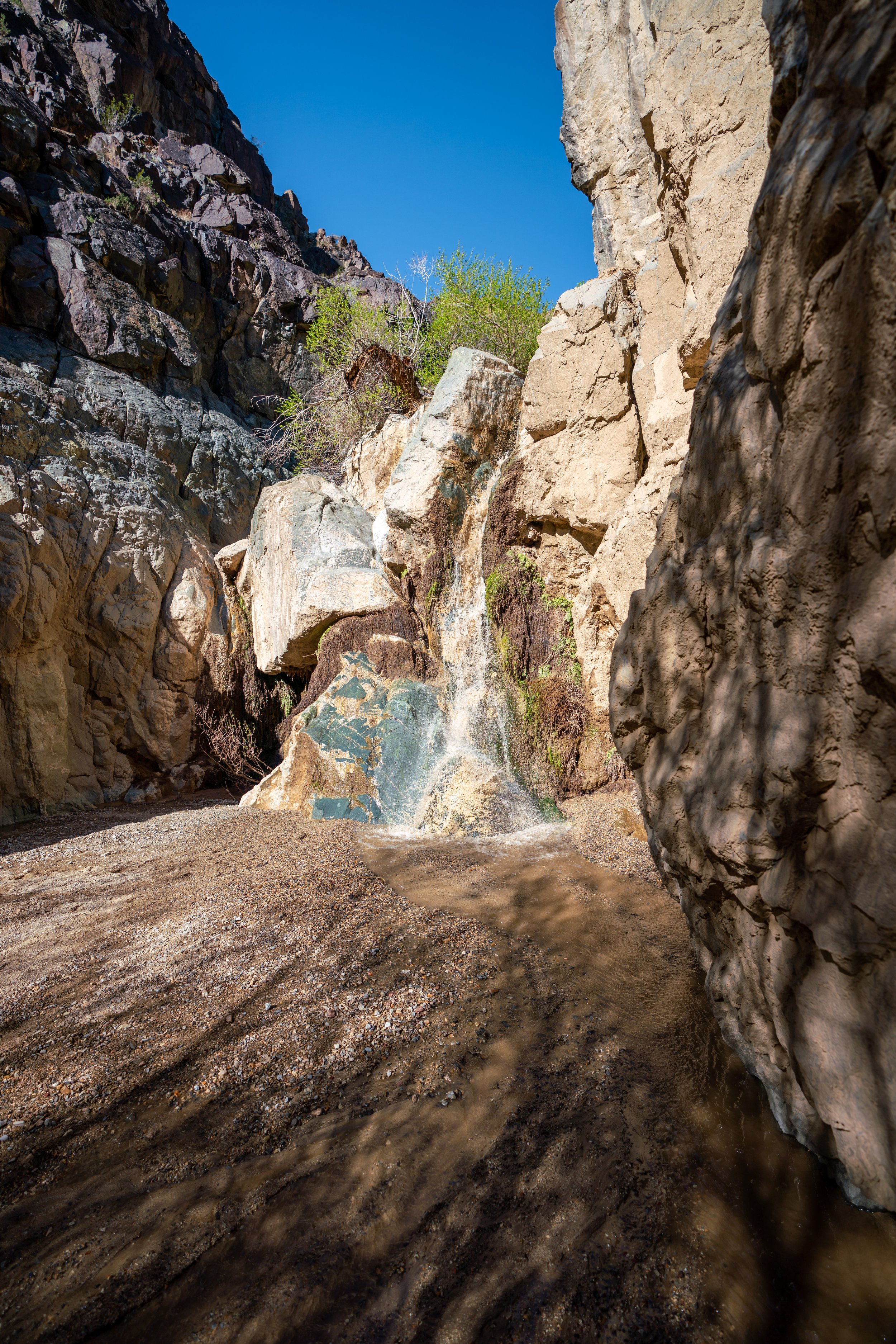
At about the 1.4-mile (2.3 km) mark, you’ll need to hike up and around the wash to the right in order to continue.
If you had continued straight, the wash runs into a very tall waterfall, which would easily require gear to climb.
These photos show the upper route that climbs up and around the waterfall chute.
At this point, head back do into the wash to continue further up the trail.
Go left around this part to take the easiest path.
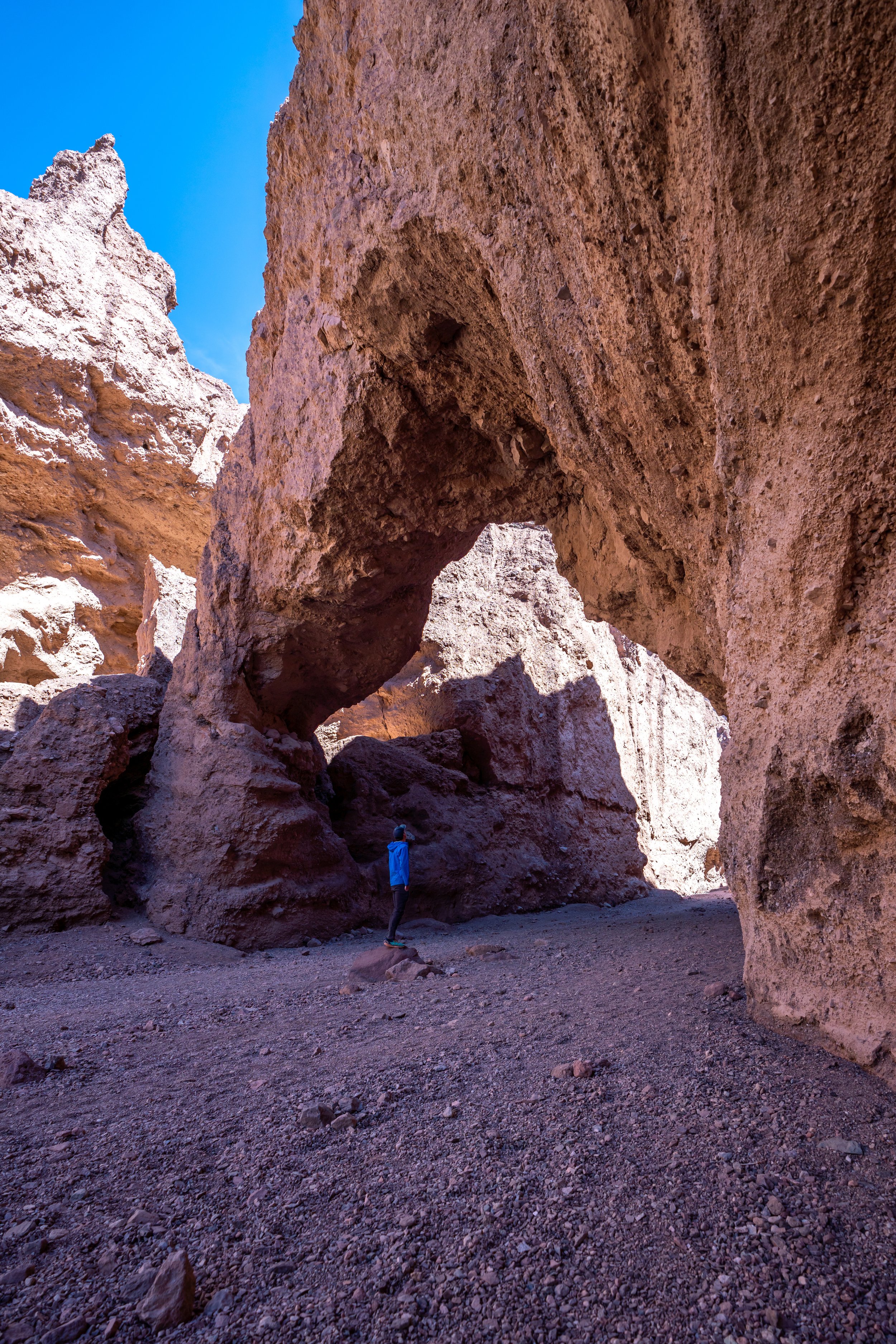
This dry waterfall chute is typically the end of the hike for most people. However, it is possible to continue further, but a hike like that would require a bit more preparation than what is shown here.
In the following photos, I took pictures of the route that heads even further up Mosaic Canyon.
Upper Mosaic Canyon
We saw one group hiking up and around the falls, but like I said, continuing past this area would require much more planning than this simple day hike.
Additionally, if you look on Google Satellite to the east of the canyon, you can see a trail that branches off of the main wash near the trailhead, which meets up with the same route from this area in the two photos below.
These two photos are the end of Mosaic Canyon but facing the opposite direction as the dry waterfall chute in the photo above.