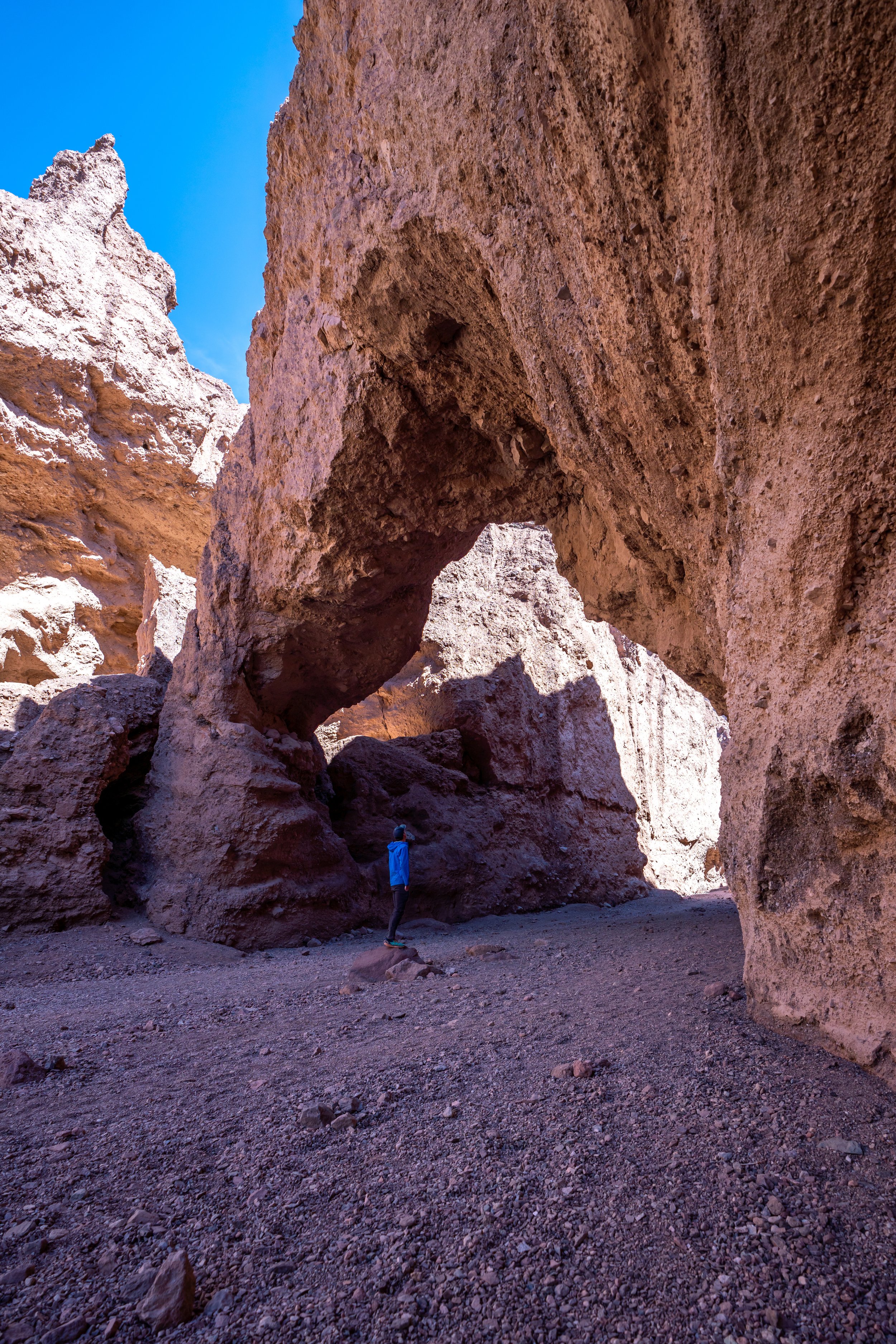
Hiking the Golden Canyon-Gower Gulch Loop Trail via Zabriskie Point in Death Valley National Park
Distance: 7.5 miles / 12.1 km
Both Golden Canyon and Gower Gulch in Death Valley National Park are two sister trails in the Black Mountains, just outside of Furnace Creek, that are commonly combined into one longer adventure—hence the name Golden Canyon-Gower Gulch Loop Trail.
That said, the Golden Canyon-Gower Gulch Loop is easily one of the best and most beautiful day hikes in Death Valley—especially when hiked later in the day, toward golden hour!
I say this because the Black Mountains, including the Red Cathedral, light up best in the late afternoon and evening light, as opposed to earlier in the day when these photos were taken.
In any case, the distance above reflects the total Golden Canyon-Gower Gulch Loop, including the hike up to the Red Cathedral. However, excluding the out-and-back Red Cathedral Trail, the Golden Canyon-Gower Gulch Loop Trail is only 6.5 miles (10.5 km) total.
Zabriskie Point Trailhead Parking
I prefer starting this hike at Zabriskie Point because the Golden Canyon-Gower Gulch Loop is best hiked shortly after sunrise. This way, you can watch the sunrise from Zabriskie Point and then continue with the hike from the same place.
Starting at sunrise also makes parking much easier, which can be competitive at both the Golden Canyon and Zabriskie Point Trailheads.
The photo on the left shows how crowded the parking lot was getting even before sunrise, and the Golden Canyon Trailhead can be just as busy by mid-morning.
Google Maps Directions: Zabriskie Point Trailhead
Hiking Checklist - Death Valley
Here is a complete list of must-have things that you will want for any hike in Death Valley National Park.
Hiking the Golden Canyon-Gower Gulch Loop Trail
The Golden Canyon-Gower Gulch Loop Trail could easily be hiked from Zabriskie Point, or the Golden Canyon Trailhead. However, for the reasons that I mentioned under parking, I prefer to hike it from this direction.
Also, starting the loop shortly after sunrise is one of the best ways to beat the sun!
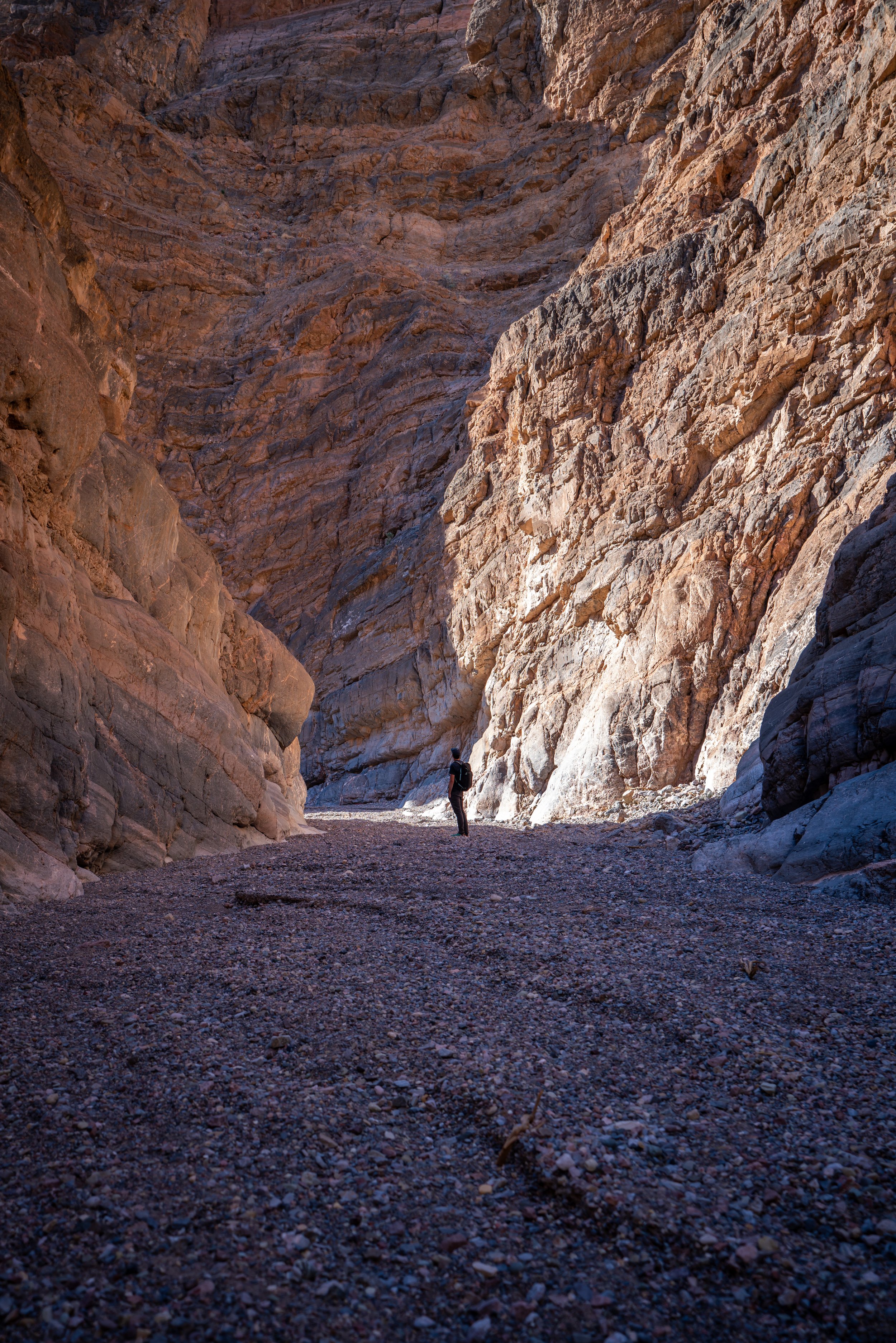
Initially, the Zabriskie Point Trail drops down into a typically dry wash for the first 0.5 miles (0.8 km) until the Zabriskie Point Junction.
In the photo below on the left, you can see people enjoying the sunrise up at Zabriskie Point.
Zabriskie Point Junction - (Golden Canyon-Gower Gulch Split)
At the Golden Canyon-Gower Gulch split, you can either take go up to the right to take the Golden Canyon Trail first or continue in the wash the hike Gower Gulch first.
I like to hike the Golden Canyon Trail first because there’s more ups and downs that are better hiked in the shade, compared to the relatively flat Gower Gulch.
Golden Canyon Trail
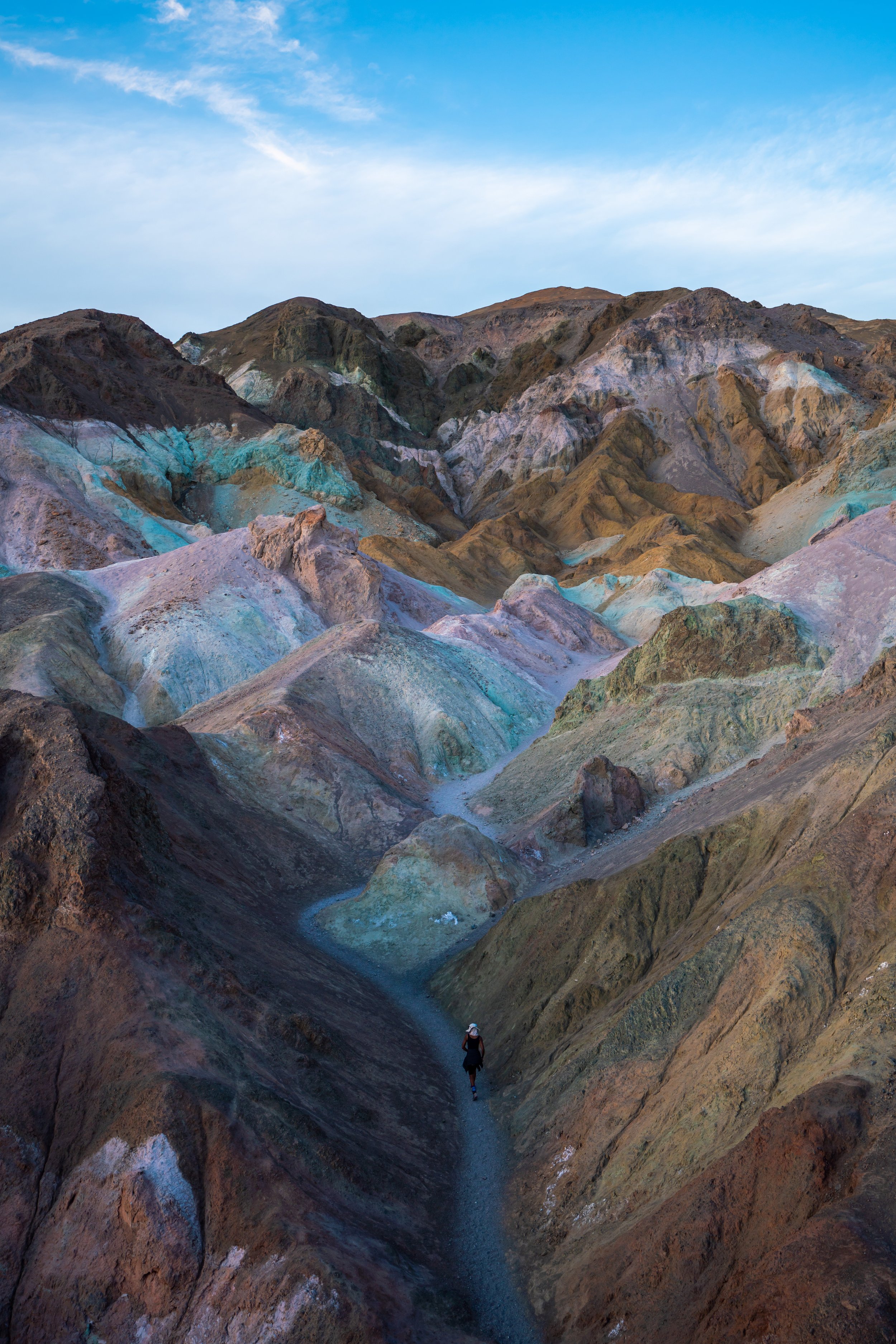
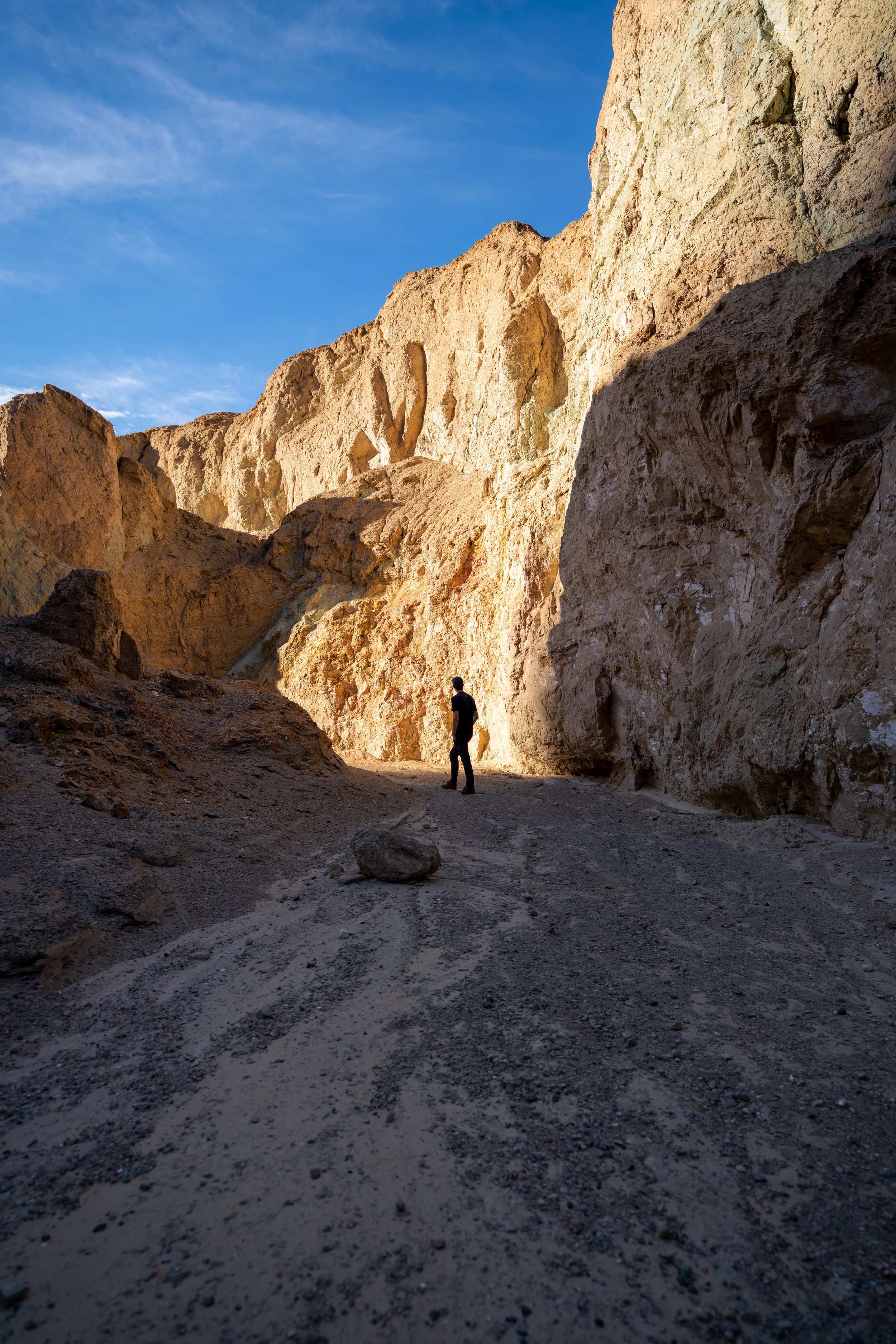
The Golden Canyon Trail is one of the best opportunities to get great photos on the entire loop trail.
In my opinion, the rolling ridges and panoramic views of the Panamint Range to the west cannot be beat compared to other areas on the loop.
Badlands Junction
The Badlands Junction is for the shorter and easier Zabriskie Point Loop, also called the Badlands Loop.
Go left to take the shorter loop trail back to Zabriskie Point or continue right on the Golden Canyon Trail to the Red Cathedral Trail.
Red Cathedral Junction
At the Red Cathedral Junction, you can either go left to continue on the Golden Canyon Trail or right for the Red Cathedral Trail.
The Red Cathedral is 0.5 miles (0.8 km) away from this junction, and the trail takes you to a beautiful amphitheater of red rock that is the cathedral.
Red Cathedral Trail
I branched off of the main loop to check out the beautiful Red Cathedral.
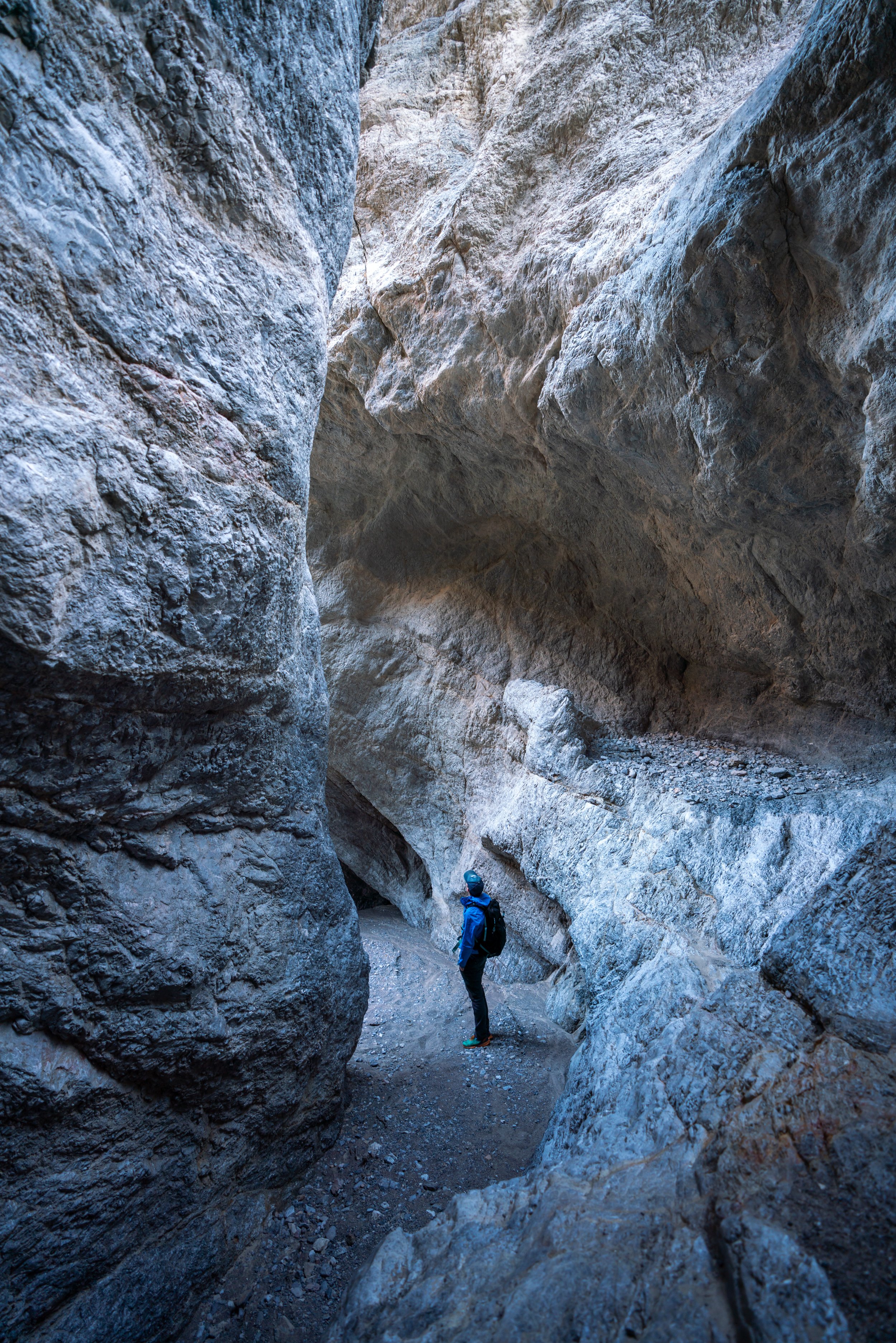
It’s much easier to squeeze through the rocks on the left than to try and hike around on the right.
Red Cathedral
I don’t think that this photo does a good job at showing how beautiful the Red Cathedral is when you stand beneath it and look up.
Someday, I plan to return at sunset because I can see how beautiful this red rock would light up in the evening sun.
Golden Canyon Trail - (Red Cathedral Junction)
From the Red Cathedral junction, there is only 1.0 mile (1.6 km) left to reach the Golden Canyon Trailhead.
This is also where you can expect to see more people on the Golden Canyon Trail because many people only hike from the trailhead to the Red Cathedral and back.
Golden Canyon Trailhead
Like Zabriskie Point, the Golden Canyon Trailhead is also a tight place to park.
When it’s mid-afternoon and the trail is at its busiest, cars can typically be seen lining the highway because the Golden Canyon is such a popular place to start.
Golden Canyon-Gower Gulch Connector Trail
Distance: 0.8 miles / 1.3 km
Honestly speaking, the connector trail between Golden Canyon and Gower Gulch has to be worst part of the trail.
It’s best to do this part while it’s still early enough and you can get shade from the ridges, but since I spent so long enjoying the sunrise at Zabriskie Point, this stretch ended up being the longest most exposed section in the hot March sun.
Gower Gulch Trail
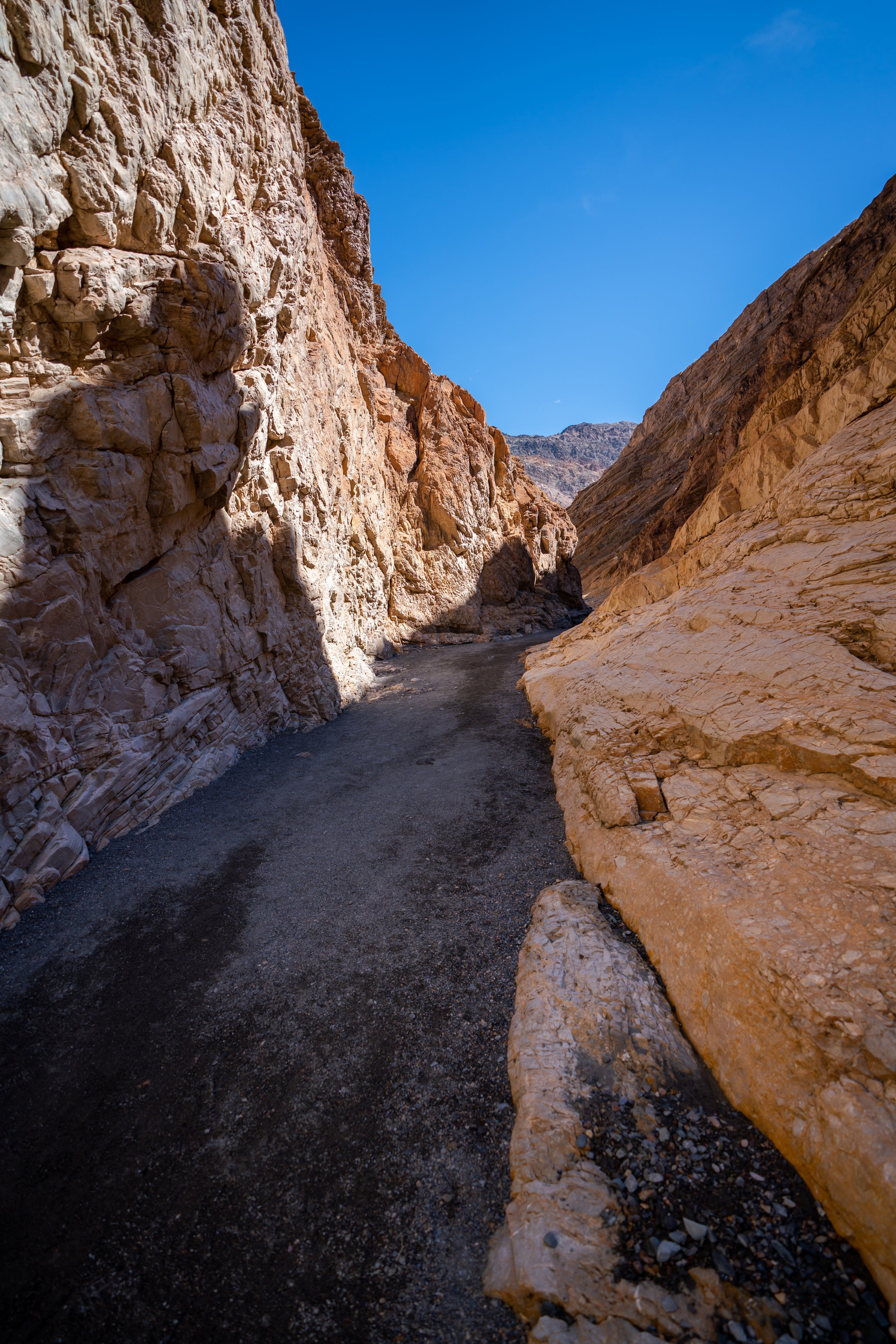
In my opinion, some of the best views of Gower Gulch are right in the beginning as you get off of the connector trail.
As the gulch nears the Badlands Loop and the Zabriskie Point Junction, the trail provides much less shade than other parts of the loop, which can make for a very hot, exposed hike depending on the time of the year.
Shortly after entering the gulch, there are a few small ledges to scramble up.
This is where the Gower Gulch Trail really started to lose all its shade by 10 a.m.
Gower Gulch Junction
At the Gower Gulch Junction, you can either go left to use the Badlands Loop to connect back to the Golden Canyon Trail, or continue straight until you reach the Zabriskie Point Junction where I initially branched off on the Golden Canyon Trail.
In these photos, I decided to continue straight in order to complete the Gower Gulch Trail instead of retracing my steps on the Zabriskie Point Trail, which I had originally started on.
Additionally, it’s slightly shorter to continue straight on the Gower Gulch Trail.
Zabriskie Point Junction
This is the same junction from earlier when I initially took the Golden Canyon Trail.
By the time I returned to the Zabriskie Point Trailhead, there were lines of cars all wanting my parking spot right in the front.


