Hiking the Mauna Loa Trail to Red Hill Cabin (Puʻu ʻUlaʻula) in Hawaiʻi Volcanoes National Park
Distance (Roundtrip to Puʻu ʻUlaʻula): 15.0 miles / 22.5 km
The Red Hill Cabin on Mauna Loa is one of the best backcountry adventures in Hawaiʻi Volcanoes National Park.
While the Mauna Loa Trail can be day-hiked, Puʻu ʻUlaʻula is best enjoyed as a multi-day overnight backpacking trip. In my opinion, if you plan for at least two nights in the cabin, you’ll have the best opportunity to truly enjoy it.
This is especially true because the weather on Mauna Loa can be extremely variable, but multiple nights gave us the opportunity to watch the numerous sunrises from one of the best places on the Big Island!
How to Get a Red Hill Cabin Permit?
All backcountry permits in Hawaiʻi Volcanoes can be booked up to 90 days in advance on Recreation.gov using the link below.
That being said, there are only eight bunks inside of the Red Hill Cabin, but the National Park Service will issue far more permits than bunks available, which can, in my opinion, ruin the experience.
They do this because they allow tents to camp outside, but when the weather is bad, like it was during our visit, sleeping in a tent would have been miserable. On our second night, more than eight people had permits, so some chose to sleep on the floor.
Overall, bunks in the cabin are on a first-come, first-serve basis, so come prepared for any situation.
Book Here: Red Hill Cabin (Puʻu ʻUlaʻula) Permits
Mauna Loa Trailhead Parking
Parking for the Mauna Loa Trail is located at the very end of Mauna Loa Road. The parking lot is very small, and you may need to park along the road if the lot is full.
In either case, the Park Service will ask for your vehicle information, so that they know what cars to expect for overnight trips.
Google Maps Directions: Mauna Loa Trailhead
My Hawaiʻi Hiking Checklist
Obviously, for camping, you will need general backpacking gear. For this reason, I wrote a separate post about what backpacking gear is worth the money, from my experience, and what the best alternatives are to save you money.
Read My Separate Post: Best Ultralight Backpacking Gear
In addition, here is a complete list of must-have things that you will want for any hike in Hawaiʻi Volcanoes National Park.
Hiking the Mauna Loa Trail to the Red Hill Cabin (Puʻu ʻUlaʻula)
The Mauna Loa Trail can be hiked in a single day without a permit, but like I said earlier, the best way to enjoy Red Hill is by camping a minimum of two nights.
We got lucky with two amazing sunrises, but other than the mornings, all of the afternoons and evening proved to be very rainy, with views that would come in and out.
We barely saw a sunset on our second night, and all of these photos up to Red Hill were taken during a beautiful morning as we were hiking down. Our hike up was nothing but cold rain that got worse and worse the higher we hiked.
What felt fine at 7,000 ft. (2,134 m) became pretty miserable by 9,000 ft. (2,743 m).
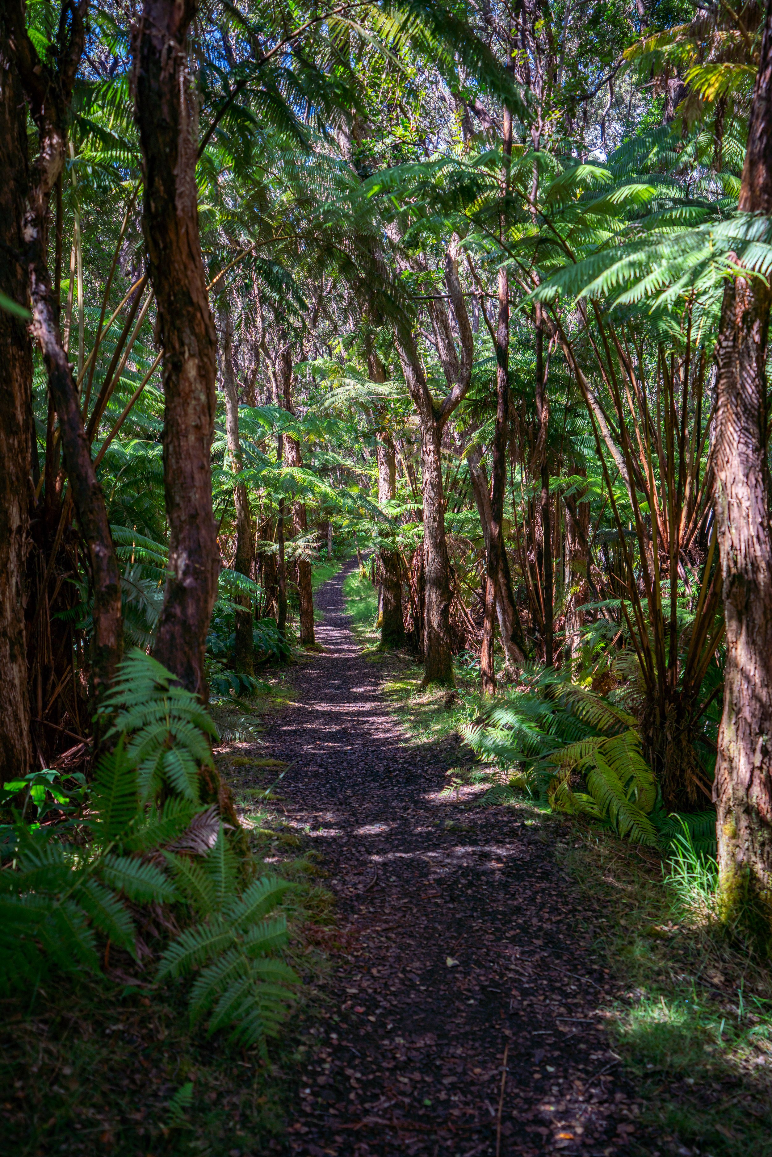
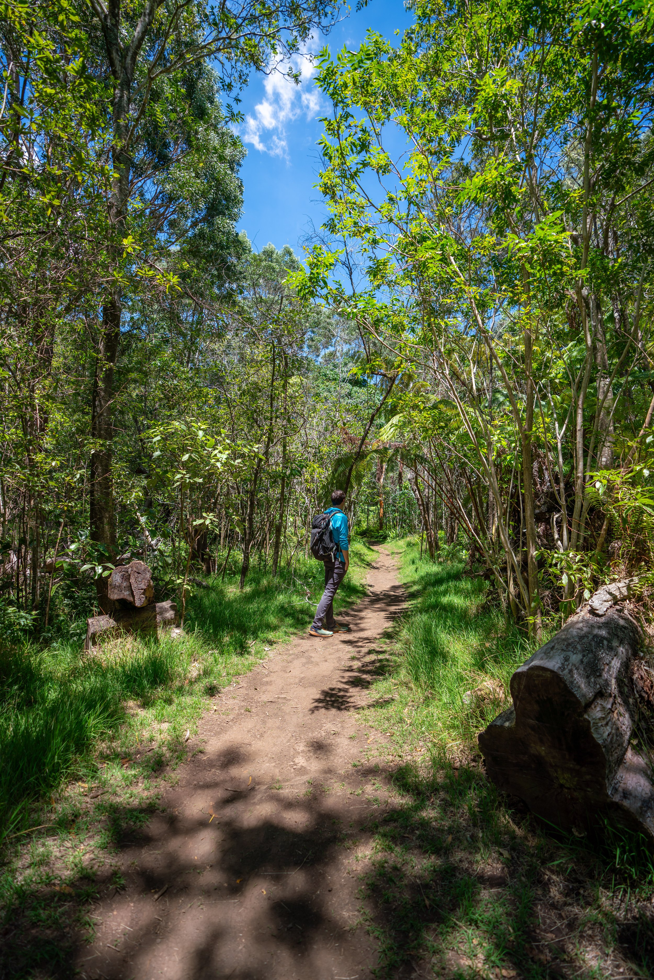
The Mauna Loa Trail starts out in a mixed Koa-ʻŌhiʻa-Māmane forest before the canopy breaks open within the first quarter mile of the trailhead.
There are two ungulate fences on the Mauna Loa Trail to protect the native vegetation on the inside.
Please close these gates behind you.
Elevation 7,000 ft. (2,134 m)
After a short distance into the hike, you'll probably see that the Mauna Loa Trail is best broken up by elevation, as opposed to miles.
That’s because much of the trail will look the same, and there aren’t a ton of distinguishing landmarks other than the elevation signs.
Additionally, the majority of the Mauna Loa Trail to Red Hill is marked by rock cairns, which are essential for staying on track.
Please do not disturb these trail markers, as the alpine shrubland would be very confusing without them.
Elevation 8,000 ft. (2,438 m)
At around 8,100 ft. (2,469 m), the ʻŌhia on the trail will disappear altogether.
If you know how to identify native plants, they can be one of the best ways to mark your progress when the entire landscape starts to look the same.
Overall, the hike to Puʻu ʻUlaʻula maintains about the same incline for nearly the entire trail.
Few places on the hike are what one might consider steep, which cannot be said about countless ridge hikes where I live on Oʻahu.
On a clear day from about 8,900 ft. (2,713 m), Puʻu ʻUlaʻula starts to become visible from over 2.5 miles (4.0 km) away.
However, the cabin is on the far side of Red Hill, meaning that you won’t be able to see the cabin specifically until the end of the trail.
Elevation 9,000 ft. (2,743 m)
On our hike up in the steady rain, 9,000 ft. (2,743 m) was where our soaked clothes started to get cold.
It was kind of nice to hike without a jacket at around 7,000 ft. (2,134 m), but once we were up to this elevation, the wind and wet clothes made the last few miles a bit miserable.
This is the second and last ungulate fence on the Mauna Loa Trail.
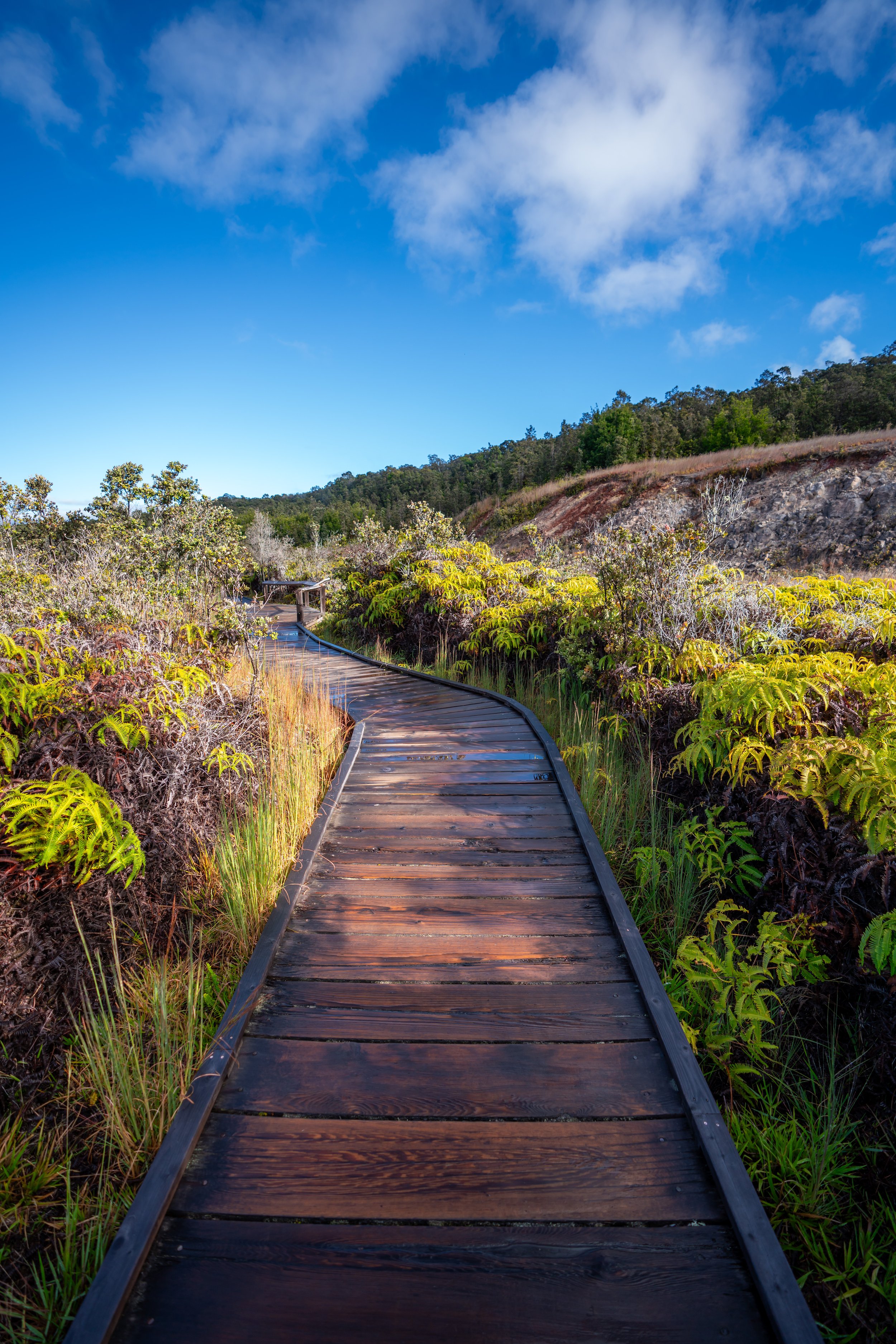
The end of the Mauna Loa Trail wraps around Red Hill on the left side, up to where the cabin is located.
Puʻu ʻUlaʻula (Red Hill Cabin)
At just over 10,000 ft. (3,048 m), the Mauna Loa Trail ends at the Red Hill Cabin.
When we were cold and soaked, changing clothes, making dinner, and playing cards in the cabin was the best thing in the world!
Ideally, if you start early in the day, you’ll be one of the first ones at the cabin to claim your bunk. If not, I recommend coming prepared with a tent incase every option, including the floor, is full.
Make sure you bring a water filter or iodine tablets to treat your water before consuming.
Additionally, the NPS recommends bringing toilet paper because it is not a guarantee when you get there.
Sunrise at Puʻu ʻUlaʻula
Since Mauna Loa blocks the sunset to the west, sunrise is better from Puʻu ʻUlaʻula than sunset.
In our experience, sunrise was also much clearer out than sunset.
Puʻu ʻUlaʻula to 2022 Lava Flow
One-way Distance: 3.0 miles / 4.8 km
During the 2022 Mauna Loa eruption, the Mauna Loa Trail to the summit was covered by the lava flows.
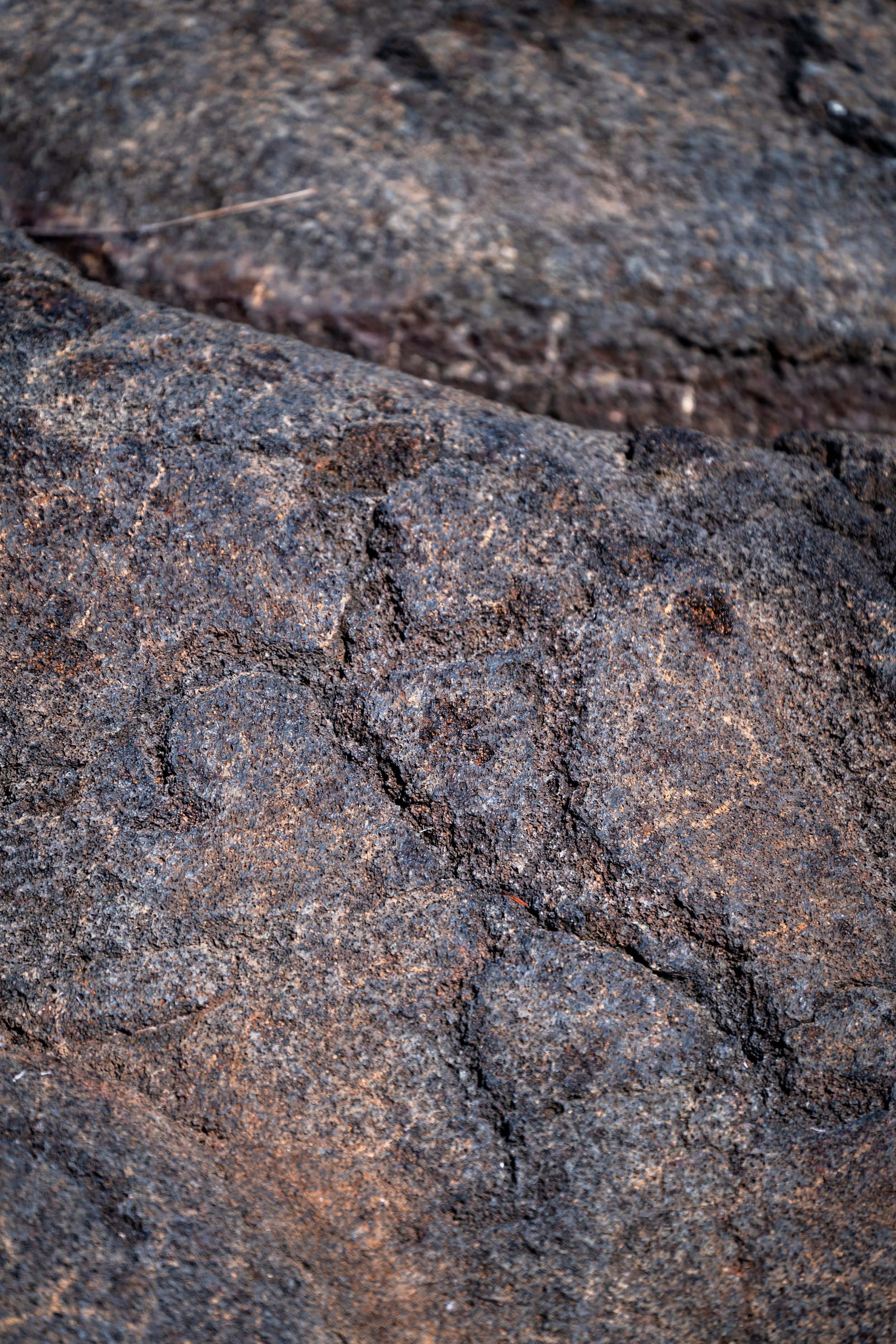
I would go as far to say that the trail is unhikeable after 3.0 miles (4.8 km). The lava rock is some of the sharpest, most brittle surfaces to walk on, and every step felt like the ground was going to collapse underneath you.
Elevation 11,000 ft. (3,353 m)
The 2022 lava flow is located on a short distance past the 11,000 ft. (3,353 m) mark.
2022 Mauna Loa Lava Flow
The 2022 Mauna Loa eruption covered 5.0 miles (8.0 km) of the trail leading up to the summit.
Like I previously said, consider the trail unhikeable because navigating this terrain is nothing like the previous miles up to this point. We didn’t walk more than a few feet because with every step, the ground would cave in a little giving you the feeling that you’re going to slice your shin open if it were to collapse a foot or more.
Until some major trail work is undertaken, expect the Mauna Loa Trail to be closed to the summit for some time.
Native Plants on the Mauna Loa Trail
Since the Mauna Loa Trail is an upper elevation hike, it’s one of the best trails to see a variety of native Hawaiian plants.
On the hike up to the Red Hill Cabin, you can expect to see ʻĀkala, ʻŌhiʻa, Koa, ʻAʻaliʻi, ʻŌhelo, Naʻenaʻe Pua Melemele, and Māmane to name a few.
If you would like to learn more about these and other native plants from across Hawaiʻi, check out my separate post below.
Read My Separate Post: Native Hawaiian Plant Guide


