Hiking the Kīlauea Iki Trail in Hawaiʻi Volcanoes National Park
Distance: 3.4 miles / 5.5 km
The Kīlauea Iki Trail in Hawaiʻi Volcanoes National Park is arguably the best all-around day hike in the Puna District near the Kīlauea Caldera, and I say this because the trail offers so much diversity in just one relatively short loop!
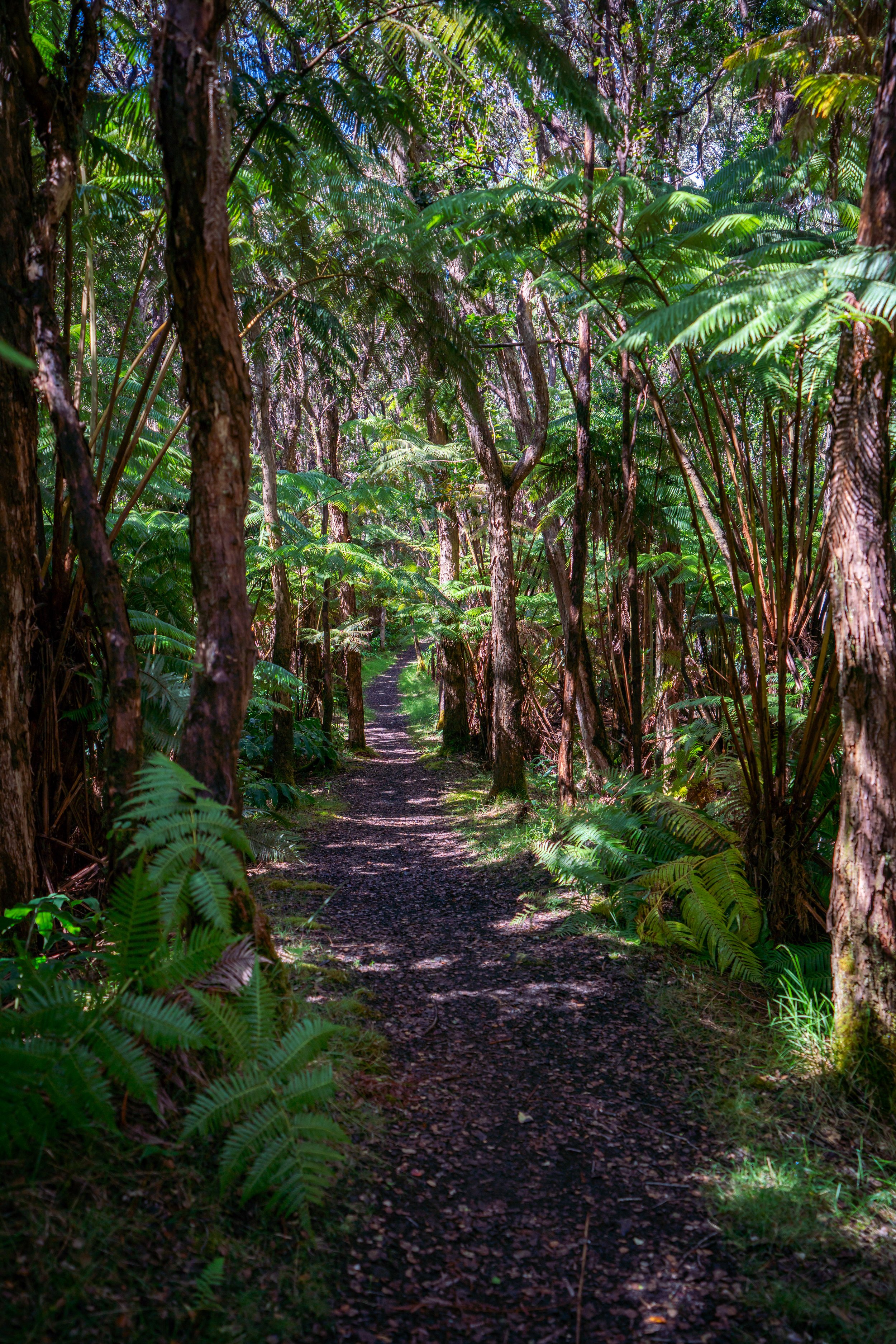
From the Crater Rim and down the east switchbacks, the Kīlauea Iki Trail descends through one of the lushest rainforests on the the Big Island, but this all abruptly ends once at the bottom of the Kīlauea Iki Crater.
It is here that the expansive landscape at the bottom of Kīlauea Iki opens up almost instantly with 360º views, where the Kīlauea Iki Trail traverses through the heart of a mostly barren, dry volcanic landscape, which at times, volcanic steam can be seen rising from the crater floor!
Finally, on the far side of Kīlauea Iki, the trail ascends back up to the rainforest before looping back to the beginning on the Crater Rim Trail.
Kīlauea Iki Trailhead Parking
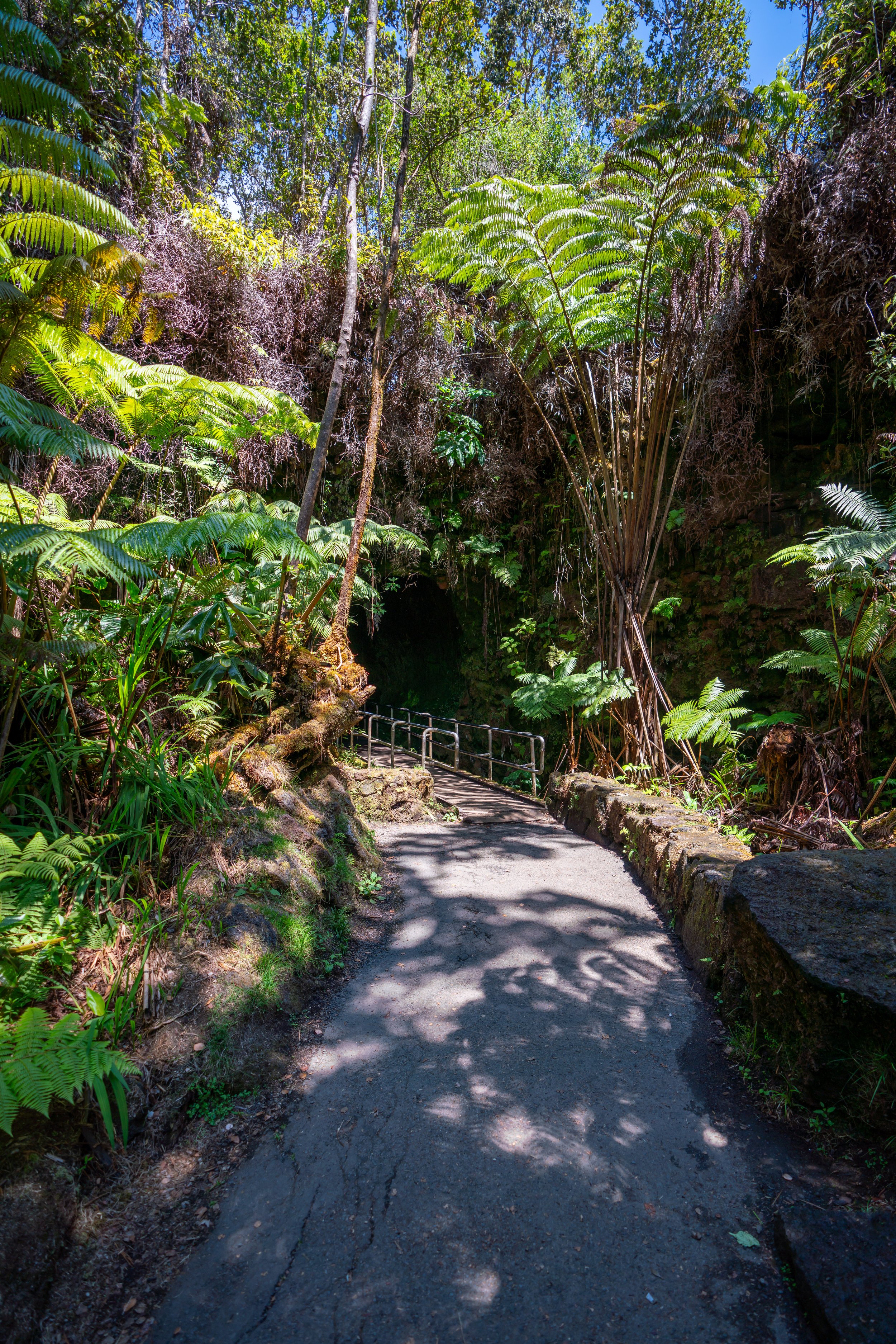
Parking for the Kīlauea Iki Trail is located at either the Kīlauea Iki Overlook, or the Nāhuku Lava Tube.
Personally, I recommend parking at the Kīlauea Iki Overlook because it’s typically an easier parking lot to find a spot, as the Nāhuku Lava Tube tends to be one of the busier trailheads in all of Hawaiʻi Volcanoes National Park.
Google Maps Directions: Kīlauea Iki Overlook / Nāhuku (Thurston Lava Tube)
Hiking the Kīlauea Iki Trail
Regardless of which trailhead you choose to park at, I highly recommend hiking the Kīlauea Iki Loop Trail in a clockwise direction.
I say this because the descent down into the Kīlauea Iki Crater on the Nāhuku Lava Tube side (east) is much more significant, whereas the ascent back out on the west side is much more gradual and spread out as the trail works its way around the north rim.
This is to say, it’s much easier to hike the Kīlauea Iki Loop clockwise as opposed to counterclockwise.
From the Kīlauea Iki Overlook, the the trail parallels the crater for the first 0.5 miles (0.8 km) before reaching the Nāhuku Lava Tube parking lot.
Nāhuku (Thurston Lava Tube)
When the trail reaches the Thurston Lava Tube parking area, simply stay along the sidewalk to find the trail that leads down into the crater shortly ahead.
This is typically the busiest part of the Kīlauea Iki Trail.
Read My Separate Post: Nāhuku (Thurston Lava Tube) Trail
East Kīlauea Iki Switchbacks
At the far end of the parking lot, the Kīlauea Iki hike begins the descent down to the bottom of the crater.
In all, the trail descends about 400 ft. (122 m) over the course of 6 or 7 switchbacks, depending on how you count, before emerging from the forest at the crater floor.
I highly encourage you to read the signs to learn about the forest you’re hiking through.
Many of the plants, including this endemic ʻŌhā, are found no where else on earth, and sometimes nowhere else across the Hawaiian Islands.
Kīlauea Iki
Where the switchbacks end, the dense forest gives way to the vast volcanic landscape at the bottom of Kīlauea Iki.
Be careful as you hike through the crater, as there are many cracks in the ground on top of large, unstable rocks.
For the most part, following these rock cairns or Ahu is fairly straightforward until the west side of the Kīlauea Iki Crater.
That being said, these open sections at the bottom of Kīlauea Iki is where hiking in a hooded sun shirt is often best in order to stay safe from the constant exposure.
It’s around here where following the trail can be a little tricky, as much of the ground has fallen in.
However, if you’re ever rock hoping or walking on anything unstable, I can almost guarantee that you can find an easier trail if you turn around and look for a different path.
West Kīlauea Iki Switchbacks
On the west side of Kīlauea Iki, the loop trail begins a steep but very short ascent back out of the crater.
I say that hiking in this direction is easier overall because this short 140-ft. (43 m) ascent is not all of the elevation gain to get back to the Kīlauea Iki Overlook; rather, it becomes much more spread out as the trail makes its way around the north rim of the crater.
This is why I prefer hiking the loop in this direction because going the other way would mean doing almost all of the elevation gain at once.
Kīlauea Iki Spur
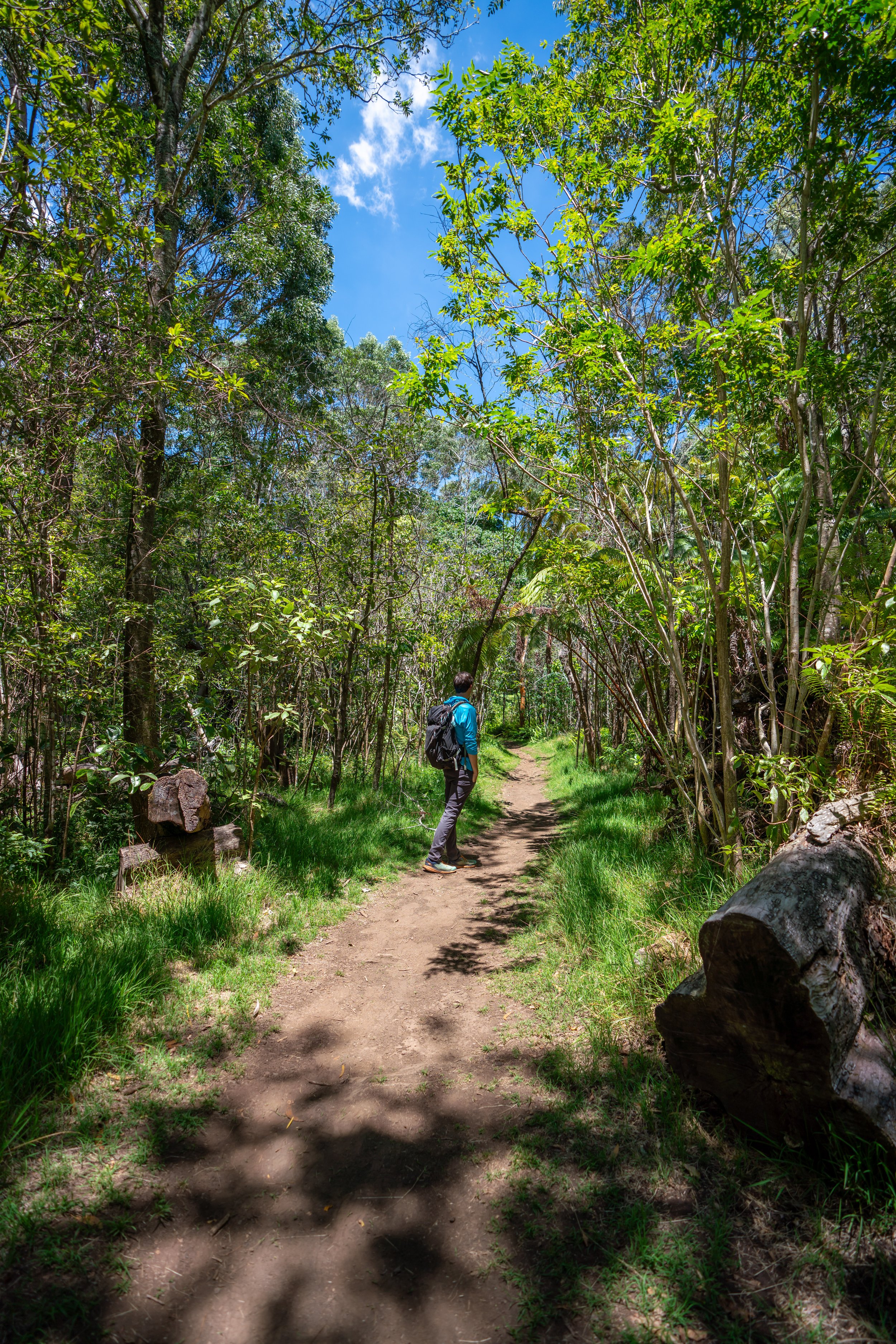
At the top of the switchbacks, go right at the first junction, as the trail will level out significantly from here.
The trail to the left connects with the Byron Ledge Trail.
Byron Ledge Spur-Kīlauea Iki Junction
Then, after about 0.2 miles (0.3 km) the trail reaches another split for the Byron Ledge Trail.
Go right to continue around the Kīlauea Iki Loop along the north rim.
Crater Rim Junction
Finally, the Kīlauea Iki Loop Trail finishes on the Crater Rim Trail for the last 0.8 miles (1.3 km).
Go right once again, and the trail will simply follow the crater rim until reaching the Kīlauea Iki Overlook, where the loop began.
Read My Separate Post: Crater Rim Trail
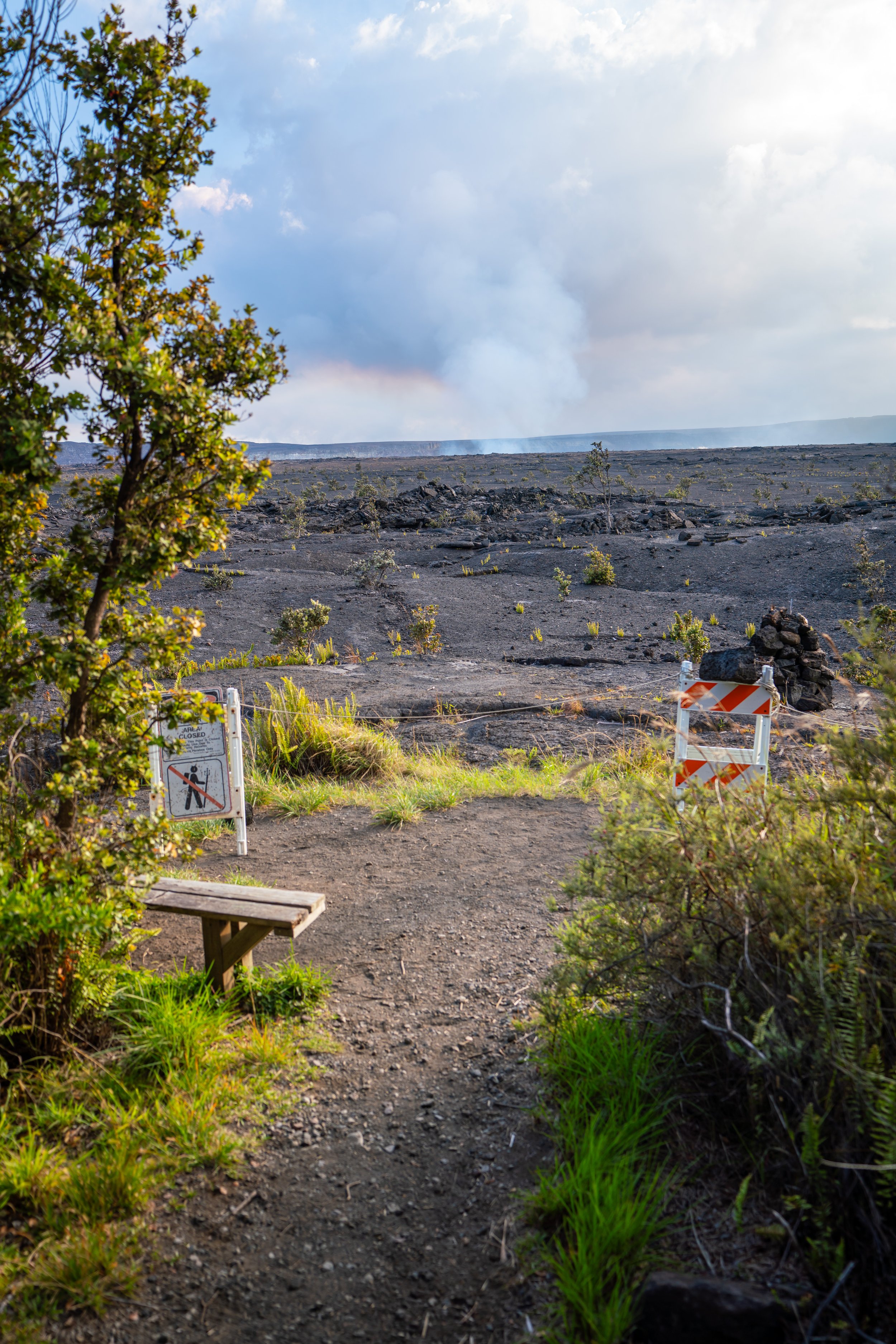
It always really awesome to see Kīlauea erupting off in the distance!
Native Plants on the Kīlauea Iki Trail
The Kīlauea Iki Trail is one of the best trails in Hawaiʻi Volcanoes to see a large diversity of native Hawaiian plants across all areas of the trail.
To name a few, you can expect to see ʻŌhiʻa, Kōpiko, Kōlea, Hāpuʻu, Kāwaʻu, ʻŌhā, and ʻŌhelo kau lāʻau.
If you would like to learn more about identifying these and tons of others found across the Hawaiian Islands, check out my separate post linked below.
Read My Separate Post: Native Hawaiian Plant Guide


