Hiking the Potato Chip Rock Trail (Mt. Woodson) via Highway 67 in San Diego, California
Distance: 4.2 miles / 6.8 km
The Potato Chip Rock Trail, also known as the Mt. Woodson Trail, is one of San Diego’s most popular day hikes because of the unique and seemingly implausible Potato Chip Rock, located near the summit of Mt. Woodson.
That said, there are a number of ways to hike up Mt. Woodson, with one of the most common being Mt. Woodson Road, as it’s the shortest and most direct of all the varying routes to Potato Chip Rock.
This is all to say, I’ve been fortunate to hike up Mt. Woodson and Potato Chip Rock a number of times, and Mt. Woodson Road has always been my preferred route to the summit because it’s so much quicker than the routes from the north and east sides of the mountain.
Mt. Woodson Trailhead Parking (Hwy 67)
Parking for the Potato Chip Rock Trail, via Highway 67 and Mt. Woodson Road, is located directly alongside the busy four-lane Hwy 67.
For this reason, the Hwy 67 Mt. Woodson Trailhead is easily the most dangerous trailhead for Potato Chip Rock, which is why it’s important to keep a close eye on any young kids or pets that you may have along with you.
Google Maps Directions: Mt. Woodson Trailhead (Hwy 67)
Hiking Checklist - Southern California
Here is a complete list of must-have things that you will want for any hike in Southern California.
Hiking the Potato Chip Rock Trail (Mt. Woodson) via Hwy 67
The Potato Chip Rock Trail starts at the very beginning of Mt. Woodson Road just outside of the Ramona Fire Station.
It is here that the Potato Chip Rock Trail parallels Hwy 67 before reaching the public access for Mt. Woodson Road, located shortly ahead.
This lower section of the hike to Potato Chip Rock will be the only section following a true trail, as the rest of the hike to the top ascends Mt. Woodson Road.
Mt. Woodson Road
After only 0.2 miles (0.3 km), go right to continue up Mt. Woodson Road to Potato Chip Rock.
With the exception of the very early and late times of the day, there isn’t a lot of shade along Mt. Woodson Road, which is why I recommend hiking with a long-sleeved hooded sun shirt, like the ones shown below.
Following the water tank, Mt. Woodson Road climbs a series of about 9 switchbacks up to the summit, depending on how you count.
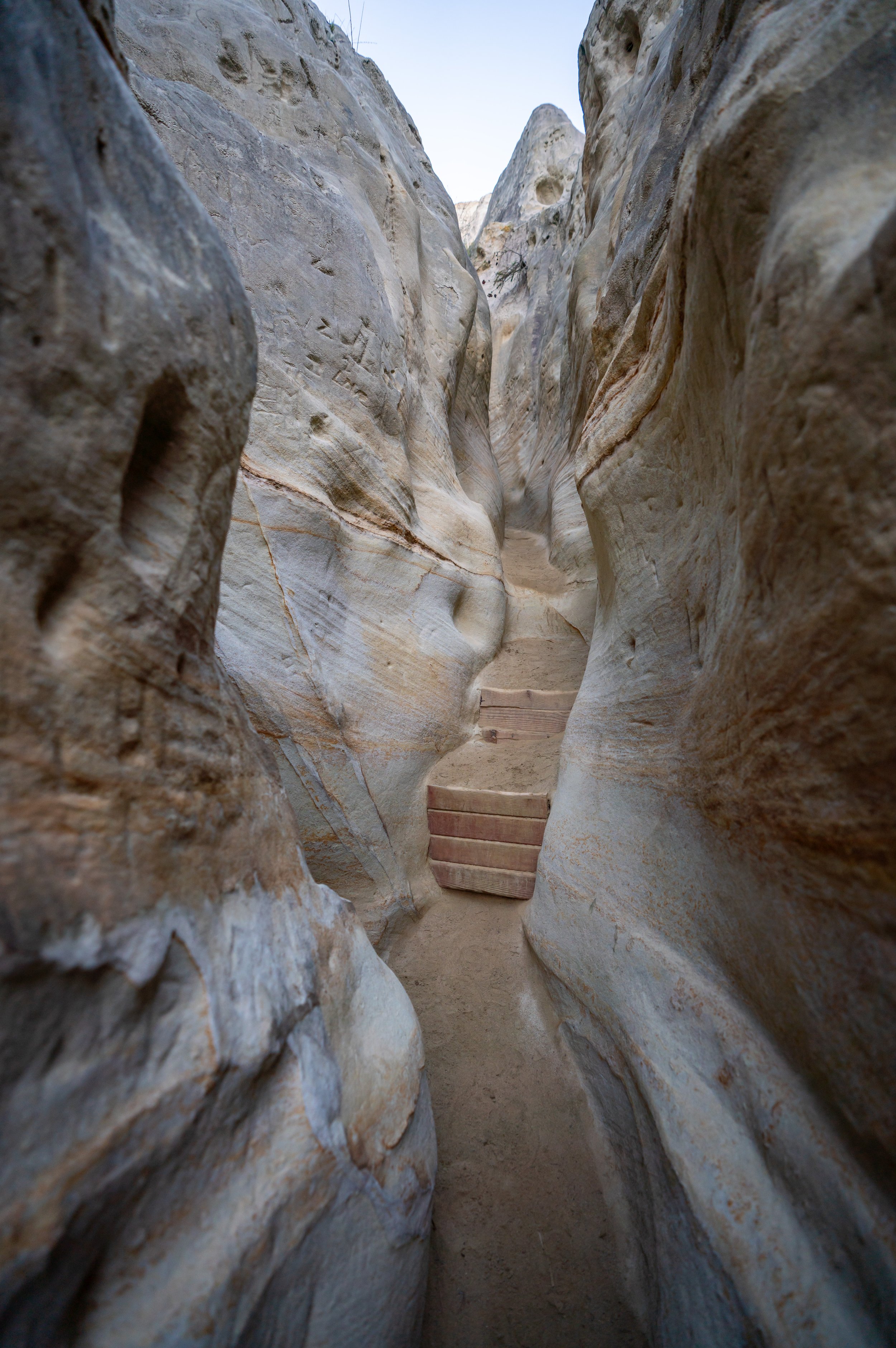
Some of these rock formations on the middle portions of the Potato Chip Rock Trail were my favorite parts of Mt. Woodson Road.
Mt. Woodson Summit
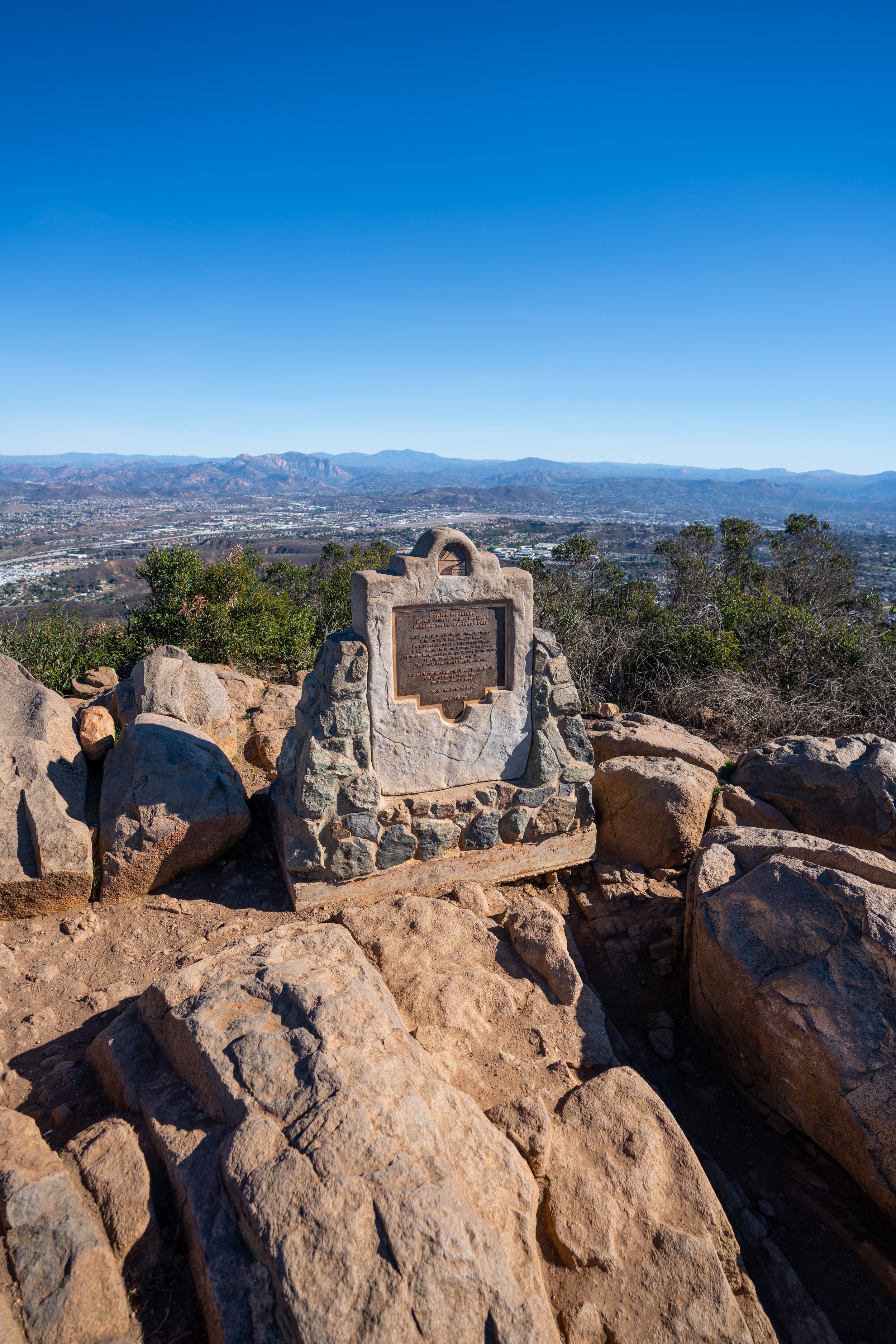
If you’re interested in reaching the true summit of Mt. Woodson, you’ll have to leave Mt. Woodson Road to the south (left) a little before the road’s crest, which is near the first set of buildings that you can see in the photo below.
That being said, Mt. Woodson Road will split twice near the top, continuing to the right at both, to reach Potato Chip Rock.
After the summit of Mt. Woodson, the Potato Chip Rock Trail continues for another 0.2 miles (0.3 km) past the road’s crest to reach Potato Chip Rock, located slightly downhill on the west side of the mountain.
Potato Chip Rock
Whether coming up the Mt. Woodson Trail from the west or Mt. Woodson Road from the east, Potato Chip Rock is typically the end of the hike for most visitors.
That being said, most of the typical photos that you see atop the seemingly razor-thin Potato Chip Rock require at least some scrambling to get out toward the edge, and lines have been known to form on busy days, with hikers all waiting to get a similar photo.
Mt. Woodson Sunrise & Sunset
Both sunrise and sunset are amazing to watch from the summit of Mt. Woodson, but if you’re interested in getting the best photos from Potato Chip Rock, know that the best light is truly a sunset-only activity.
By this, I mean that all of the photos of the trail above were taken shortly after sunrise, but as Mt. Woodson Road passes beyond the summit, the hike, including Potato Chip Rock, is left in the shade until a bit later in the day.
All this to say, sunrise is best just prior to reaching the summit of Mt. Woodson, and sunset is best observed from Potato Chip Rock.


