Hiking the Cowles Mountain Trail: The Tallest Peak in San Diego, California
Distance: 3.0 miles / 4.8 km
Located in the beautiful Mission Trails of San Diego, the Cowles Mountain Trail is one of Southern California’s most popular day hikes, as it’s known for being the highest point in San Diego at 1,591 ft. (485 m).
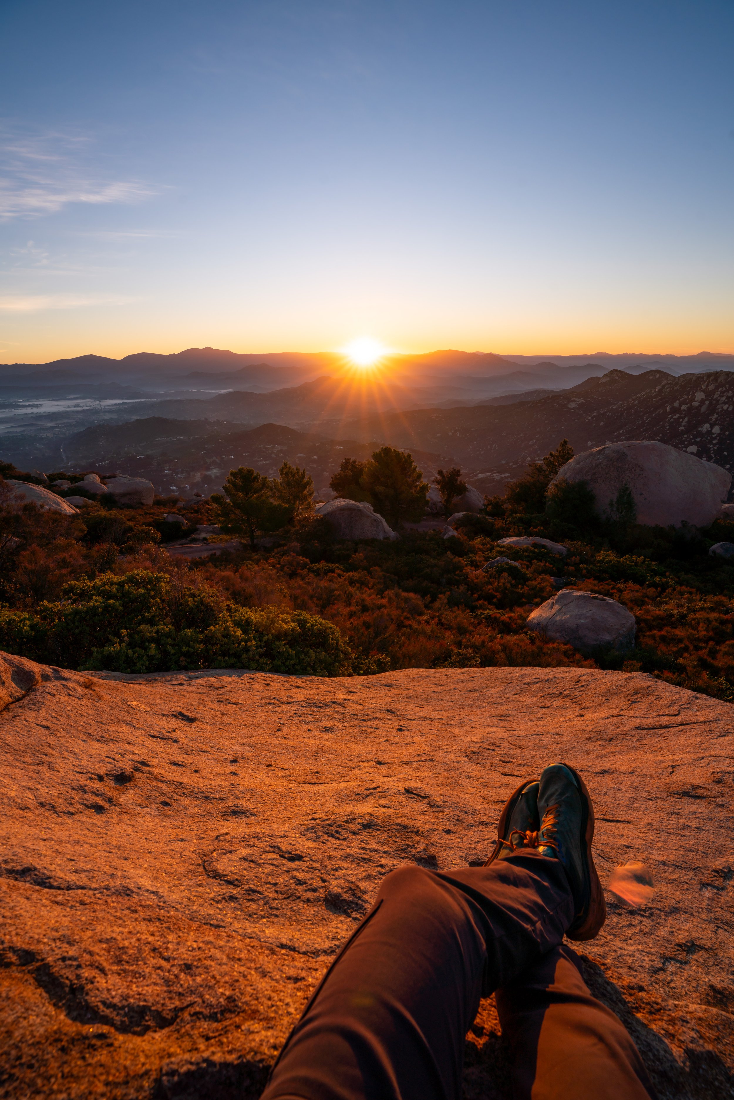
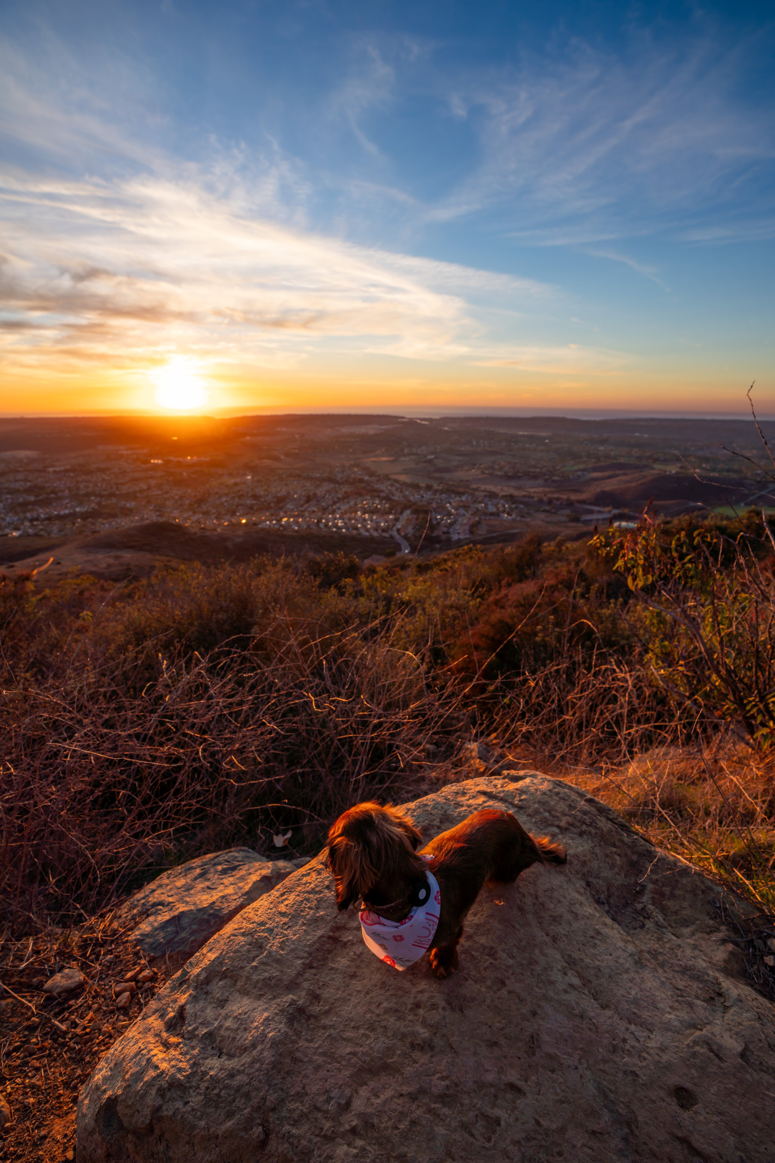
On top of this, Cowles Mountain makes for one of San Diego’s best sunrise and sunset hikes, with unobstructed, panoramic views on all sides of the peak!
However, this all goes without saying, if you have the opportunity to hike Cowles Mountain on a weekday rather than a weekend, you can have a much less crowded experience, as opposed to how busy the photos below show the trailhead on a beautiful Saturday morning.
Cowles Mountain Trailhead Parking
Parking for the Cowles Mountain Trail is located in either the small public parking area adjacent to the trailhead, or, if the parking lot is full, parking can easily be found on both sides of Golfcrest Dr. near the trailhead.
Google Maps Directions: Cowles Mountain Trail
Hiking Checklist - Southern California
Here is a complete list of must-have things that you will want for any hike in Southern California.
Hiking the Cowles Mountain Trail
For nearly the entire hike, the Cowles Mountain Trail constantly climbs in elevation, gaining a little over 900 ft. (274 m) in 1.5 miles (2.4 km) from the trailhead to the summit.
That said, Cowles Mountain Trail can mentally be broken up into two 'halves'—both the lower and upper mountain—making the hike feel a bit easier/ faster than it might seem at first.
Shortly after the trailhead, the Cowles Mountain hike will begin climbing a series of roughly 37 switchbacks—depending on how you count—that will continue for nearly the length of the trail.
Additionally, as it should be obvious from these photos, there is nearly no shade on the Cowles Mountain Trail, which is why I recommend hiking with a long-sleeved hooded sun shirt, like the ones shown below.
Upper Cowles Mountain
After 1.0 miles (1.6 km), the Cowles Mountain Trail begins this long straightaway just prior to the Barker Way Trail junction.
It is here that I like to think of this as the transition to the upper mountain, with only about 0.5 miles (0.8 km) left until the summit.
Cowles Mountain-Barker Way Junction
Once at the Barker Way Trail junction, go left to continue toward the summit of Cowles Mountain.
On a different note, the Barker Way Trail is more or less a less-crowded route to the top of Cowles Mountain, at only an extra 0.1 miles (0.2 km) roundtrip.
On top of this, the Barker Way Trail makes for a great trail run back down, utilizing a few side streets to create a roughly 4.5-mile (7.2 km) loop, with the main Cowles Mountain Trail.
After the Barker Way junction, the Cowles Mountain Trail climbs another 10 switchbacks up to the loop trail just below the summit.
Cowles Mountain Summit Loop
Just below the summit of Cowles Mountain, the trail splits into a loop around the top.
While both routes lead up to the top, the trail to the left is a bit more direct, making it the more common of the two paths to the summit.
Cowles Mountain
From the 1,591-ft. (485 m) summit of Cowles Mountain, you can see beautiful panoramic views in all directions, which is why I mentioned previously that Cowles makes for one of the best all-around sunrise and sunset hikes in San Diego!