Hiking the Nighthawk Trail to Black Mountain Summit in San Diego, California
Distance: 4.0 miles / 6.4 km
The Nighthawk Trail in San Diego, California is one of many different access trails in the Black Mountain Open Space Park to reach the beautiful Black Mountain Summit.
That said, the Nighthawk Trail is one of my favorite access trails to the top because it’s neither the longest nor the shortest route to the summit of Black Mountain, making it a nice in-between distance—especially for a late evening sunset hike, as I’ve shown here!
Nighthawk Trailhead Parking
Parking for the Nighthawk Trailhead is located at the very end of Oviedo Way or in the adjacent Hilltop Park, whichever is easier, with one not being better than the other.
Google Maps Directions: Nighthawk Trailhead
Hiking Checklist - Southern California
Here is a complete list of must-have things that you will want for any hike in Southern California.
Hiking the Nighthawk Trail to Black Mountain Summit
Located at the far end of Oviedo Way is a short path that leads directly to the Nighthawk Trailhead within Hilltop Park.
Nighthawk Trailhead
While the Nighthawk Trail may be in the middle in terms of distance to reach the Black Mountain Summit, there are a number of different junctions along the way where it’s important to make the correct turn to continue on the most direct route to the top.
That said, almost all of the different splits in the Nighthawk Trail should be fairly obvious or marked in one way or another.
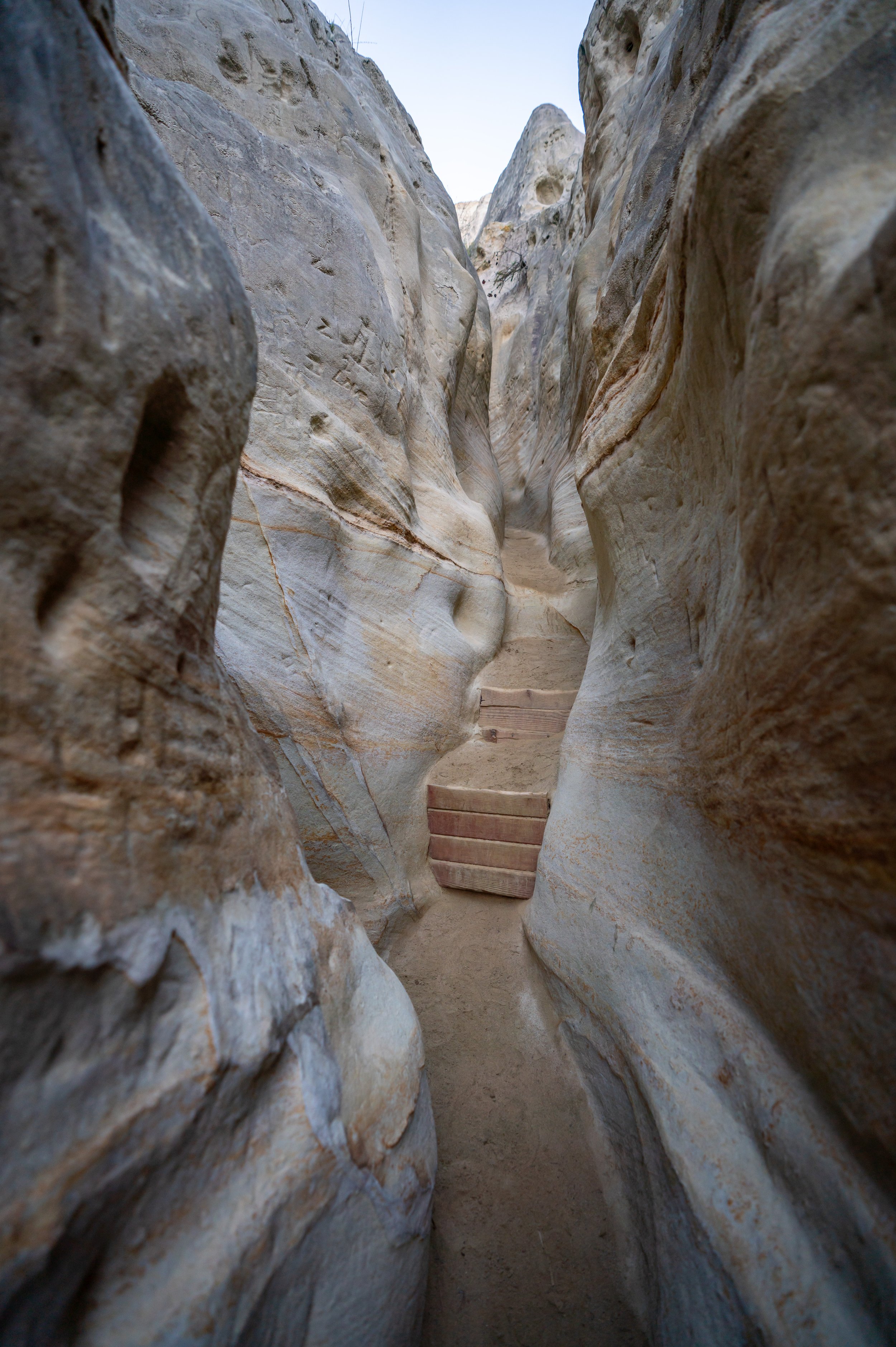
As I believe it should be obvious from my photos, there are very few places to find shade on the Nighthawk Trail, which is why I recommend hiking with a long-sleeved hooded sun shirt, like the ones shown below.
Nighthawk-Sun Devil Way Junction
At about 0.3 miles (0.5 km), the Nighthawk Trail reaches the first of seven splits with the junction for Sun Devil Way, which is more or less a connector trail to another less-popular Nighthawk Trailhead located at the very end of Sun Devil Way.
Stay straight (left) here to continue on the Nighthawk Trail.
Nighthawk-Little Black-Roadrunner Loop Junction
Next, the Nighthawk Trail branches with the Little Black and Roadrunner Loop Trails.
Continue straight (left) to keep on the most direct path to the summit.
Eventually, the views of Black Mountain will start to look a little closer, and if you look toward the top, you can see the final stretch of trail leading to the summit.
Nighthawk-Little Black Loop-East Rim Junction
The next junction is for the Little Black Loop and East Rim Trails, where you’ll, once again, want to continue straight (left) to stay on the Nighthawk Trail.
Nighthawk-Miner’s Ridge Junction
At the final split in the Nighthawk Trail, located just before the Black Mountain Service Road that leads to the summit, go left for the fourth time to continue toward the summit.
After the Nighthawk-Miner’s Ridge junction, expect the Nighthawk Trail to climb a very short but steep section up to the service road.
Black Mountain Service Road
Then, the Nighthawk Trail comes to an end where the Black Mountain Service Road begins.
Go right at this junction to continue up toward Black Mountain Summit.
Service Road-Black Widow Junction
The last and final trail junction before Black Mountain Summit is the Black Widow Trail, off to the side of the service road.
Don’t follow it; instead, continue up the service road to the loop that leads to Black Mountain Summit.
Black Mountain Summit Loop
Just below the summit, the Black Mountain Service Road will split, where you either have the option to take the shorter but steeper trail up to the top, or the longer but slightly more gradual service road.
I chose to continue up the Black Mountain Service Road.
I found it easiest to continue around the buildings on the right.
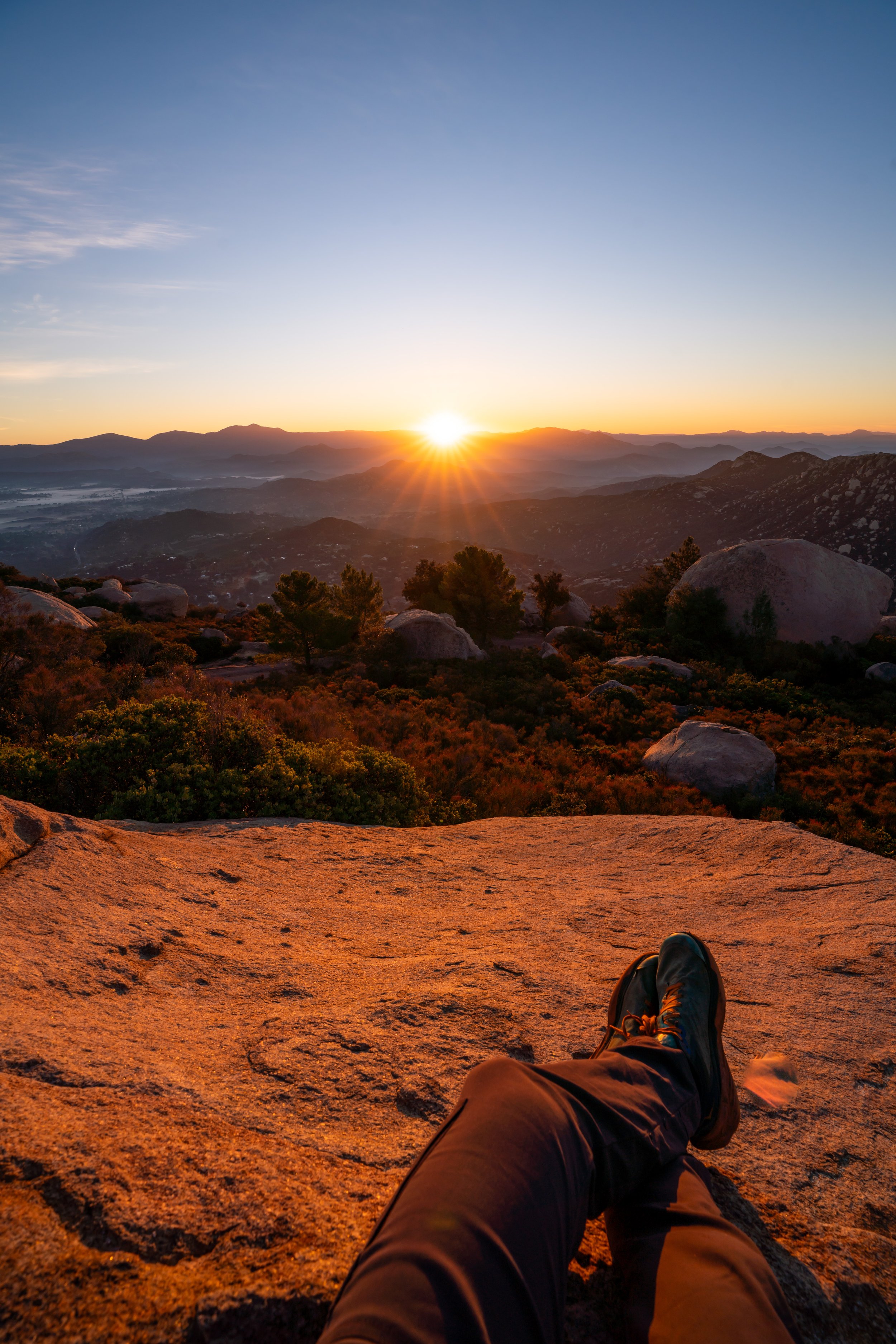
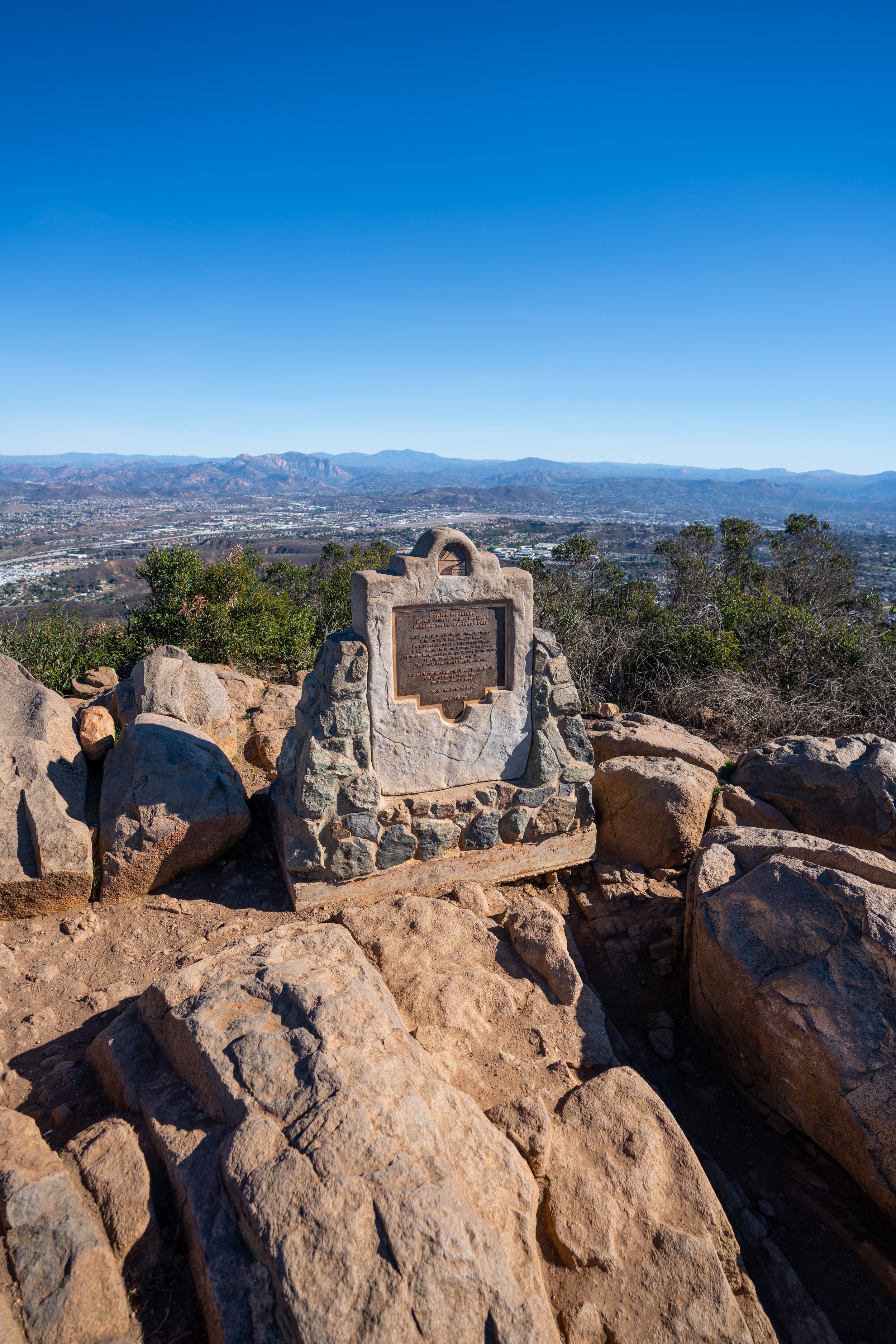
Black Mountain Summit
From the Black Mountain Summit, you can get beautiful panoramic views on all sides of the peak, making Black Mountain one of the best San Diego hikes to catch both sunrise and sunset!
Oh, and meet Eleanor, my little miniature Dachshund!
This is sunset looking toward the coast from the Black Mountain Summit!