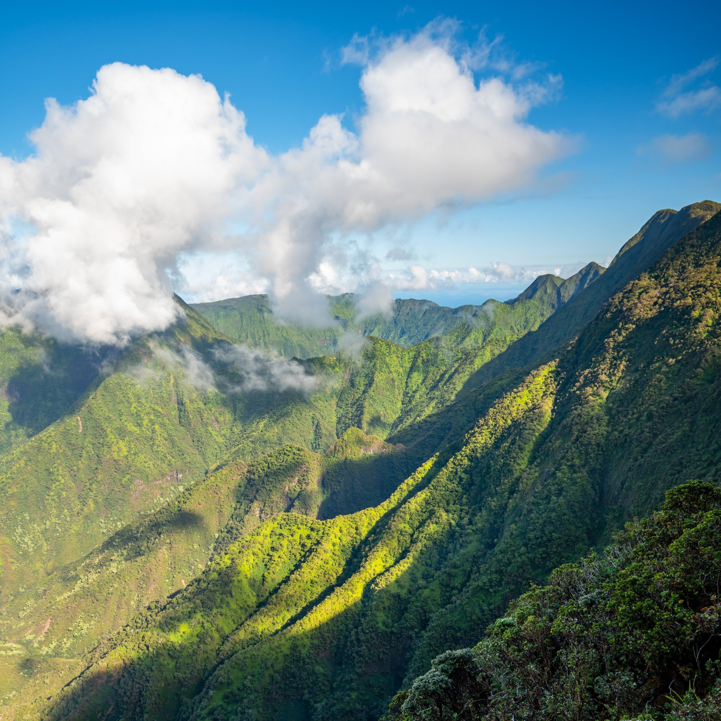
Hiking the Hālawa Valley Trail to Moaʻula & Hīpuapua Falls on Molokai, Hawaiʻi
Distance (Roundtrip): 5.8 miles / 9.3 km
The Hālawa Valley Trail, also called the Moaʻula Falls Trail, on the east side of Molokai is a bit of a controversial topic regarding the tour versus hikers who would rather hike to Moaʻula Falls on their own.
What I mean by this is that the residents of Hālawa Valley would like all visitors on Molokai to pay for either a cultural tour that doesn’t include the waterfall or a cultural and waterfall tour, which is the more expensive of the two.
I have my own thoughts about this, but what I can say for sure is that if you book the waterfall tour, you will not have the opportunity to see Hīpuapua Falls, which is without a doubt the better of the two.
All this to say, the distance above is the roundtrip distance from Hālawa Beach Park to both waterfalls, not just Moaʻula Falls where the tour leads.
Hālawa Valley Trailhead Parking
Parking for the Hālawa Valley Trail is located either at the very end of Kamehameha V Hwy in the beach parking lot or off the side of the road near Hālawa Park.
Hālawa Park is slightly closer to the trailhead, but if you plan on visiting the beach during your visit, I recommend parking at the end of the road.
Google Maps Directions: Hālawa Valley Trailhead
Hiking the Hālawa Valley Trail to Moaʻula & Hīpuapua Falls
The Hālawa Valley Trail begins at the first split off Kamehameha Hwy into Hālawa Valley, which is the road same where the Ierusalem Hou Church is located.
From here on out, this post is written as if you’re making the decision to hike Hālawa Valley on your own, accepting all risks and potential consequences for hiking without the community’s permission.
When the road splits just past the church, you’ll need to make your first decision.
The road to the left follows the same path as the AllTrails map, where hikers commonly debate about doing the tour vs. hiking on your own. The road to the right also traverses through Hālawa Valley, which is the route I typically prefer to hike on my own.
In either case, I’m not advising you to trespass through anyone’s property, but I know there to be a best path on the roads and around the community’s homes in order to be respectful.
However, while I would say I know a few things in order to not disturb the community, you’ll likely be told kindly or met with resistance if you show up midday and try to hike on your own, as all the residents in Hālawa Valley take a firm stance that all tourists need to be accompanied by a guide.
Therefore, I’m only sharing this information because, like I said previously, if you hike in one of the guided tours, you are not going to see Hīpuapua Falls, which is without a doubt the better waterfall.
After the initial split near the church, the road splits once more where you’ll want to go right over Hālawa Stream.
Hālawa Stream
This bridge over Hālawa Stream is the only stream crossing on the entire hike until the junction where both Moaʻula and Hīpuapua Falls split.
After Hālawa Stream, the road continues around to the left and through this tunnel of trees.
On the far side of the tree tunnel, you will be greeted with an area managed for traditional Hawaiian agriculture known as loʻi.
This is where respect is paramount, as Molokai, and even more so, Hālawa Valley, rely on subsistence agriculture and aquaculture in order to feed themselves.
DO NOT walk through their loʻi, which would cause a lot of damage if hikers were to do so.
There is a best path around all of these fields, either to the far right or far left near the stream, in order to not walk through their hard work. Personally, I believe the route to the far left, closer to the stream, is best.
Once past all the loʻi, come back around to the flat dry forest on the far side where there will be one more house to walk past.
The real trail begins just past this house, against the hillside. Therefore, once you’re past the house to avoid disturbing it, go right up the hill until you see the trail.
Hālawa Valley Trailhead
This is the real Hālawa Valley Trailhead, just past the house.
Furthermore, I cannot speak to what will happen in your scenario if you choose to hike without a guide, but all I can encourage is respect.
Be nice and be respectful if you are confronted, but at the end of the day, you are responsible for your own decisions, should you choose to hike without a guide.
'PVC Trail'
The first part of the Hālawa Valley Trail is what I like to call the 'PVC Trail.'
This is the easiest stretch of the trail to follow because this pipe follows the trail for at least half of the hike.
That said, the trail is not as straightforward as simply following the pipe all the way to the waterfalls, as there are a number of random little turns that may not be obvious.
As I’m sure you can tell, the Hālawa Valley Trail is not managed by an official agency.
If you notice this split in the middle of the trail, I can tell you that it doesn’t matter which way you decide to go.
Both routes should meet up shortly after, but it’s not the worst idea to follow the AllTrails map on your phone.
At the far end of this rock wall, look for this right turn where the trail will continue up toward the waterfalls.
Eventually, the trail leaves behind the PVC pipe behind for the final time, which is a nice mental checkpoint that you’re nearing the split for both Hīpuapua and Moaʻula Falls.
Moaʻula-Hīpuapua Falls Junction
When the Hālawa Valley Trail comes to the second stream crossing after the bridge from the beginning, you’ve reached the split in the trail for both Moaʻula and Hīpuapua Falls.
That said, if you’re only planning on hiking Moaʻula Falls continue straight (left) over the stream, which is the Hīpuapua Stream.
However, if you’re planning to hike both waterfalls, I recommend that you go right first, as Hīpuapua Falls is the more challenging of the two.
This is because, unlike Moaʻula Falls, there is no trail to Hīpuapua Falls.
Hīpuapua Falls Trail
This is the trail toward Hīpuapua Falls, which is the direction I typically prefer to hike first.
Warning
One of the main reasons the tour doesn’t hike to Hīpuapua Falls is because of the increased flash flood risk on the Hīpuapua side of the trail.
This risk is increased because shortly before the falls, there is nowhere else to walk upstream but in the stream. Therefore, this is the most dangerous section of the hike to Hīpuapua Falls, which is why hiking to either waterfall is never recommended if it’s currently raining or if it’s forecasted to rain.
I mention "either waterfall" because you could get trapped on the Moaʻula Falls side of Hīpuapua Stream if it were to flash flood.
Since there is no trail on the Hīpuapua side of Hālawa Valley, the best advice that I have is to stay on the right side of the stream until you can’t anymore.
It’s always fastest to hike out of the stream than in it.
After a short but slow hike up the Hīpuapua Stream, the waterfall should start to become visible in the distance.
This is the stretch that carries the highest risk if the stream were to suddenly rise.
Make smart decisions, and turn around if it’s raining.
Hīpuapua Falls
According to some reports, Hīpuapua Falls drops more than 500 ft. (152 m) over a multi-tiered waterfall, with this one obviously being the bottom and most accessible.
Personally, one of my favorite things about Hīpuapua Falls is the deep swimming hole that wraps around to the right side of the falls.
However, before jumping anywhere, be sure to check the depth, as some areas are very shallow while others can be very deep.
Moaʻula-Hīpuapua Falls Junction
If you’re hiking in the same order as I have shown, go left once back at the Moaʻula-Hīpuapua Falls split in order to cross over the Hīpuapua Stream toward Moaʻula Falls.
Moaʻula Falls Trail (Hīpuapua Stream Crossing)
Typically speaking, the Hīpuapua Stream crossing is the part of the guided tour that visitors find the most difficult.
However, if you were able to hike to Hīpuapua Falls without too much difficulty, I think that you’ll find the rest of the hike to Moaʻula Falls to be quite easy.
Moaʻula Falls
Moaʻula Falls marks the end of the maintained Hālawa Valley Trail.
Similar to Hīpuapua, Moaʻula is also a multi-tiered waterfall, though only the lowest 250 ft. (76 m) and the final two drops can be seen from the end of the trail.
Native Plants on the Hālawa Valley Trail
The Hālawa Valley Trail is a low-elevation Hawaiʻi hike, which typically means that the forest is dominated by non-native/ invasive species.
That said, Hālawa Valley is no exception to this, but there are still a few natives that you might find. The most notable native species that I saw were the ʻĒkaha ferns and Hau.
If you would like to learn more about these and many other native Hawaiian plants from across the islands, I encourage you to check out my separate post linked below.
Read My Separate Post: Native Hawaiian Plant Guide