Climbing Castle Peak & Conundrum Peak in the Elk Mountains, Colorado
Distance: 2.5 - 2.8 miles / 4.0 - 4.5 km
Castle and Conundrum Peak in the Elk Mountains near Aspen, Colorado, are two of the 'easier' Colorado 14ers to summit, as the entirety of the climb involves very little scrambling in order to reach the top of both peaks.
This sentiment is also reflected in the very short distance to first reach Castle Peak, followed by Conundrum. The only reason the distance varies is if you choose to take the Saddle Shortcut back down, instead of re-climbing Castle Peak to return.
That being said, this short distance only reflects the roundtrip hike from the uppermost trailhead, not where you may have parked along Castle Creek Road. I say this because it’s common for climbers to park near the 11,000-ft. (3,353 m) mark and walk about 2.6 miles (4.2 km) up the access road to the upper trailhead.
This is what we did, making our roundtrip hike about 7.7 miles (12.4 km), including the Saddle Shortcut to descend.
Castle & Conundrum Peak Trailhead Parking
Parking for the Castle and Conundrum Peak Trail is truly as far up Castle Creek Road as you feel comfortable driving, with most cars making it to around 11,000 ft. (3,353 m), as mentioned previously.
However, some drivers push it to the upper trailhead at approximately 12,800 ft. (3,901 m), which I can say from experience that, unlike roads such as Yankee Boy Basin to Mt. Sneffels or Lake Como Road to Blanca Peak, Castle Creek Road is far less difficult.
Google Maps Directions: Castle & Conundrum Peak Trailhead
Hiking Checklist - Elk Mountains
Here is a complete list of must-have things that you will want for any hike in the Elk Mountains.
Hiking the Castle & Conundrum Peak Trail
Since we began our hike into Montezuma Basin at around 11,000 ft. (3,353 m), our day started with a roughly 2.6-mile (4.2 km) hike up Castle Creek Road.
To skip ahead to upper trailhead at the top of Castle Creek Road, click here.
Castle Creek-Pearl Pass Road Junction
At the split with Pearl Pass Road, go right to stay on Castle Creek Road toward the upper trailhead.
This sharp switchback on Castle Creek Road is a nice sign that there’s only about 1.0 mile (1.6 km) left to reach the upper trailhead.
This is where the lower basin starts to come into view, with Conundrum Peak on the right and Castle Peak just behind the Northeast Ridge on the left.
This is the lower of the two trailheads, with the upper located about 0.1 miles (0.2 km) away.
Montezuma Basin (Upper Castle & Conundrum Peak Trailhead)
Montezuma Basin is the Upper Castle and Conundrum Peak Trailhead, and it’s the start of the climb past Castle Creek Road.
Castle & Conundrum Peak Trail
Initially, the Castle Peak and Conundrum Peak Trail is not very obvious for the first 0.1 miles (0.2 km) until the trail begins climbing the first slope, otherwise known as the headwall.
If there is a significant amount of snow on Castle and Conundrum Peak, the headwall is likely where gear like micro-spikes or crampons, along with an ice axe, may be necessary.
The top of this second slope is where the Castle Peak Trail reaches the upper basin and the split that leads directly to both summits.
Castle-Conundrum Peak Junction
When the Castle and Conundrum Peak Trail reaches the base of the Northeast Ridge, the trail splits, with the shortcut that leads directly to the Castle-Conundrum Peak Saddle and the much more popular Castle Peak Trail.
We chose to first climb the Castle Peak Trail to the left and loop back on the shortcut at the end.
Castle Peak Trail
This is where the rest of the route to the summit of Castle Peak becomes much more straightforward for the rest of the climb, granted that the slopes are snow-free.
Initially, the Castle Peak Trail ascends a few quick switchbacks before heading directly toward the summit along the Northeast Ridge.
Once on the Northeast Ridge, the Castle Peak Trail follows along the crest of the ridge up to the summit.
This is the view looking toward the upper basin and Conundrum Peak.
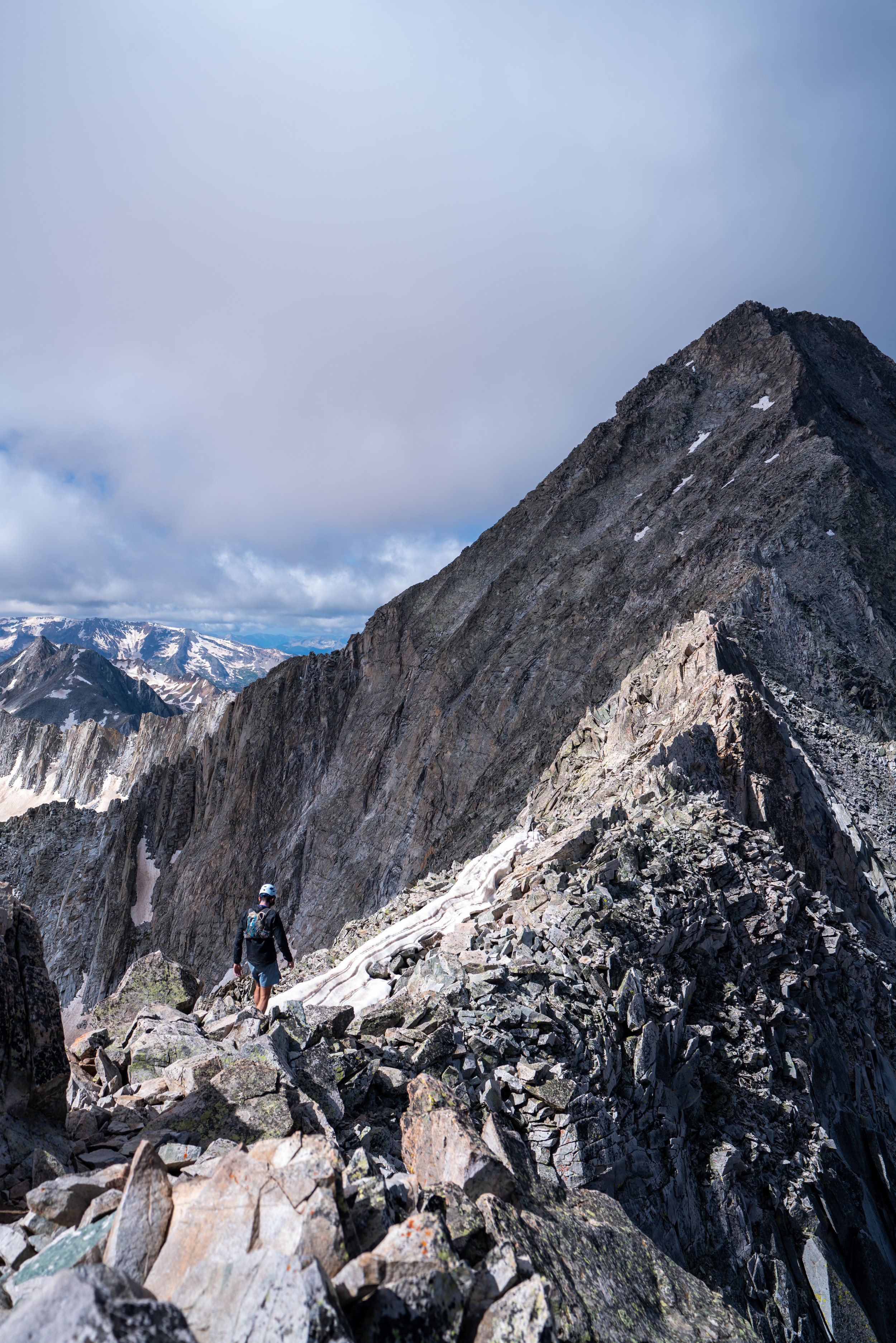
Short sections to scramble up like this are truly as difficult as it gets on the Castle and Conundrum Peak Trail, aside from the shortcut that connects the saddle and the upper basin directly.
On these exposed sections, I was very happy to be hiking in a hooded sun shirt in order to stay safe from the exposure at these upper elevations.
This quick down and up is the second of three scrambling sections on the way to the summit of Castle Peak.
This is the final summit ridge, with only one more short section to scramble before reaching the top.
After the final scramble, there are no more notable sections before the ridgeline reaches the summit of Castle Peak.
Castle Peak
According to 14ers.com, the summit of Castle Peak stands at 14,274 ft. (4,351 m), and on a clear day, it has great views of other notable summits like Maroon and Capitol Peak.
Castle-Conundrum Peak Saddle
From the summit of Castle Peak, the ridgeline continues toward Conundrum Peak, dropping about 440 ft. (134 m) from the summit to the lowest point on the saddle, which is coincidentally where the shortcut from the upper basin meets the ridge.
For the most part, hiking from Castle Peak to the saddle is fairly easy to navigate.
Castle-Conundrum Peak Saddle-Shortcut Junction
This is the lowest point on the saddle, at roughly 13,810 ft. (4,209 m), and it’s also the shortcut that some climbers may choose to descend to avoid re-hiking up to Castle Peak.
Once on the final ascent, the climb up the South Ridge of Conundrum Peak follows a very well-trafficked, straightforward route to the top.
The first part of the Conundrum Peak Trail comes to a very flat summit, which, according to some sources, is the official summit; but according to most others, it isn’t.
Therefore, I recommend continuing on to the second summit in order to be sure!
This quick down and up is the final climb to the true summit of Conundrum Peak.
Conundrum Peak
According to most sources—most notably not AllTrails—this is the true summit of Conundrum Peak, standing at 14,037 ft. (4,278 m) according to 14ers.com.
This is where we turned around, heading back down the Saddle Shortcut to avoid re-climbing Castle Peak.
Castle-Conundrum Peak Saddle Shortcut
When we returned to the saddle, my friend wasn’t sure if she wanted to descend down the shortcut, so I said I would go down and take a look at it since very little of it is actually visible from any point on the climb to either summit.
The first section of the shortcut is a lot of loose rock, and, in my opinion, it was the trickiest section to navigate.
This is to say that if you don’t feel comfortable descending a very steep, loose slope, where you’ll likely have to slowly control your slide, I recommend continuing back up and over Castle Peak.
This gully is not for those who are uncomfortable on unstable terrain, and helmets are a must if you choose to continue down the Saddle Shortcut.
When I reached this spot below the initial loose sections, I was able to turn back and yell toward my friend that I thought the worst part was the beginning.
I said this because the following sections seemed easy enough to scoot down, with a significant number of other places to put your weight compared to the beginning.
This is one section where it’s best to avoid down climbing or going up when somebody else is in the gully.
Rockfalls are fairly common here, and thankfully, one person climbing up waited us out at the bottom of this section.
This is the view looking back up.
This is the final section to down climb, with the following photo looking back up at my friend finishing this last steep part above the scree.
After the initial descent, the rest of the trail around the upper basin is fairly straightforward to return to the beginning.
The trick here is to try to avoid descending too low, so that you don’t have to climb back up the slope on the far side of the lake.
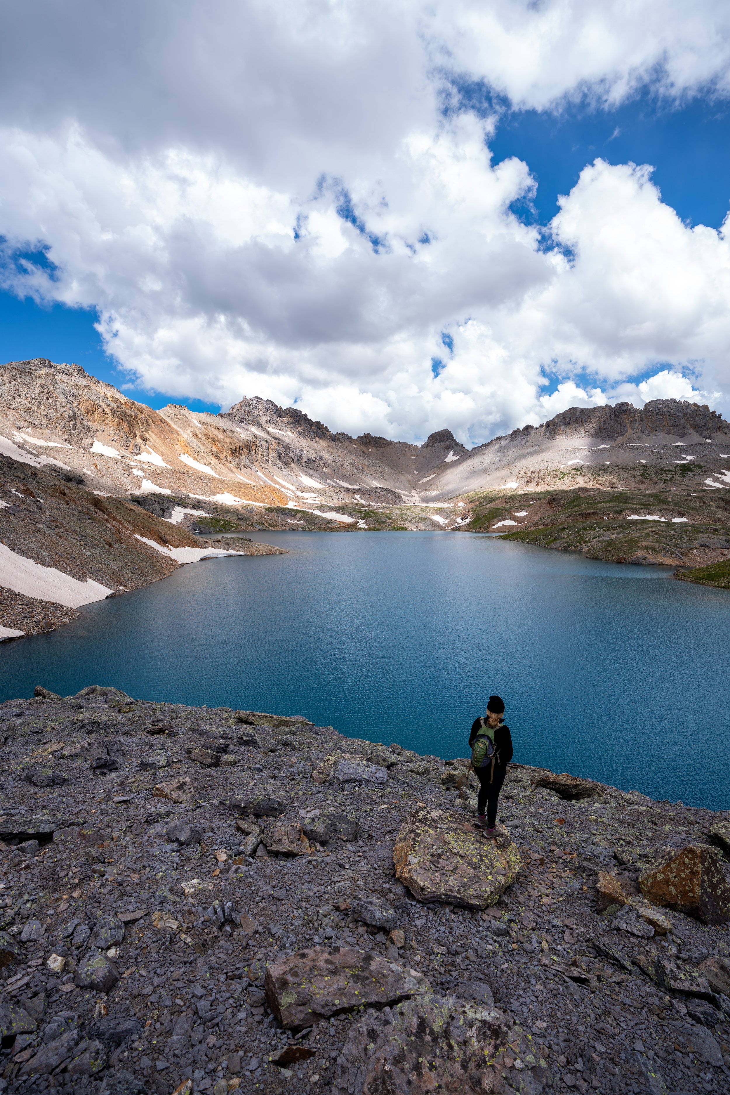
This is the view looking back toward Castle Peak and the saddle between.
Castle-Conundrum Peak Junction
Finally, the Conundrum Peak Trail returns to the initial split at the upper basin, saving about 0.3 miles (0.5 km) as opposed to re-climbing Castle Peak.
In perspective, the shortcut is really more about avoiding the 440-ft. (134 m) climb back to Castle Peak from the Saddle.
This is all to say that the risk of saving this effort is not worth the reward if someone in your party isn’t comfortable on that type of loose, steep terrain, as simply re-climbing Castle Peak to get back to the junction is, without a doubt, the easier and safer choice.


